Trip Report
Snowgrass - Cispus Basin - Nannie Ridge Loop — Friday, Jun. 17, 2016
 South Cascades > Goat Rocks

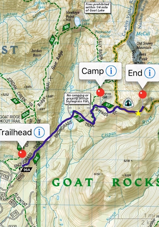
My father and I made our way up to the Snowgrass Flats Trailhead mid-afternoon on June 16. We passed a few other cars coming down the bumpy road (NF 21)- the road is littered with potholes, but it is passable (even in my small Honda Civic). We camped at the Snowgrass Flats Trailhead on the night of June 16 and started out for our hike out to the Cispus Basin campground at 9:10 am the next morning, June 17. Our goal was to camp there the night of June 17 and hike back the next morning, Saturday June 18. Although we knew it was a bit early for hiking season here and the weather would be overcast and rainy, we had high hopes we’d get to see some wildflowers and nice vistas for Father’s Day weekend.
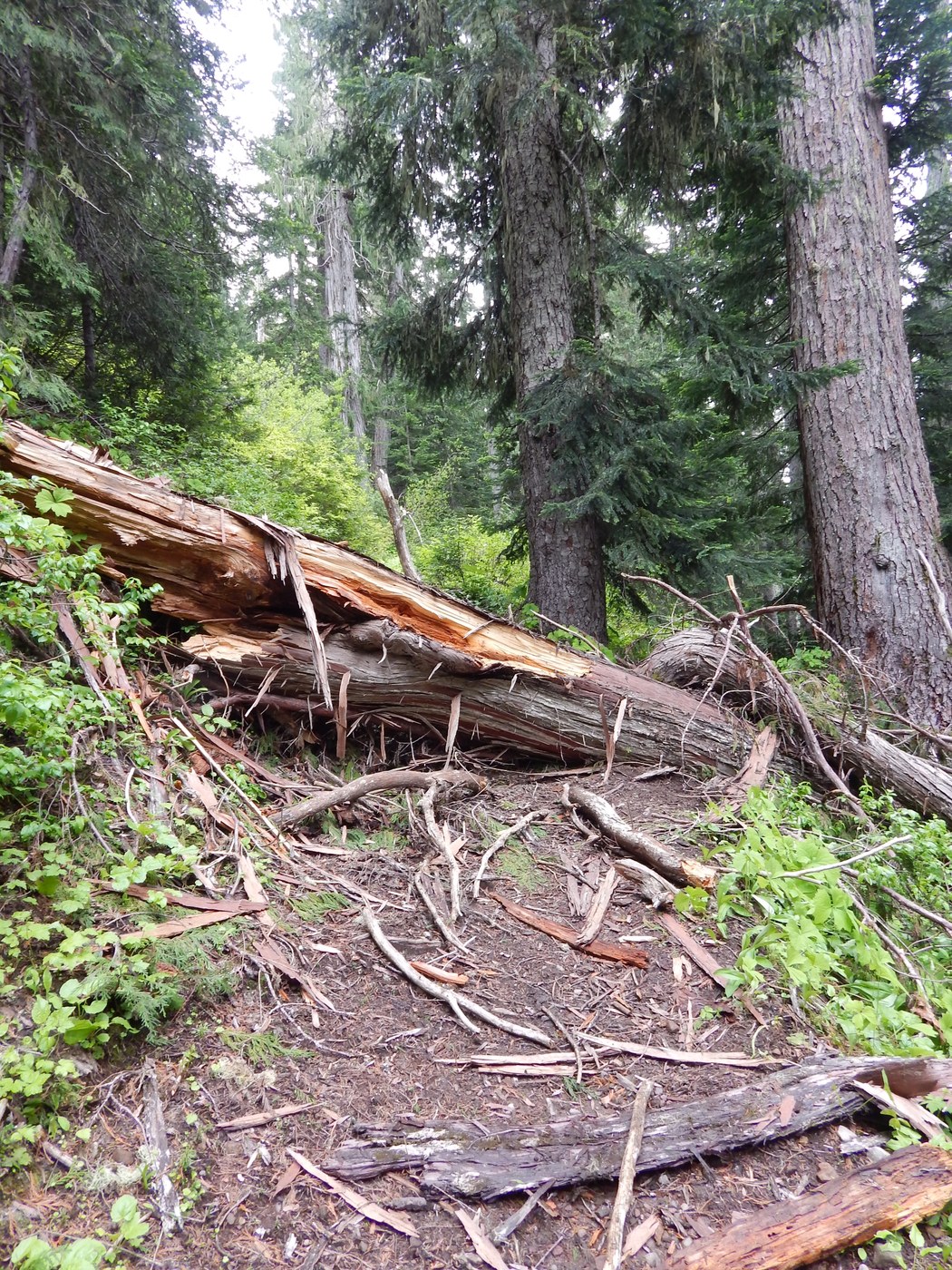
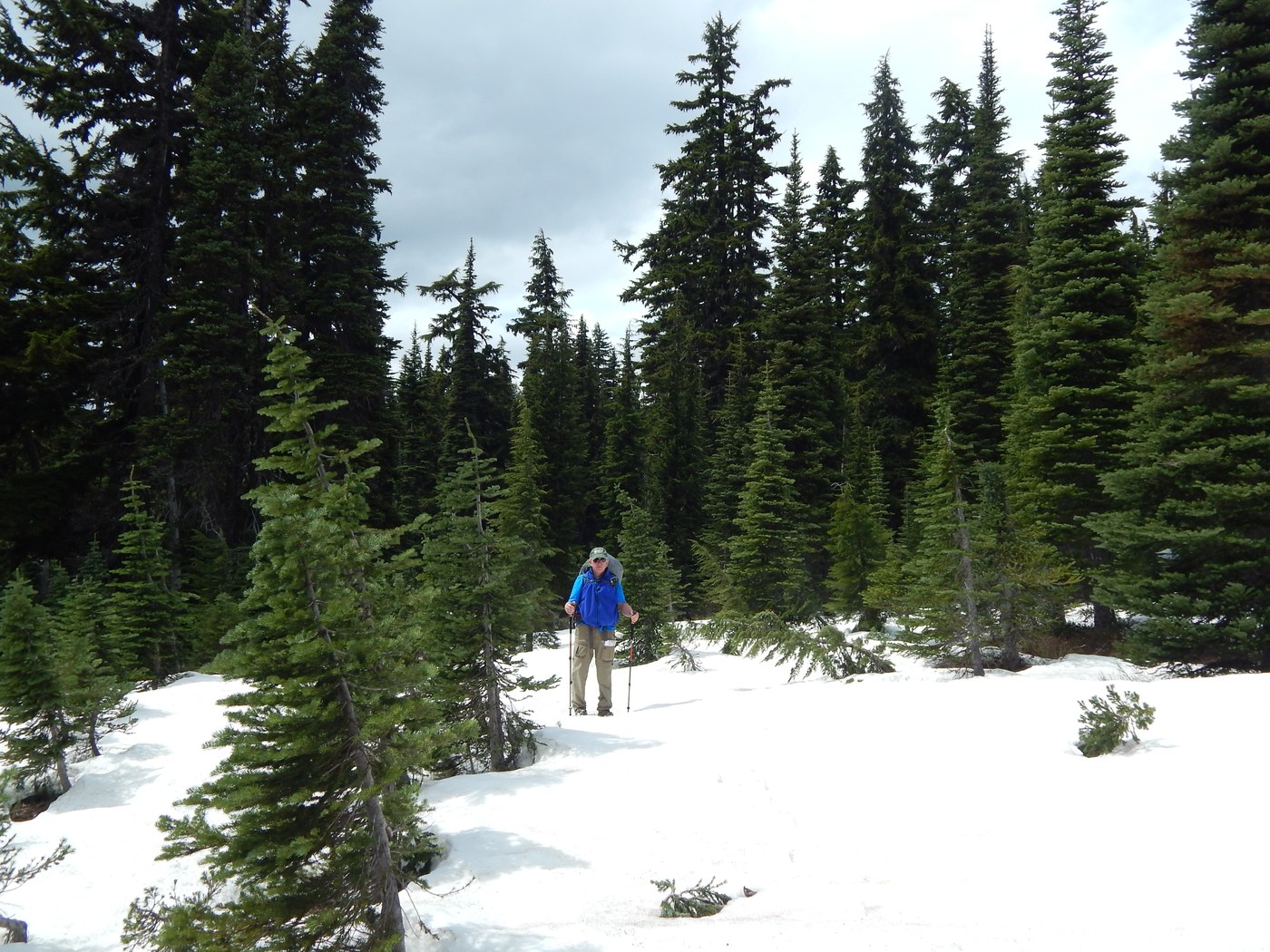
On Friday, June 17, we took lots of time on the trail, stopping to enjoy the scenery (but also using that as an excuse to take our heavy packs off for a few minutes…). The excellently built bridge over the raging Goat Creek was also a fun feature to enjoy. The trail was mostly wooded with a few vistas scattered throughout. We ran into snow on the ground at an approximate elevation of 5000 ft. There were numerous, large downed trees that we either had to climb over or go around. We had followed other hikers’ footsteps on the Snowgrass Flats trail (#96A), but the tracks in the mud and snow had completely disappeared once we got to its junction with the Bypass Trail (#97). It was at this point that we figured we were the first hikers of the season to attempt the Cispus Basin hike.
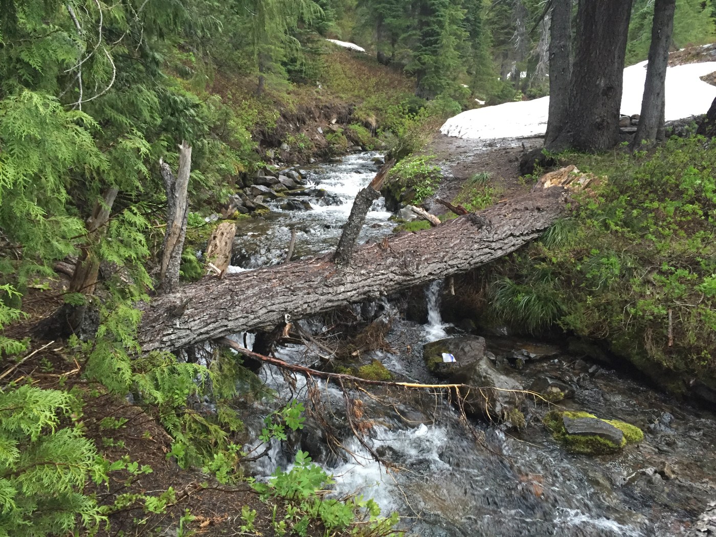
About a quarter of a mile into the Bypass trail, we encountered the Bypass Camp by a roaring creek that wasn’t named on our map. The only reliable way we could find across the fast-moving creek was over a large downed tree just a few meters north of the trail. Although it was a dangerous option, our balance held out and we were able to cross.
We continued to hike and encountered more and more snow as we progressed. The trail was very difficult to find at some points and if it hadn’t been for my handy pdfmaps app, we would have easily become lost. The short bypass trail ultimately led us to Trail 2000, the PCT! We hiked a little over half a mile of that and quickly realized our camping options were limited. We decided to call it a day and head back to the Bypass campground where we had crossed the creek over the fallen tree.
We hiked out at 10 am the next morning after making it through an excessively rainy night. It had started out raining, but this quickly turned into snow. Snow in June. Coming from NC, this is something we had never seen, but then there’s a first for everything. The snow changed to rain as we descended in elevation and there were only brief moments of sun throughout the day. About a quarter mile from the trailhead, it began to hail. We booked it and finally made it back to the trailhead by about 2 pm.
Now, I was quite alarmed to read Grumman74’s description of his trip, having run into a cougar. I have to say we were amazingly lucky not to have run into any aggressive wildlife out there. We had, as far as we know, no nighttime visitors at our camp. The only animal tracks we could see were those of dogs, elk, and deer. The only in-the-flesh wildlife we saw were two frogs in a small puddle.
We had encountered no other hikers on the trail on June 17. On Saturday, June 18, we ran into two young ladies on their way up to Goat Lake and a family heading out for a hike at about 3:30 pm from the trailhead.
Overall, I would say that despite the weather and heavy packs, it was an enjoyable trip. We saw beargrass, avalanche lilies, and shooting stars and even an overcast Mt. Adams off in the distance. TONS of starting huckleberries lined the trail and will be bountiful later this summer. The trees were a bear to get around and the ample amount of snow still on the ground (and still accumulating) made it difficult to follow the trail in some places, but we didn’t let that detract from our fun. Just beware the trail may not be fully dry until late July or August.


Comments