Trip Report
East Fork Foss - Necklace Valley — Sunday, Aug. 7, 2016
 Central Cascades > Stevens Pass - West

We started at the Necklace Valley trailhead around 9am on Sunday morning. The parking lot was full, but most people were heading out from a weekend trip and on their way home. Just a few potholes on the road, but nothing too bad.
As expected, the first 5 miles are just lovely and easy going... hiking along the valley through forest. There are some rolling ups and downs, but it's easy going. Some brushy areas. Berries ripening. There are a few campsites along the river on the way in, and I could see going back there for an early season trip.
At ~5 miles, there is a bridge at the river crossing where we saw a few groups stopped for lunch. Those on their way down warned of tough trail ahead, which we expected from the trail description.
After the bridge, turn left and head about 50 yards to another campsite. Turn right here following cairns across a large log and start up the rocks. This is where the going gets tough. We climbed over the rocky part using hands as needed. Then the trail heads steeply up a rocky slope. We tried rating the ascent on a 1-10 scale with Aasgard Pass being a 10 (Aasgard in the Enchantments- gains 2000 ft over 3/4 mile). We decided that this trail rates around 6 to 8 at the steepest. There are moments when you slowly take one step at a time to ensure you have footing. Parts are rocky and muddy. I don't remember any true switchbacks, just steep grading. We carefully made our way up in about 2.5 hours (including a quick lunch break).
There are also some flatter parts on the 3 mile ascent to Jade Lake. Enjoy them, but don't get your hopes up :) It's a LONG 3 miles.
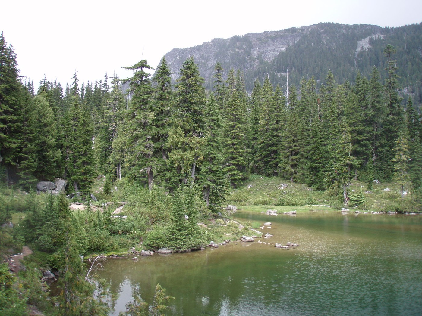
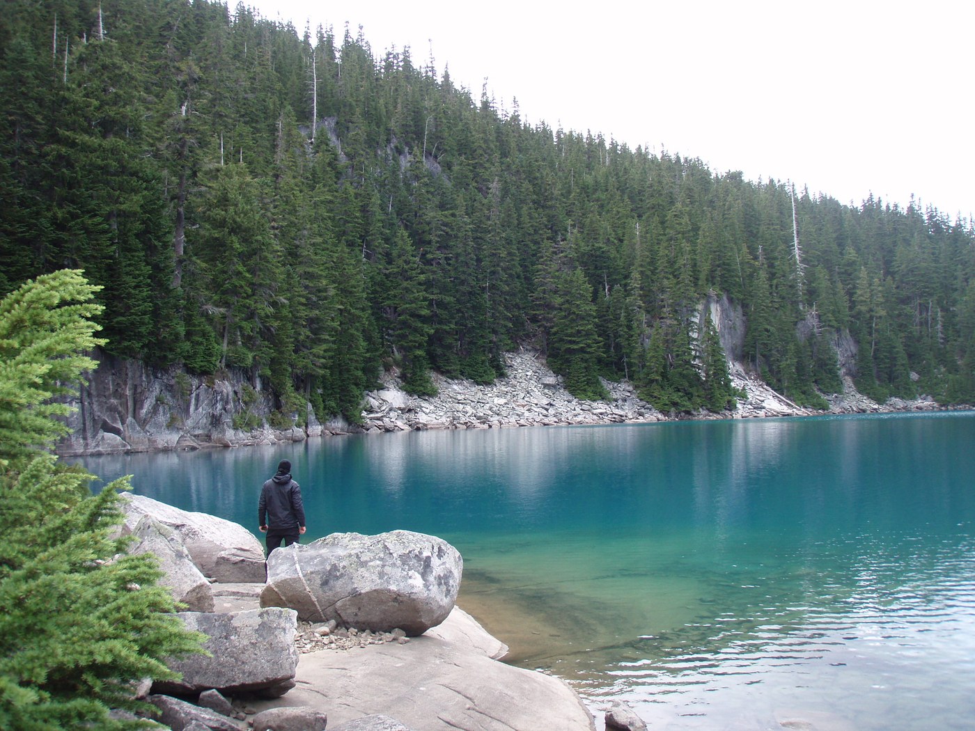
After one last rocky climb, we finally spied Jade Lake through the trees. We had a sigh of relief and began the skirt along the lake (found some fish swimming and took a break on a nice rock there). About 3 scenic campsites line the lake's edge. We crossed the stream on the far end and pushed on to see what the other lakes had to offer. When you spy the cabin, many trails head in all directions. (The cabin looks a little creepy inside, but people were camping in there.) To the right is Locket, to the left is Emerald and beyond that to the left is Ilswoot. Straight ahead lie Opal Lake and much further on La Bohn. I don't know if there is one best way to get down to each lake, but we found one trail that went down to the lower end of Emerald and crossed the outlet stream there. We turned right and headed down into a rocky gully to find Ilswoot. A ranger had recommended trying Ilswoot for a quiet camp spot, and after we saw the deep turquoise color, knew it had to be where we stayed. We skirted the edge doing a bit of rock hopping until we found a rocky inlet with a 'private beach' and dry campsite just up the hill from it. A waterfall across the lake offers a nice white noise. We saw a few mosquitos, but didn't have any issues with them.
We had a sweet quiet afternoon watching the lake change colors as clouds and sun came and went. It rained that night and was foggy/wet in the morning. Even though it wasn't actively raining as we started hiking out, the underbrush soaked our hiking pants. Rain drizzled on and off, and the water made for a muddy, slick hike down. It took closer to 3 hours to go the 3 miles back down the the valley.
I wish we could have spent at least one more day up there exploring all the lakes... people kept recommending Tank and La Bohn, but I don't know how hard the route-finding is going further on.


Comments