
Type of Hike
Multi-night backpackTrail Conditions
Obstacles on trail:Trees down across trail,
Bridge out,
Overgrown in places,
Mud/Rock slide or washout.
Road
Road rough but passableBugs
Bugs were an annoyanceSnow
Intermittent snow - not hard to cross
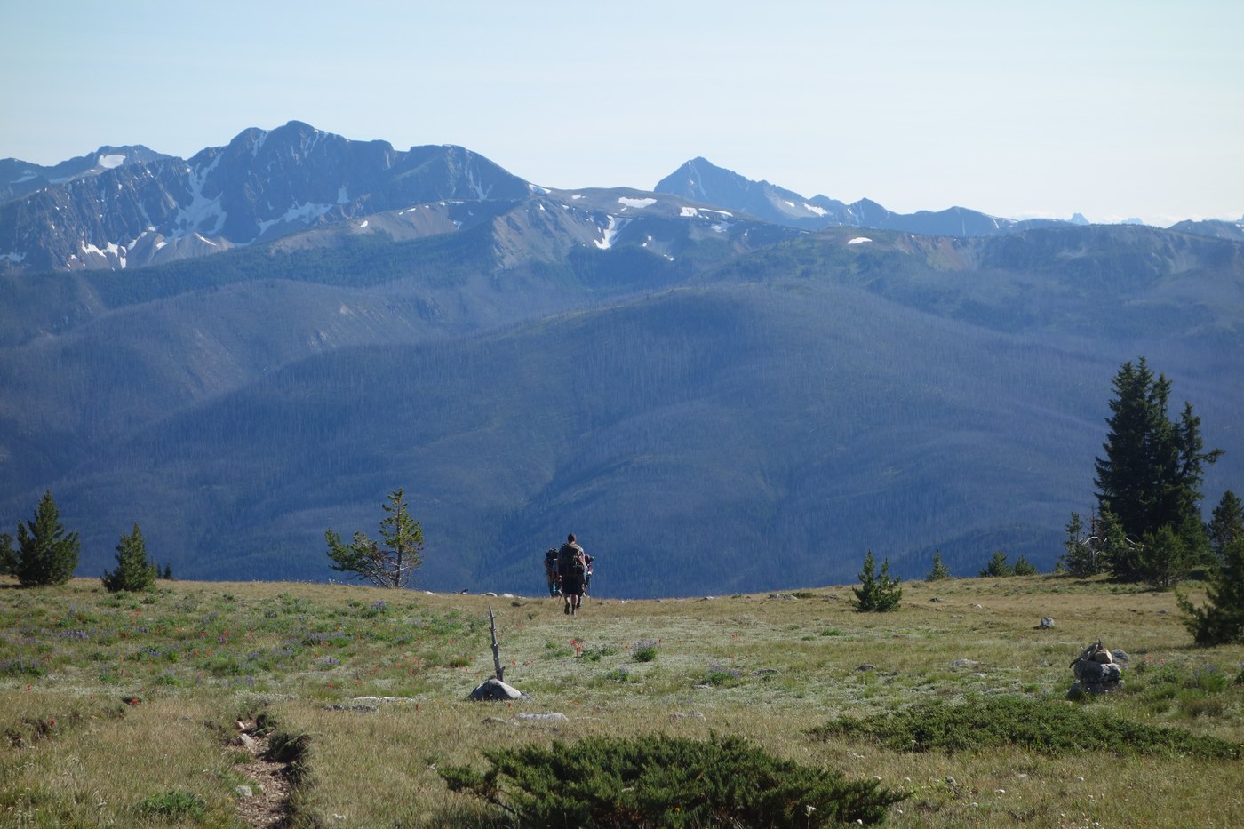
Hiked with a group from Iron Gate to Castle Pass on Boundary Trail 533 (GPS 81 miles) then south to Rainy Pass on the PCT (60 miles) with an 8-mile side trip to the Canadian Border for photos.
The road to Iron Gate is not too bad and our passenger car made it by carefully navigating around rocks, bumps and dips, but I would definitely suggest a high-clearance vehicle. The first 32 miles of the Boundary Trail, through the heart of the Pasayten, are cleared and gorgeous, with fast hiking, wide views, lots of water and plenty of flowers--along with abundant bugs of several types. Cathedral Lake and the nearby area had a few pester goats and deer, so we didn't camp there, worried they would chew on our gear.
Near Spanish Camp the trails get confusing, with several routes possible to the west and signs not corresponding to maps or GPS. The same thing happens near Peeve Pass, so keep your maps close.
The trail dropping and climbing out of the Ashnola River valley is only partially logged out, with patches of thick lodgepole blowdown that slow hikers considerably. We definitely appreciated the work that had been done here, since navigating this blowdown requires crawling and climbing and hurdling. Their is no bridge over the Ashnola, just a simple and refreshing knee-high wade. The "dangerous for horses" bridge the USFS refers to is now dangling in space over Ashnola Creek, but there is an easy bypass trail now.
The trail in high elevations past the Ashnola River is in good shape, again with lots of water and flowers. At the turn-off to Quartz Lake, the main trail looks like a side trail to a camp site, with the trail to the lake much larger. Past Quartz Lake and toward Bunker hill trail use clearly drops off. The trail has a steep, rutted climb up to the old lookout site at Bunker Hill. From the top, follow cairns to the west through the meadows, not the defined trail (456) to the south. After the cairns you will pick up the (rutted) trail again down Bunker Hill. There are a few places just off the top to camp.
The trail enters a 2006 burn and steadily drops. Experienced hikers will have no real difficulty staying on course even though the tread deteriorates. Look for cut logs, wide logged areas, and the "feel" that a trail should be there. The top half of the burn has small lodgepole to skip over, so the going isn't too bad. Toward the Pasayten River, the logs and log piles get bigger and harder to cross and the tread sketchier.
The trickiest part is finding the crossing the USFS directs hikers to use on the Pasayten River. There are two bridges out--the crossing on 533 proper that shows up on GPS is just a jungle--don't try it. Instead, follow "trail" 477 along a side drainage (East Fork Pasayten) about 3/4 of a mile and somewhat away from the main river. The trails in the burned area are virtually abandoned, with many larger logs and a few smaller slides tossed in for variety. Look for a flag where the trail dips toward the East Fork. We were looking for Pasayten Cabin, and a hoped-for clearing to camp, but never found it. (The cabins on some maps must have burned.) Instead there are a few flat spots by the East Fork to camp. We stayed there and crossed the Fork on a log the next morning. The main trail is in the saddle across the creek, and is relatively easy to follow back toward the main Pasayten River and the "designated " crossing, which is at the remains of another bridge. Christmas-tree sized pines are now growing in the tread and the trail will soon be gone completely if it isn't cleared out within a year or two. The river crossing itself was a piece of cake, with water barely topping the knees. Across the river in the floodplain, the trail vanishes completely. Swing to the left a bit and climb the first bench to relocate it. A GPS was helpful along with a leader very experienced in crosscountry travel. Once we relocated the trail, it was relatively easy to follow on the benches above the river, with mostly smaller logs to get around all the way to the junction with the trail to the old Pasayten air strip. Side trails, like Monument 83, are pretty much gone. The trail from Bunker Hill to Frosty Creek is challenging and not for inexperienced hikers or those uncomfortable finding their own route, but it can still be done, especially with the help of a GPS and a good map.
The trail up Frosty Creek started off great, with fresh work done to clear logs. Unfortunately the work wasn't complete, and the last few miles required climbing around many larger blowdowns. We camped near Frosty Lake, which is through a meadow by an avalanche area, about 3.4 miles from the Crest Trail. The side trip to Canada had a few logs, but not bad, and the trail between Castle Pass and Rainy Pass was completely logged out except for a few oversized trees in the Methow. Brush Creek lived up to its name, but beside that, smooth hiking. Water is harder to find south of Hart's Pass, with a few snowfields providing water. Camp spots were at a premium, with miles between them (and a fee to camp at Hart's Pass), and the PCT was a super-highway compared to the Boundary Trail with a better trail, and many more hikers.
In total a great adventure of 141 miles and eleven days through spectacular country.

Comments