Trip Report
Squire Creek Pass via Eight-mile Trail — Friday, Aug. 12, 2016
 North Cascades > Mountain Loop Highway
Type of Hike
Day hikeTrail Conditions
Minor obstacles posing few problemsRoad
Road recommended for high clearance onlyBugs
Bugs were an annoyanceSnow
Snow free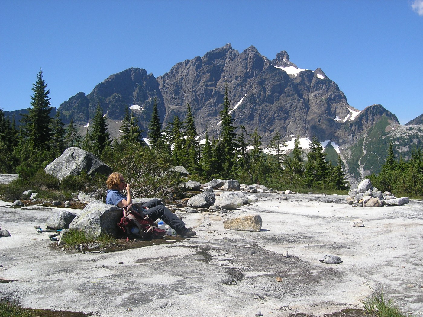
This is becoming one of my favorite hikes around Mt. Loop, but then again I like solitude and this has plenty of it since the access road is rough and the trail even rougher. Most of the access road is narrow and rough, but not steep. However, there is an especially deep trench to drive through and thankfully we had Cathy's Forester! Another couple of winter snow melts or just one really nasty one, and I believe this road won't be drivable to any car. The trail is something else again. I've been on worse, but this isn't something that casual hikers would like at all. Most of the folks that I saw on Pilchuck yesterday would be appalled. Still, it was just fine with me. You start out on an ancient logging road without much elevation gain, but in short order it turns to true trail. The first mile or so is nice through open forest, but once you pass the climber's wall it becomes rough with intermittent sections of steep and crazy steep with roots, rocks, mud, and other fun stuff finally entering gentler meadows at about 2 1/2 miles. The stats for this trip is 5.4 miles RT and 2350' gain, but it felt like a lot more. It didn't help that it was blazing hot today, although most of the time we were in nice shady forest. The last 1/2 mile or so is a blueberry fest.
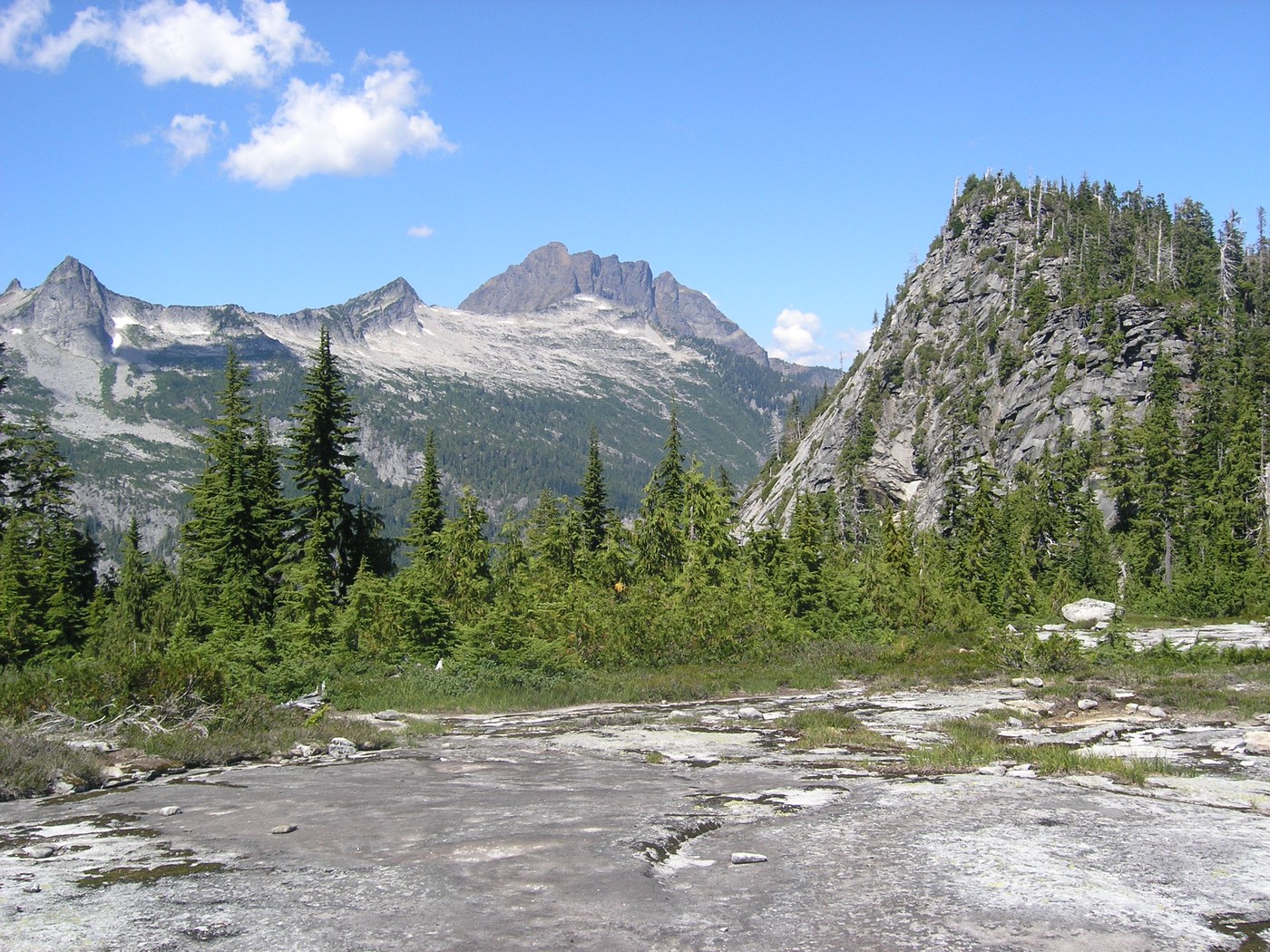
I did this trip a couple of years ago and was very impressed with wonderful, fairyland pools and waterslides that occur one after the other in the meadow section. These are pretty much dried up now, and I'd definitely recommend doing this trip in July since in my opinion this is the best feature of the hike. Still, the views from the pass are wonderful. Three Fingers is right in your face as is White Horse and all the granite cliffs thereabouts reminding me of the Rockies of Montana. I honestly believe that this is some of the best country in the area and it's a real shame that the road and trail are falling into disuse. So folks, drive this road and hike this trail and let the Darrington Ranger District know that we want this area open. I kept thinking all day that if this trail was made more hikeable, people would come and their boots would make it more hikeable yet. Otherwise, it will become another forgotten trail and the access road will be left to deteriorate. What a shame that would be.
Comments
The only time I hiked this trail was in 1986. Your TR made me look up my slides and comments from that time. I wrote that "102 Hikes" book's road directions were out of date and I had to stop at the Darrington ranger station to find correct route to the trailhead. Perhaps that experience made me buy "100 Hikes" in North Cascades, which has a RT estimate of 9 miles. That's about what I experienced. I wrote that the trail was rocky, rooty, muddy in places, and I got lost for a short time. It was a cloudy day, but I have photos of Three Fingers and some of the nearby Rockies-looking peaks.
Posted by:
Ballard Ambler on Aug 13, 2016 09:10 AM
This is among my favorites too. I like the rough and tumble trail though! I don't enjoy the road portion or the forest before the climbers wall; it's creepy 2nd growth slimey forest. But the rest - ankle-twisting, thigh-scratching, shin-bashing trail; I like it.
The trail from the other side - equally a pain, but you can stop well below the pass and enjoy the full-monty views of 3 Fingers from a boulder field.
The 8 mile side has spectacular Alaskan yellow-cedar; the Squire Creek side has spectacular western red cedar. Each trail has its woes, each has its merits.
The entire trail received maintenance about a decade ago; the trail from the Squire Creek side was rebuilt through the slide area (2002 slide)>
I agree; more boots on the trail!
Posted by:
Kim Brown on Aug 15, 2016 01:46 PM