Trip Report
Round Mountain — Wednesday, Sep. 21, 2016
 North Cascades > Mountain Loop Highway

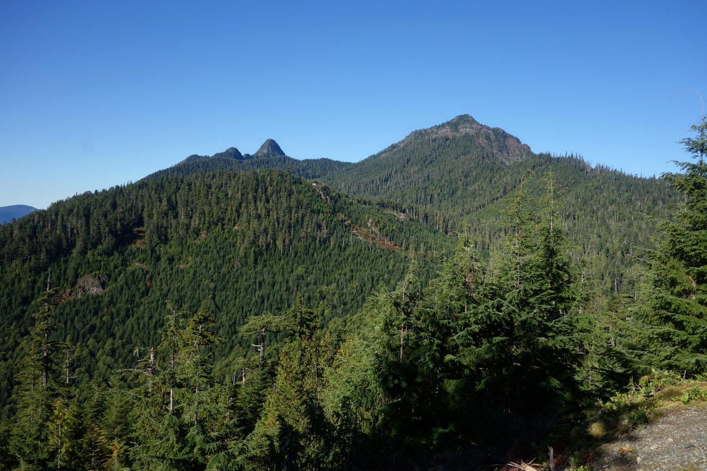
Looking for an obscure, quiet hike through exquisite old growth, leading to (5300 foot) mountain top views? Round Mountain, northwest of Darrington and near Higgins Mountain, may interest you.
I heard of this hike (which last had a WTA trip report in 2005) because a longtime hiking friend, John Lindstrom, did it some years ago. There is little information available online so John agreed to come along again and hike it with me. Another friend came up with a Summit Post trail description (below) and it is basically accurate. Unfortunately we were unable to complete the hike as it took more time than we envisioned (in spite of being only a few miles in length, and John needed to be back early.
We did manage to make it by (sometimes) faint but traceable trail to an open basin at 4500 feet (noted in the link). From there the trail appears to end and it becomes a steep, cross-country bushwhack to the top. Many will not be interested in this as a result, but for some of you the challenge may be just what you are looking for. Still, the trail culmination is in an open basin with nice views to the south of the Stillaguamish Valley and adjacent peaks, and thus makes for a decent turnaround point.
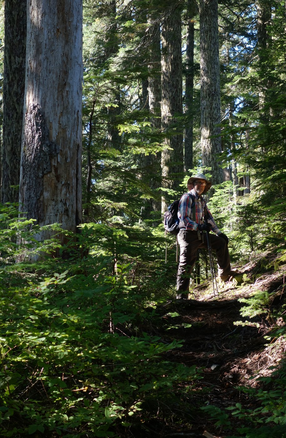
The trail head is easy to find with the instructions below. It begins in recent second growth, climbing steeply in spots but soon opens up into lovely old growth forest dominated by Hemlock, some of which I estimated to be 20-feet in circumference. The trail is fairly easy to follow, with some steep sections, all the way to the basin (just pay attention to what you are doing), where it disappears in low huckleberry, rocks, and Krumholz (at least we couldn't find it if it exists). From that point it is probably wise to follow the general instructions at the link. John thinks the very last push to the top includes a Class III scramble, while the link says it is Class II. Also, though a Darrington Ranger District employee told me the trail is "un-maintained" we did see some evidence of recent trail work in the lower areas.
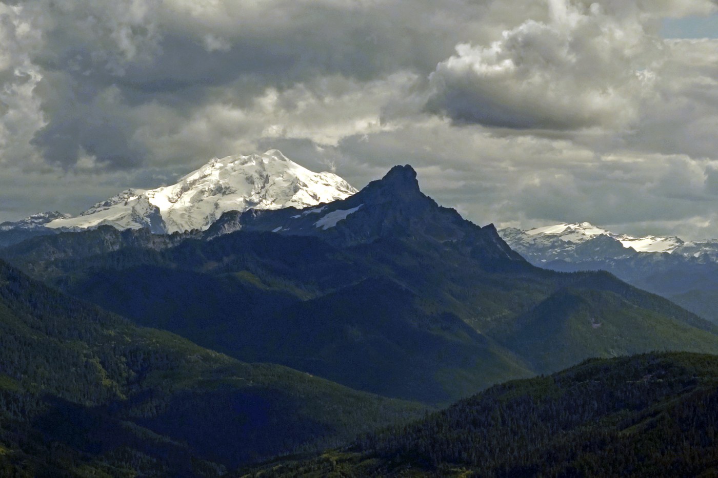
There are periodic views of Glacier Peak, White Chuck Mountain, Whitehorse Mountain, Three Fingers, Sloan Peak, Mt. Pugh, and the Monte Cristo Group along the way. Again, the old growth forest portions are worth the hike, even if you only get to the basin.
The link below will give you accurate, specific instructions for accessing the trailhead via FS 18/FS 1850 and the trail head itself (note also additional photos at my OneDrive link). Keep in mind that the logging road is apparently active, though we did not see any traffic in the 12 miles to the trail head off Hwy 530. I would say that the Round Mountain Trail needs some usage, so "have at 'er!"
http://www.summitpost.org/new-round-mountain-trail/634957


Comments
Good to see that you are on the trail again.
Best regards,
Geezerhiker
Posted by:
geezerhiker on Sep 22, 2016 07:56 PM
so nice to see a trip report on the path less taken...thank you!
Posted by:
journeycake on Sep 22, 2016 09:11 PM
Journeycake: Thanks. Part of the reason for doing the trip report is to bring something new to the table.
Posted by:
Trailbagger on Sep 23, 2016 08:43 AM
Thanks, "Geez"!
Posted by:
Trailbagger on Sep 22, 2016 10:15 PM
Excited to check this one out!
Posted by:
bfox1218 on May 10, 2019 05:15 PM
Anyone been near Round Mountain yet this season?
Posted by:
Sherbear-Hiker on Jun 06, 2019 08:36 PM