First, let me say that some of the mileages listed above do not coincide with listed mileage intervals of my Greentrails map for the area. By the count using the Greentrails maps and the mileage given above for the Red Pass section (as this trail isn't shown on maps as anything more than a suggestive straight line) I came up with a completed mileage, not including the road walk from the PCT north TH to the Snow Lake TH, of 19. miles. So take this into account the total mileage is closer to 21 miles.
This is a long day hike in good conditions and, as usual for me, these were not good conditions. Upon arriving at the PCT North lot the weather was wet and the cloud level was low. I repacked my gear into a more waterproof and less worn pack, donned all of my rain gear and was on my way. As I usually do my hiking during the work week I had the whole area all to myself.
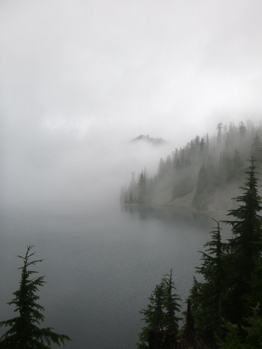
I arrived at the Snow Lake TH at 0930. The hike up to Snow Lake took a bit more than an hour. The cloud level was descending and the conditions deteriorating. However, if I always waited for ideal conditions I'd never leave my house. By the time I reached the drop into the basin visibility was becoming rather poor. I hear there is a lake down there somewhere. I proceeded down and around the lake to the junction with the Rock Creek trail, got a picture of what might be the lake, I'm not sure, perhaps it was just the rain on my glasses.
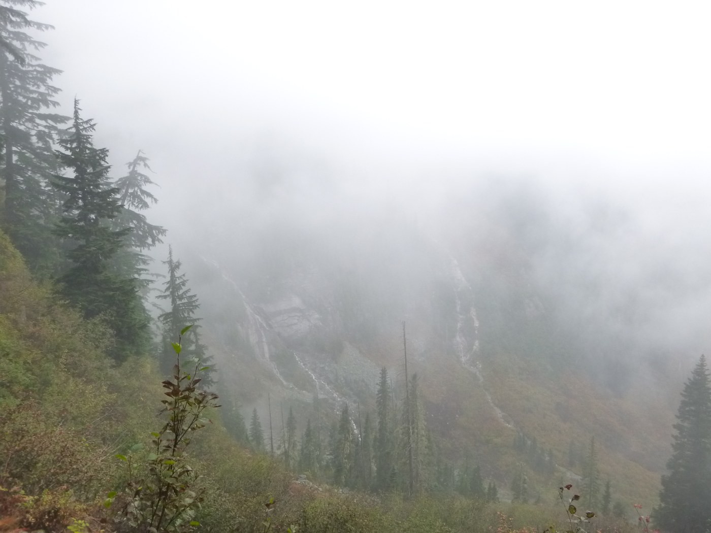
The descent down to the Middle Fork trail was fast and uneventful! I trotted most of the way (and my middle aged knees are paying for it today as I was wearing boots, not trail running shoes). There was a washout/slide about a mile or so in (there is a sign warning of it at the trail junction) that wipes a portion of a switchback across the talus but this is easily, but carefully, navigable. The trail is slick on the talus, narrow and requires some care. There are trees that lay across the trail that require climbing over or under. If I were traveling in the opposite direction this trail would be a serious undertaking!
The Middle Fork trail is, as usual, uninteresting but pretty. At Thunder Creek I had an interesting encounter with a young woman who was headed to Goldmyer. She asked if she was even on the right trail. this pricked up my ears, what did that mean, "am I on the right trail"? I asked her to explain. She said "I stayed at Snow Lake last night and I'm going to Goldmyer today. I'm hoping that I didn't accidentally head to Gem Lake. Is this the trail to Goldmyer?" I got out my map and showed her where we were, where Goldmyer was and assured her that it was impossible to miss. She was to meet her husband there, who I presume was at Snow Lake with her as he had the tent, according to her. I am always surprised how many people I meet in the back country that aren't actually prepared to be there and negotiate it safely. Another note, this is a good place to fill up water. While there is always Burnt boot Creek, you'll be splashing through this one whereas you won't actually come into contact with Burnt Boot. And really, fill up! I didn't and it was stupid.
I began this section at about 1300. I'll not belabor the lower section of the "trail" to Red Mountain Pass. It was slow and careful and required climbing over, under and through many fallen trees/piles of fallen trees. There was also one large fallen tree, bridging a rather deep gully, that I didn't love.
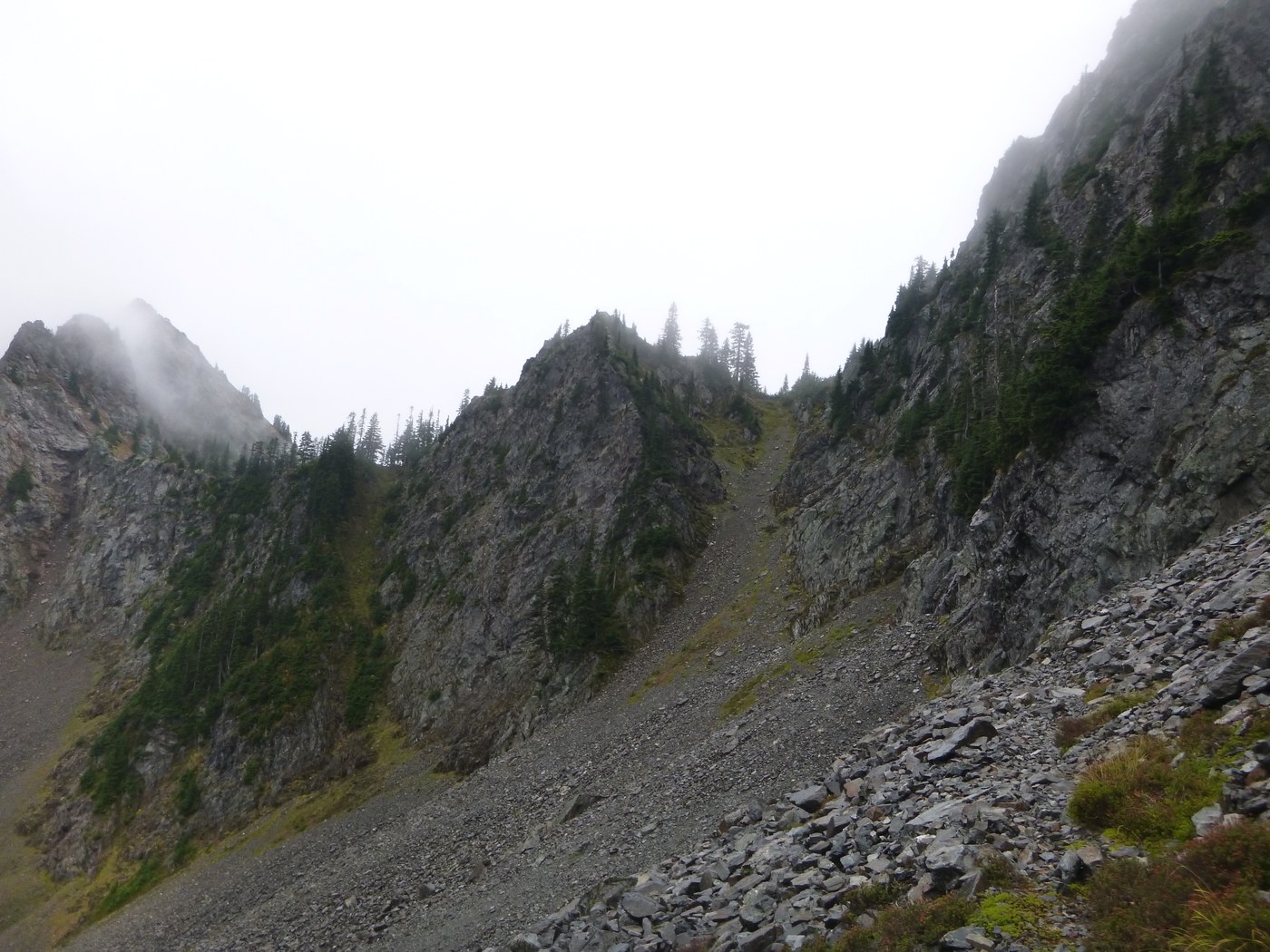
This leg of the loop is vicious! It climbs steadily for miles and wraps up with climbing through a lovely avalanche chute where my soft pate felt unusually exposed. This ascent is something to take very seriously! I say this as a former climber and mountaineer and as one who routinely travels through the back country alone. The consequences of a slip on loose rock or to not pay attention to your surroundings in the upper reaches of this trail could easily be fatal. Don't bring your children or dogs on this one. This would be an extraordinarily bad place to get injured. Finally, bring trekking poles or an ice axe to take some strain off of your knees.
Don't tackle this leg without a few quarts/liters of water. I didn't and I fully regretted it. I'm sure it's why I performed so badly on it and had to slow down due to cramping. It will also affect your bodies ability to digest any other snacks you brought along to keep yourself fueled up. By the time I got to the top of the pass I was wobbly and didn't have the prospect of any water until I got to the creek at the bottom. Big mistake!
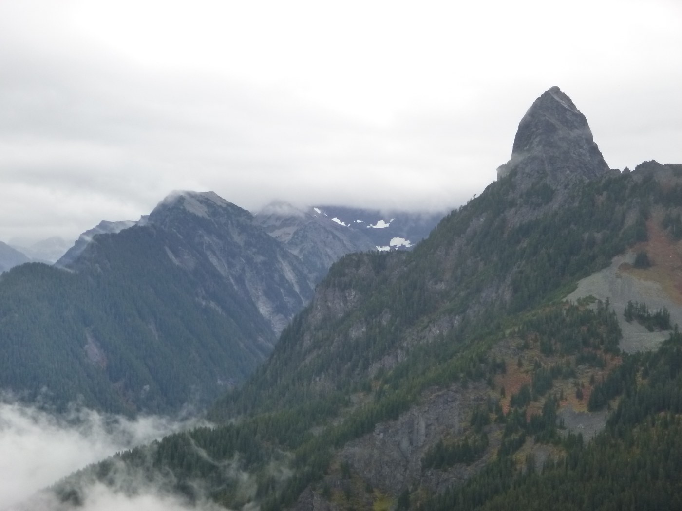
From here the hike out was fairly routine and the day was getting a bit long in the tooth. It was 1600hrs when I topped out here after a steady 3 hours on the climb up here (I certainly feel better about myself after reading it's 4.5 miles). The walk out from here took about 2 hours, not including drinking myself full at the creek and eating a sandwich and other snacks. Alas, it was already too late, the damage was done. I remained a bit wobbly on the way out. I was back at my car around 1800.
All in all, this is a good loop, but it definitely has its risks. Be sure to have plenty of water for the climb up the the pass and the route finding skills and patience to navigate the cross country portion of this trip. Maps, altimeters and compasses are your friends. Really, drink more water. More. Again...more.


Comments