
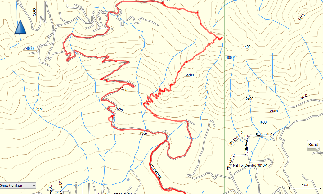
Ascended via the logging roads and descended (to our chagrin) via the SW ridge, thinking (incorrectly) that it would be faster.
There is a very well-packed snowshoe trail along the roads. The snowshoe trail leaves the roads and runs along the ridgeline to the summit, also cresting the false summit with 200' of prominence. Aside from some ice on the road before it becomes snow covered, the trail is great. It would make for a long day, but any party with good fitness and an early start would have an excellent time on this route.
The summit does not have a substantial cornice currently. All of the footprints on the summit were on safe terrain. The summit ridge above the treeline is a real treat and feels more like the final few steps of a significant mountaineering objective than a day hike 35 miles from Seattle.
The SW ridge route is currently snow covered, but the snow is not deep enough for a good bootpack until the last bit before the summit. In many places, footholds gave way to the underlying vegetation, often in moderate-to-high consequence terrain. It's manageable for an experienced party comfortable with a sketchy scramble, but the overall experience would tend more towards Type II fun. Of course, with the weather moving in this week, it's anyone's guess what this route will look like by next weekend.
Comments