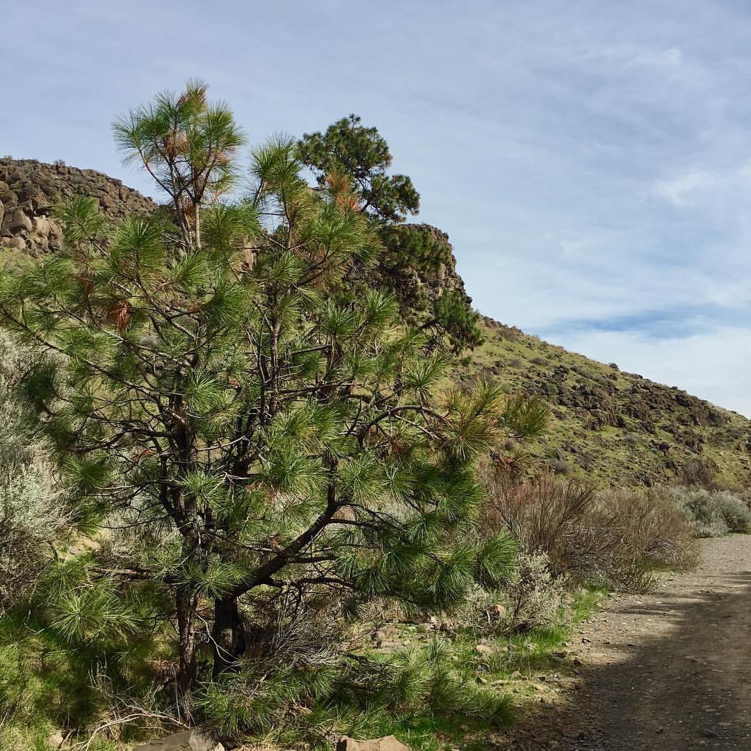
The trail goes along the Tieton river with cute little bridges at intersections. It is almost flat, with the black stone-y gravel and plenty of wildflowers and very green all over. On the day we hiked, sun was bright adding to the warmth.
The trail itself is around 3.5 miles out and back, but you can extend it by walking further along after you see the 'Bypass Bridge' board on the right. This will lead the trail closer to some people's backyards, without getting into their private territory. You can even hike up some of the hillocks for great views. We managed to make a 6 mile hike here.
Be careful to not step on the wildflowers or deviate from the trail, but do take time to enjoy the river when it passes so close to the trail. There is dog-poop in places, so watch out.


Comments
Bob and Barb on Cowiche Canyon
The water is Cowiche Creek, not the Tieton River. Nice photo of the Creek!
Posted by:
Bob and Barb on Apr 10, 2017 08:10 PM
scarletohhara on Cowiche Canyon
Thank you for correcting me. For some reason I thought it was Tieton, may be Google showed it to me some place. :)
Posted by:
scarletohhara on Apr 11, 2017 08:24 AM