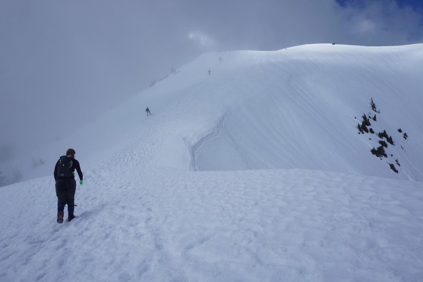
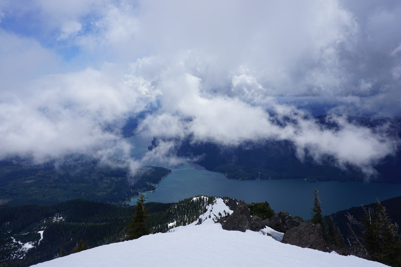
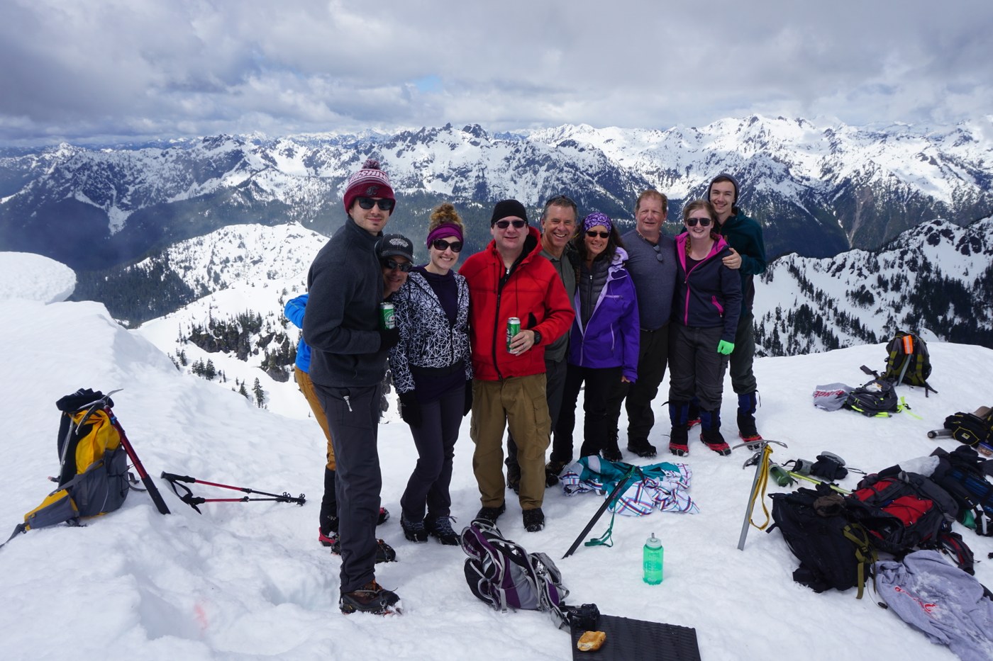
As previously mentioned, the first mile of the road to the lower trailhead is rough even for 4x4 or truck as it has massive potholes. Arrived at lower trailhead at 9AM and there were already 10-15 cars. Had a fairly large group and took ample breaks as needed. For about the first 1-1.5 miles the trail goes through old growth forest and is relatively snow free. After about 1.5 miles the snow covers the trail and there is numerous spots where hikers have postholed. The snow is melting so some areas along this part of the trail are soft and slippery. As the trail increases in difficulty and meets with the upper trailhead, it becomes steep and snow covered. This upper trailhead junction is probably where you will need/want microspikes or crampons. Most in our group used microspikes from here all the way to the summit. Two of us used crampons. Once you reach the snowfield and see the avalanche chute (roughly 2 hours for our group to reach given our group size of 10), it's all straight up hill with two false summits/bowls that provide for a nice rest. There is boot path to follow along the glissade chutes, but later in the day they are sloppy. The summit was beautiful, and we glissaded all the way down to the beginning snow field in about 10 minutes. Lots of fun, but be sure to have an ice axe to control your speed and self arrest when needed. Saw several people without any ice axe or even boots. While I think you could summit in just hiking boots, the soft melting snow just makes it more difficult without the benefit of crampons or microspikes. Saw several hikers with snowshoes on their packs but they never used them. All in all a great hike!
 Washington Trails
Association
Trails for everyone, forever


Comments