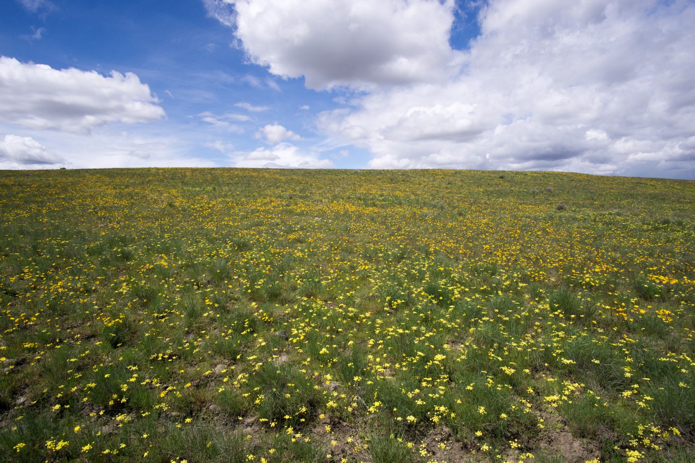
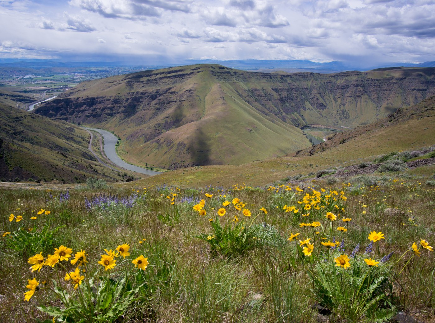
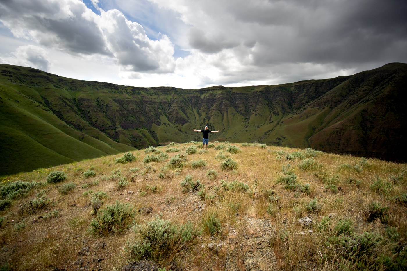
We decided to hike from the canyon pullout just north of mile post 4 on canyon road up to the "summit" and head north toward elevation point ~2700' just above the river bend and dam. The views were spectacular over the entire ridge and the weather was just as good. Our main mistake was trying to make a loop out of the trip by racing down the ridge toward the dam and cutting back south at about 1900'. There are boulder/scree fields just above the canyon road, making it very precarious travel. We were extra careful not to cause any rockfall that would land on the road (or cars - eek!) and eventually made it down to the road after some very slow going. It was easy flat road walking from there back to the car, thus completing a 4.9 mile loop with just under 2000' elevation gain/loss.


Comments