
Note: the trailhead is not marked, but directions on the WTA website are accurate. 7.4 miles is right on. You will pass a bunch of vehicles parked on the left for Mailbox Peak. Keep going, you're on the right path.
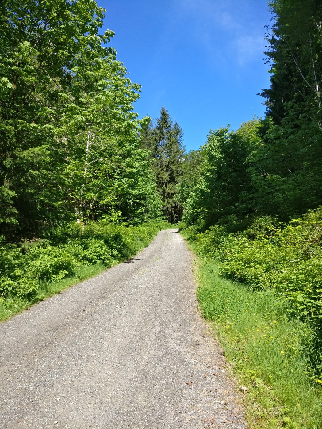
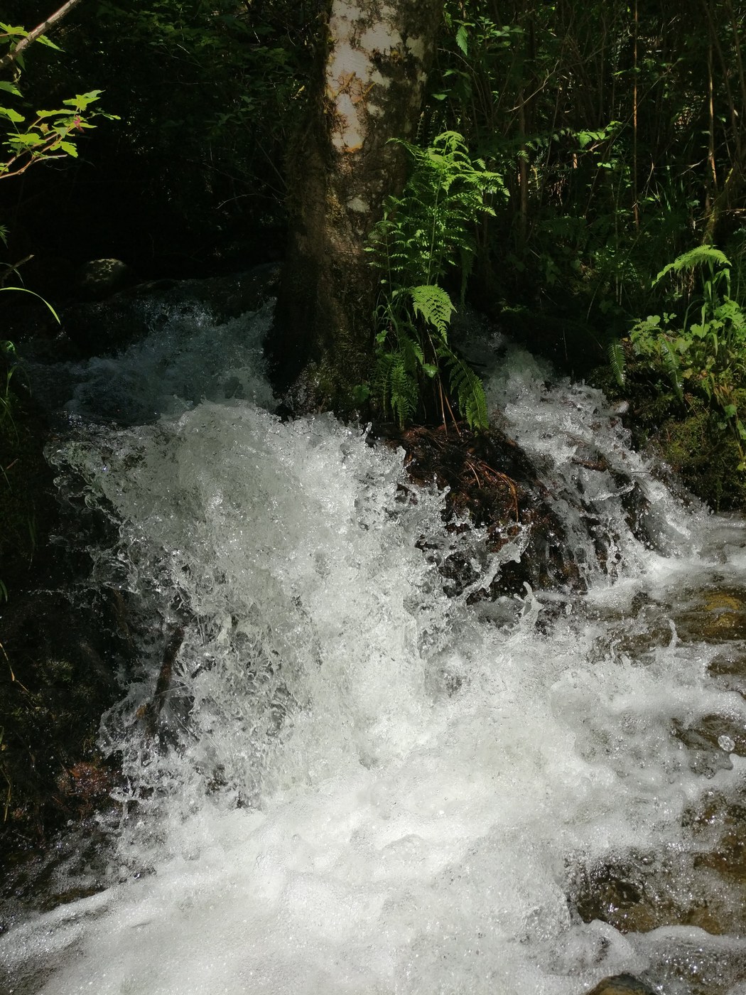
The hike itself is quite nice, easy enough but with some nice views of waterfalls, clearings, and foilage. It's very secluded so you'll get a nice sense of peace and quiet.
The hike starts off uphill on a gravel trail. This is the most elevation gain you'll have for the whole hike. At the top of the gravel trail, we turned left and crossed the stream but you can also take a right turn and go the opposite way. We kept walking and crossed the second big waterfall. We kept going and got to a fork in the road. We weren't sure if it was a loop or not so we decided to do the out and back route. It ended up being just over 8 miles.


Comments