

The middle fork road 56 is in great condition. Any car could make it to the Middle Fork trailhead now. It's mostly paved and all the giant potholes are fixed. Now if they'd improve it all the way to Dingford Creek TH...
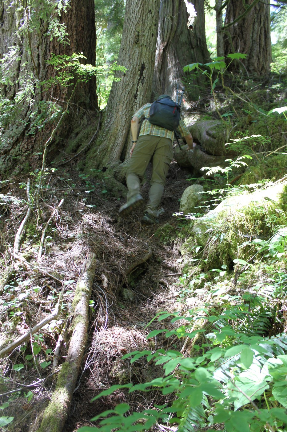
We took the Middle Fork Trail to the bride across Cripple Creek. GPS said it was a little over 5 miles. Cripple Creek is running high, really gorgeous from the bridge. Just before the creek there is a faint path heading steeply uphill. We took this "trail" towards Tin Cup Joe Falls. This "trail" is only a faint bootpath. Indistinct in places and easy to follow in others. There are some really large blowdowns along the way. You likely need to hunt and find the trail at each one-- we did. We only lost the trail once in each direction, on the same basic area of the trail.
It's hard to get a good view of the falls. They are AMAZING FALLS OMG! We climbed down to the creekside to peer through the trees at them. The creek was running really high and although there is an excellent tree across the creek to cross on, I didn't want to bother with it. The falls/creek are so loud that our ears were ringing after we left. You might want earplugs if you want to stay for a while.
We highly recommend the falls. The trail, however, needs some more feet on it because it's for adventurous folks only at this point. The good news is that if you have any direction sense at all, you won't get lost here even if you aren't on the trail- just go upstream until you follow the falls. The going is a lot easier on the trail.


Comments