I arrived at 5:15 Am and there were already about 10 cars in the lot. Everyone getting out early since today's forecast is for 100° highs.
The directions from WTA are confusing because one of the trails is closed. See trip report below mine for a good alternative loop. Or you can do an out and back like I did. Trails after Angels Rest are quite narrow and overgrown in spots. But still a nice hike even with shorts and a dog. This is a long hike and remarkably challenging for a weekender like myself. I wouldn't suggest small kids beyond Angels Rest Not that it's dangerous, but just because of the sheer length of hike. It is almost 11 miles round trip.
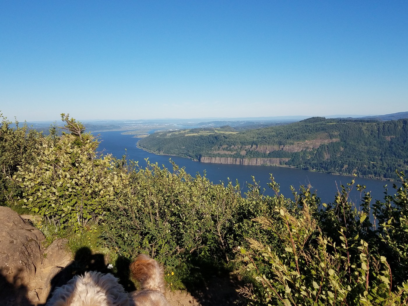
The trail to Angels Rest is very busy and for good reason. The view atop is amazing. A lot of bang for your buck on that section. Beyond on the way to Devil's Rest I got some great solitude and only a couple passers by at Devil's Rest.
The trail after Angels Rest is called Foxglove Trail and it has two major junctions. One to the left just about 1/8 mile along which I skipped but is where the "loop" part of the trail meets back on the return. I kept going straight. After a while maybe a mile or less there is a junction. I went right, this is all Foxglove Trail according to Google maps. The straight choice was blocked with branches and debris so right was only option. Then after a uphill hike full of ripe Salmon Berries and lots of flowers the trail junctions to the left. This is Devil's Rest trail 420. Follow this up to Devils Rest. There are a few signs.
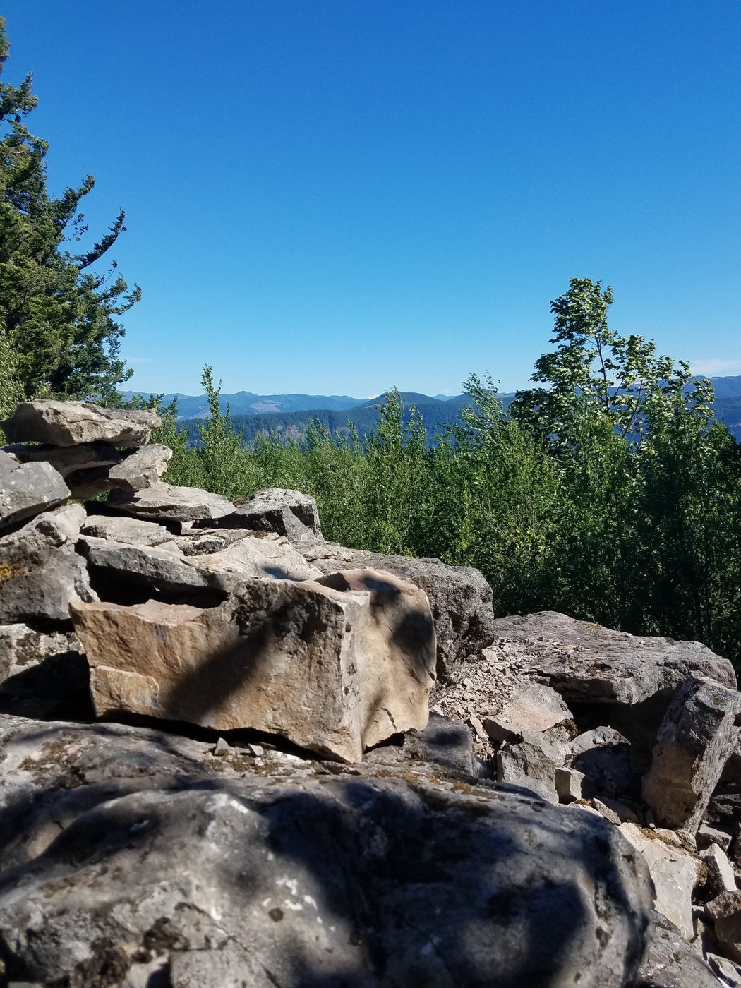
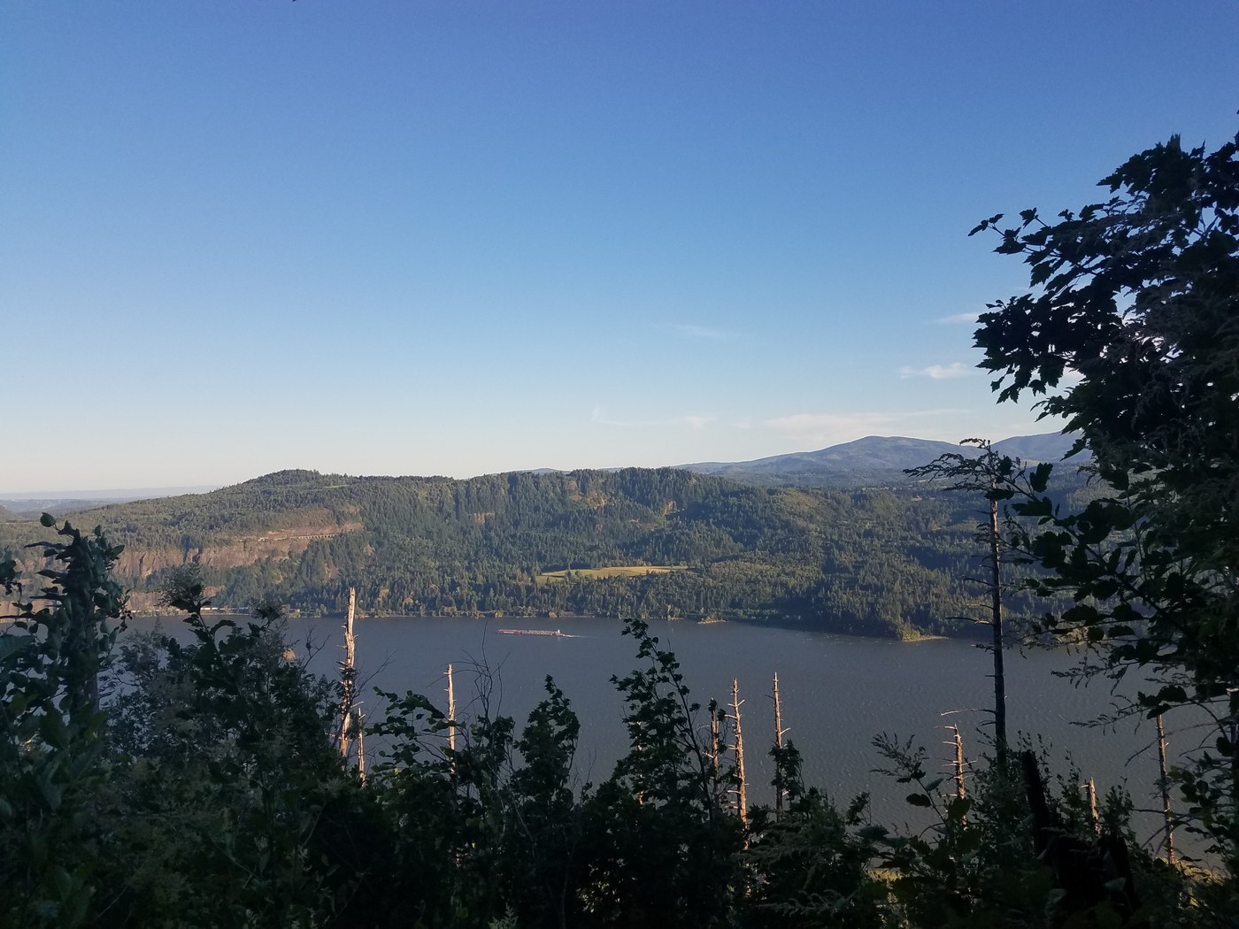
I never did see a trail heading left to a viewpoint before the summit, but i did round Devil's Rest after the summit and headed down hill very steeply to a weak viewpoint not worth the hike back up which was an ankle breaker.
After Devil's rest I turned around and went back the way I came up.
All in all a nice hike but very hot today.
One additional note. Use Google maps to help guide you. The trail is very accurate and I had 4G service for the duration of the hike.


Comments