Trip Report
Cutthroat Lakes via Walt Bailey Trail — Friday, Jun. 30, 2017
 North Cascades > Mountain Loop Highway

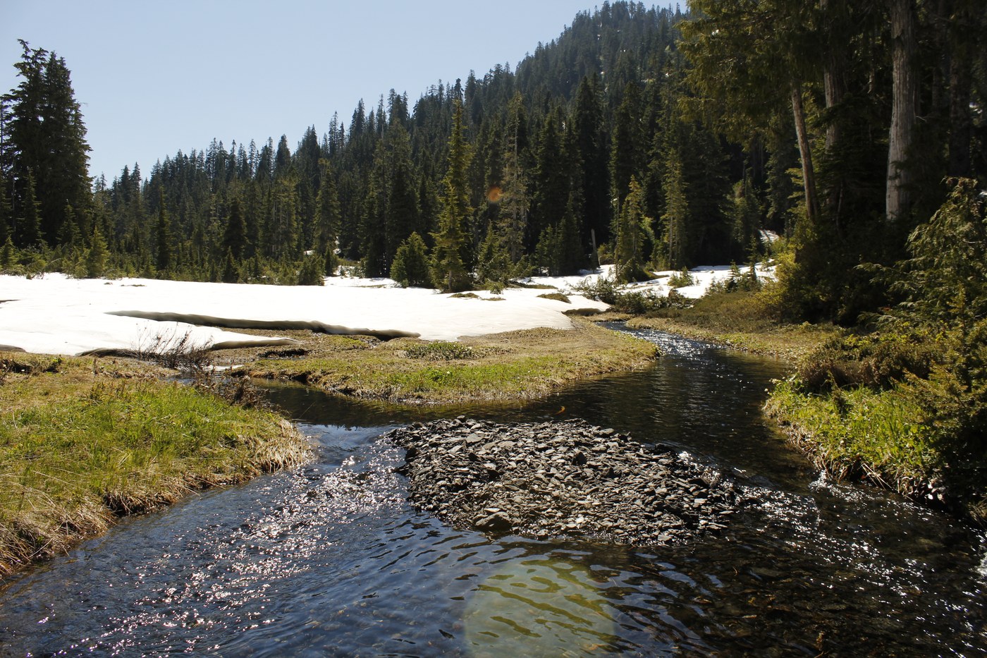
The road to the trailhead was in decent shape, although a vehicle with higher clearance would be better off with the high center of the road. We started from the trailhead at about 10am and got to the lakes between 2-2:30pm The trail is slightly eroded near the bottom but as long as you watch your step you’ll be fine. The trail is very easy to follow, with a few small snow fields, up to the meadows. The snow in the meadows give them a fairytale-esque look, so even if you aren’t sure about your ability to cross the chutes and snow fields beyond, you can still camp here and suffer through the inadequacies of the fairytale meadow.
The first big snow field/avalanche chute begins shortly after this and it can be rather difficult to find where the trail reconnects on the other side. Where the trail starts on said snow field is marked by a pink ribbon, and if you traverse directly across the chute it will put you near a cairn, so keep an eye out for it. And watch your step along this traverse, the snow is thin in spots and I postholed up to my thigh once, banging up my ankle in the process.
From here the trail crosses through a few clearings where the trail disappears. Thankfully most of the less discernable areas are marked by colored ribbons (mostly pink and green), but one of those ribbons was hidden from our view and we ended up taking a wrong turn (we fixed this ribbon on the way back), this led to us taking over an hour trying to navigate our way back to the trail by only my memory of the trail and our common sense of how the trail would have most likely attacked the ridge. Ultimately we did find it and made our way up the ridge.
Once again there were many spots where the trail vanished on the final stretch to the lakes. We finally strapped on our microspikes around this point. Several of these spots were very steep and/or crossed moving water and should be approached carefully in the coming weeks.
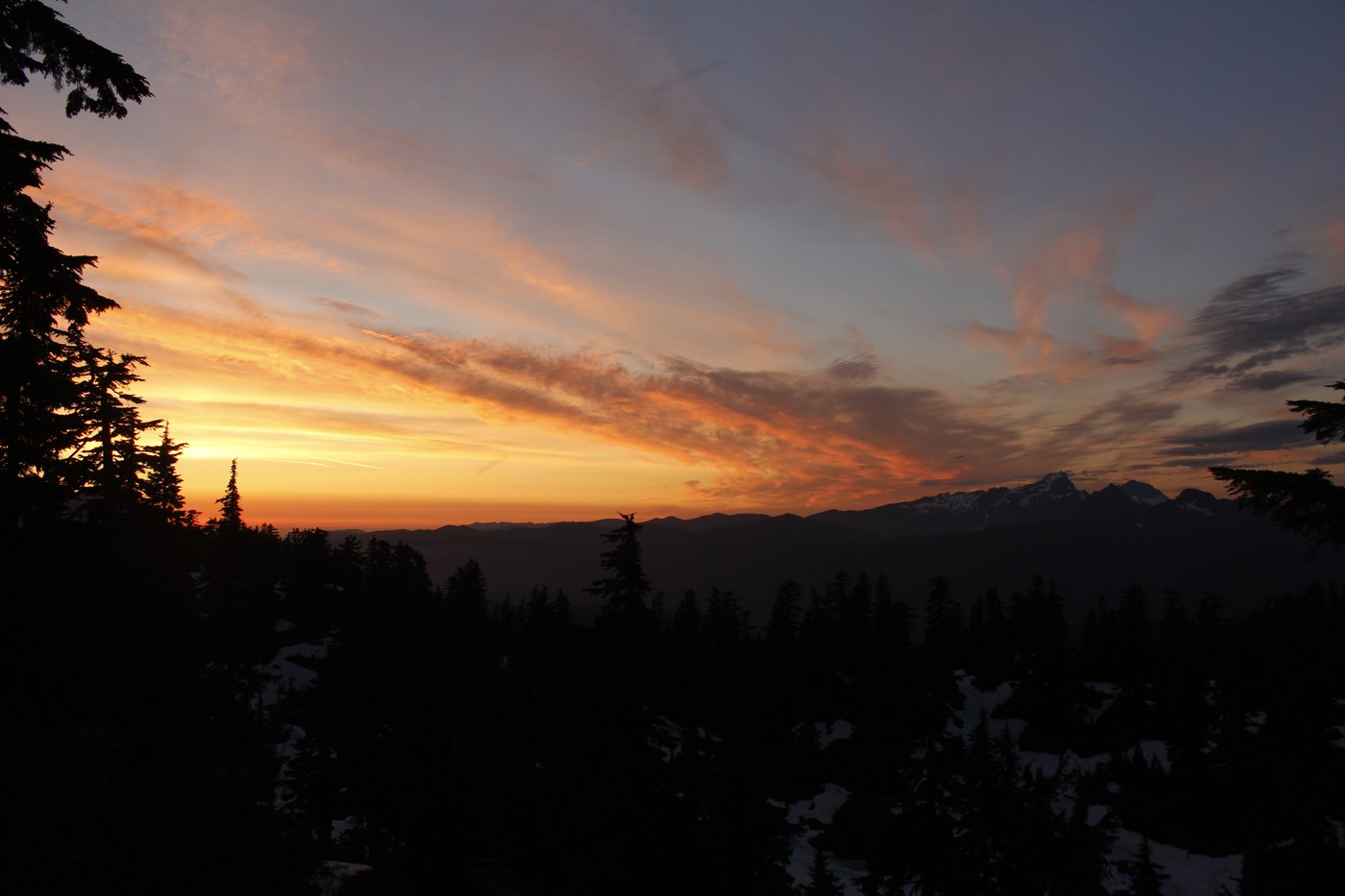
The lake basin itself was awesome and very easily navigable but the lakes are all still covered in rapidly melting snow. We had intended to summit Bald Mountain but our “detour” kind of killed our motivation, so we took a 3 hour nap instead. We set up camp at the Upper Cutthroat Lake on the point that juts out into the lake, mainly due to the fact that it was the only one we could find to accommodate a 3 person tent that wasn’t covered in snow or flooded by meltwater. We had to endure a horde of bugs every time we left the tent but we were rewarded by a killer sunset.
One other group stayed up there that night and got to the upper lake right after sunset, and another group and a solo hiker were on their way up on our way down.
We left Upper Cutthroat Lake around 7:30am and got back down by 10:30am. Bottom line, bring trekking poles, microspikes, and have at least a basic understanding of route-finding if you attempt this before the snow melts.


Comments