
I really wanted to go somewhere to view fireworks, and a fire lookout seemed like a good choice. We headed out to Kelly Butte and managed to arrive just before 7pm. The road is certainly interesting especially if you are driving a smaller car like my Nissan Leaf, but it is not anywhere near as bad as others I've been on to get to a trailhead. I am almost always comparing to the potholes of Middle Fork and the road out to Boulder River, for what that's worth.
My son joined me on this hike, and it was only his second trail with me, so even though the plan was to stay for fireworks, given the dusty and loose conditions on the trail, we opted to enjoy the lookout and head back in time to get back to the car before full dark. (We were fully prepared with headlamps, poles, supplies, and first aid, but better safe than sorry.)
The directions to the parking area are slightly confusing especially if you put the GPS coordinates into Google. You reach a branch or form a couple of times, and I recall one sign with "Kelly Butte" but other than that, stick to FR-7030 and the WTA description. When you get to a parking area with an info board and the road continues but has grass growing in the middle ridge, you've arrive and need drive no further. If you do, glance left, and you will see the lookout and realize you need to back up and park. The info board didn't say anything about the trail name, but a family was leaving as we parked and confirmed it was the right place.
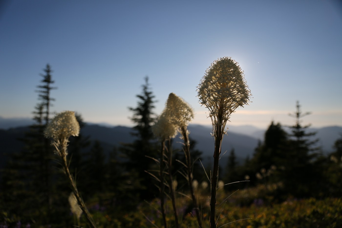
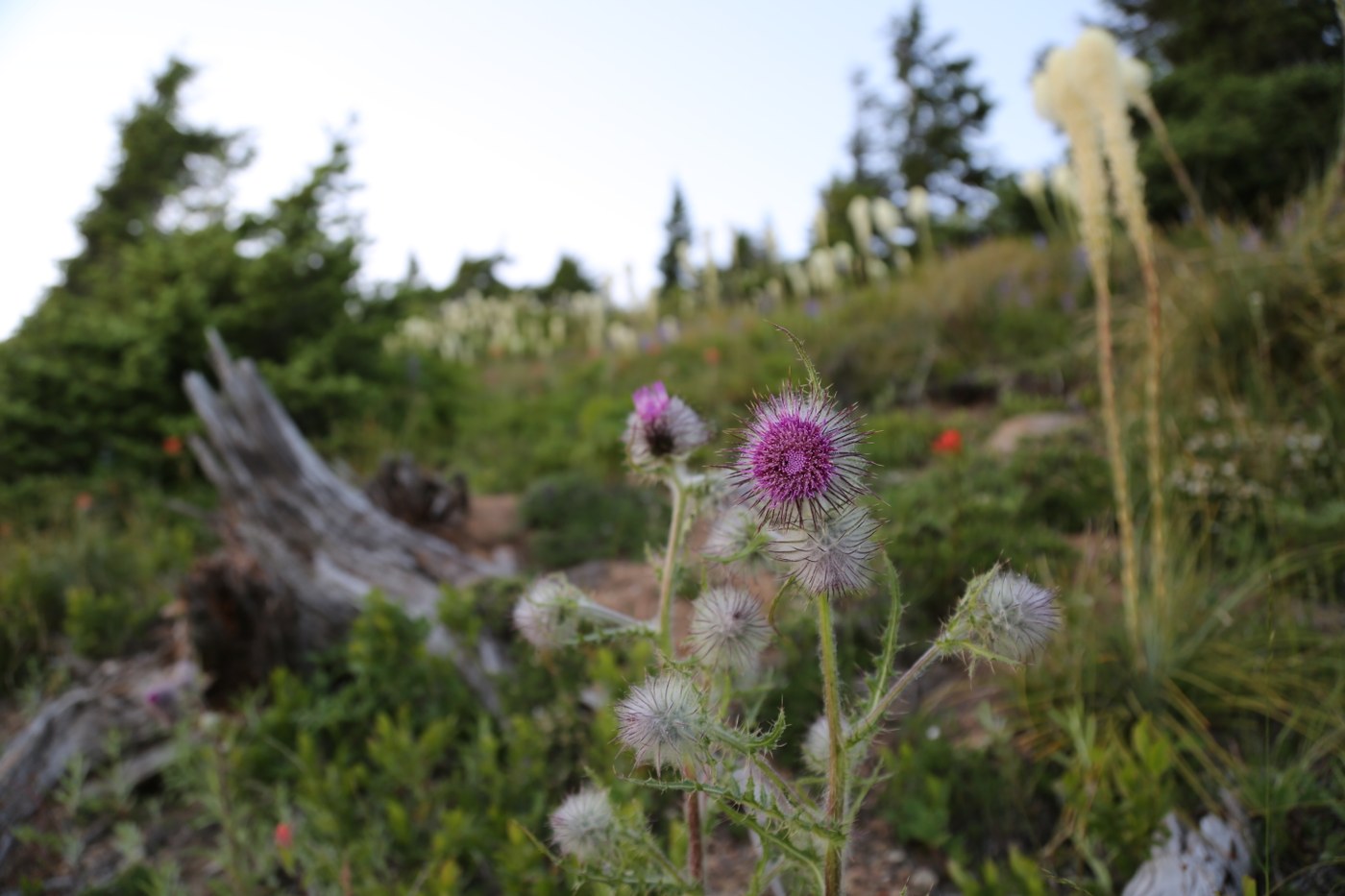
You start out by hiking around 0.75mi on an old road until the view opens up and a sharp switchback (signed with "trail" and an arrow) directs you to start going UP. This is where quite a bit of dust and loose rock can make it a bit hazardous. The scenery is amazing, though, with great rock formations and wildflowers. Somewhere about halfway up, we saw a young (baby?) marmot scurry from the path onto the nearby rock field. So. Cute. You continue switching back and forth beyond the 1-mile mark until about 1.5-miles when you reach a more open area that while still going up is no longer a bunch of switchback, but meandering in the direction of the lookout.
The lookout waits until the last moment to make its appearance, and it's a lovely sight. We signed the logbook, took in the views, snacked, and then gauged our interest in sticking around or heading out. Heading out won over, so we geared up with headlamps just in case and started back. One other couple was on the trail and we essentially shared the descent together. Right as the trail met the road, the woman slipped and re-injured her ankle. We made sure they felt okay and capable of getting back without assistance before heading to our car.
Driving back to 410, we saw one deer who trotted across our path, so it's probably best the road isn't in such great condition that you are going slowly.
A great trail I hope to revisit soon for a more extended visit!

Comments