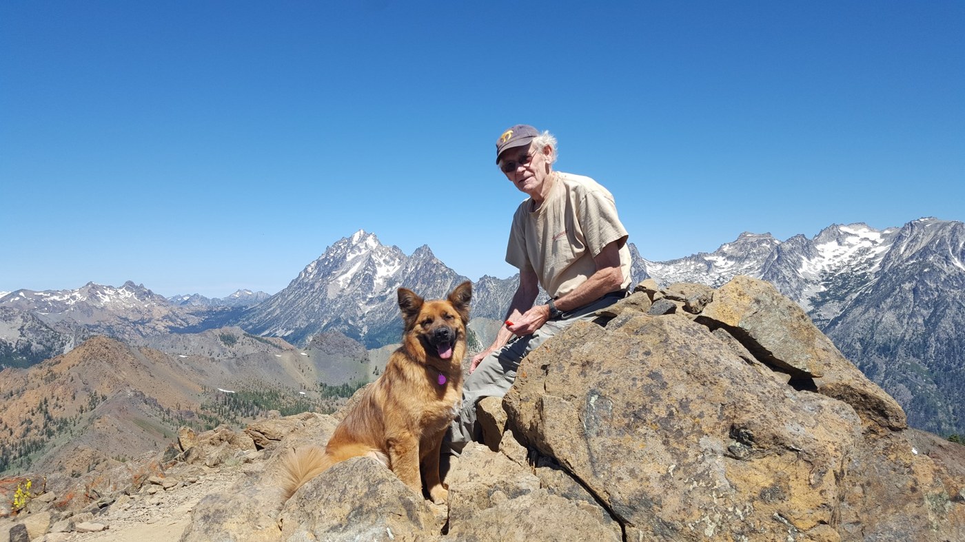
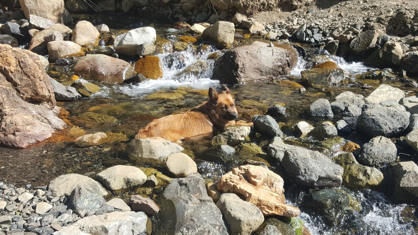
Old mountaineer and his best friend go up Earl Peak in the Teanaway.
7.5 miles RT TH about 3700’ Summit 7036’ Gain 3300’ (WTA says 3600’ )
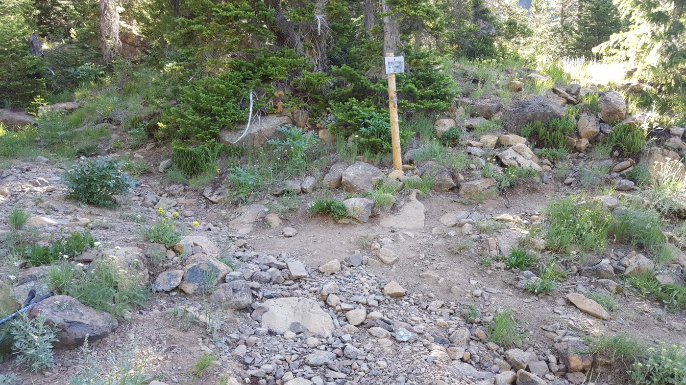
The WTA hiking guide to Earl gives no directions to the trailhead or information on the hike itself. So use the driving directions and the initial trail description in the hiking guide entry for Bean Creek Basin. That entry mentions a fork about 2 miles up the trail; this is the junction of the Bean Creek and Earl Peak trails (signed only with ‘Bean Cr. Trail’ )-- go right at this fork. The junction is about 1500’ gain from the trailhead.
About a mile and 1000’ gain up the Earl trail brings you to a wide saddle (good camping). Just turn left at the saddle and head up the well-used climbers’ track to hike your last 800’ of gain. The track is steep and gravelly and therefore slippery; my trekking poles were a huge help, especially coming down.
We were kept company on top by two kinds of small butterfly, several varieties of flying insects and the occasional large ant -- none of them biters or bothersome.
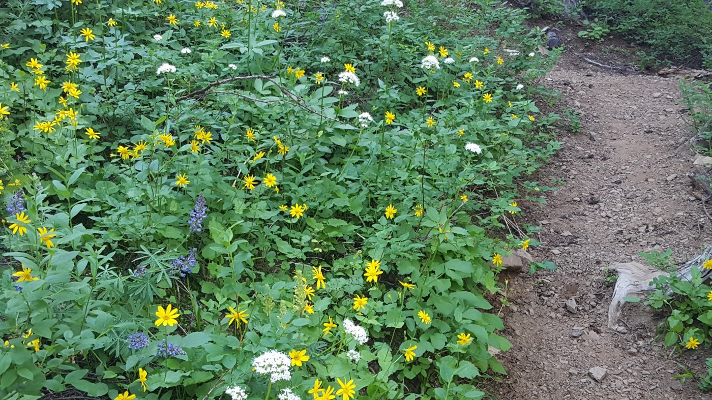
During this season the Bean Creek and Earl Peak trails should be renamed the Wildflower Trail -- flowers along the way from the trailhead to the summit. Ones that I saw included scarlet gilia buttercup yarrow fireweed cow parsnip thimbleberry wild rose lupine penstemon thistle paintbrush coltsfoot arnica fleabane phlox columbine
Saw 6 other hikers, only 1 went up Earl. A fine sweet day.


Comments