
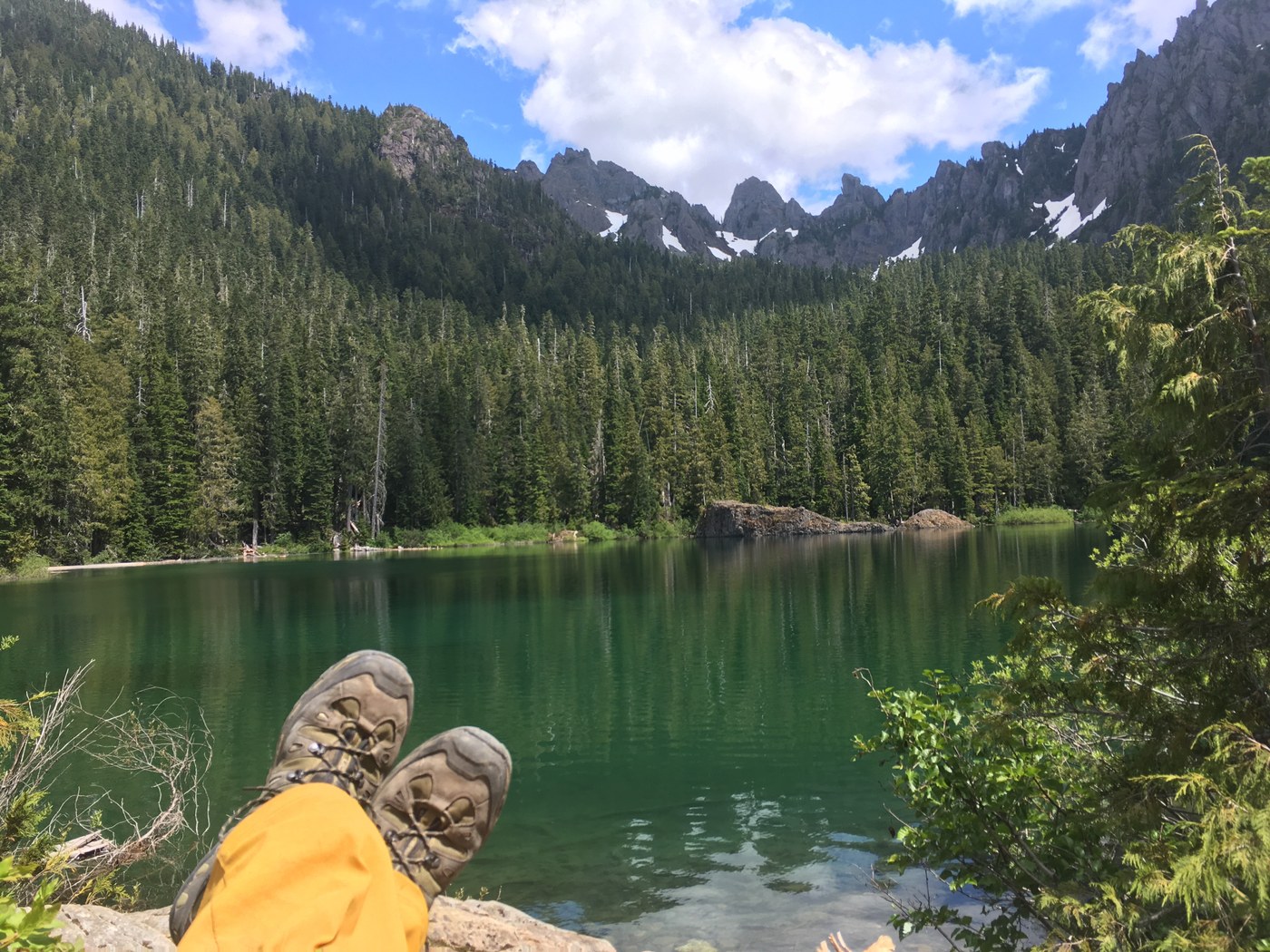
Decided to head over to the Staircase ranger station this past weekend to get a permit for camping up near Flapjack Lakes. I wasn't able to get a site at Flapjack Lakes, as they were all taken by Saturday morning, but there were some walk-in permits and I snagged one of those.
Road: Road to Staircase has a few miles of gravel. A few small potholes to watch for but passable for all vehicles. Plenty of parking at the station/trailhead.
Trail: Took the North Fork Trail to Flapjack Lakes, plenty of signage along the way to get you there, as they are a couple of forks. One pretty large blowdown about a half mile from the lakes, but just follow the route that others have taken and made into a temporary trail. Trail is snow free the entire way to Flapjack.
The Glady's Divide trail goes from Flapjack Lakes (signage at the lakes) at about 3800' to the Divide at 5000'. The trail is snow free until about the last mile, but a few snow fields maybe 100 - 300 feet long remain over the rock field near the last mile of the trail. Be careful, as there are some areas where you could punch through the snow and potentially twist an ankle or worse. I'm guessing this will disappear in the next few weeks, but bring poles and be careful. The trail ends at the sign (see picture) for the Glady's Divide. The total mileage from the Staircase Ranger station to the Glady's Divide sign is about 9 miles with 4200' of elevation gain. Definitely doable as a dayhike, but it'd be a long, arduous day.


Comments