Use the GPS coordinates to find this trailhead.
The first couple of miles are really enjoyable ups and downs as you make your way through the valley. When you're moving, the bugs bite less, but overall, bugs were absolutely terrible. I had about 20 bites up and down my leg, they were biting through my dry-fit pants. Deet was no match.
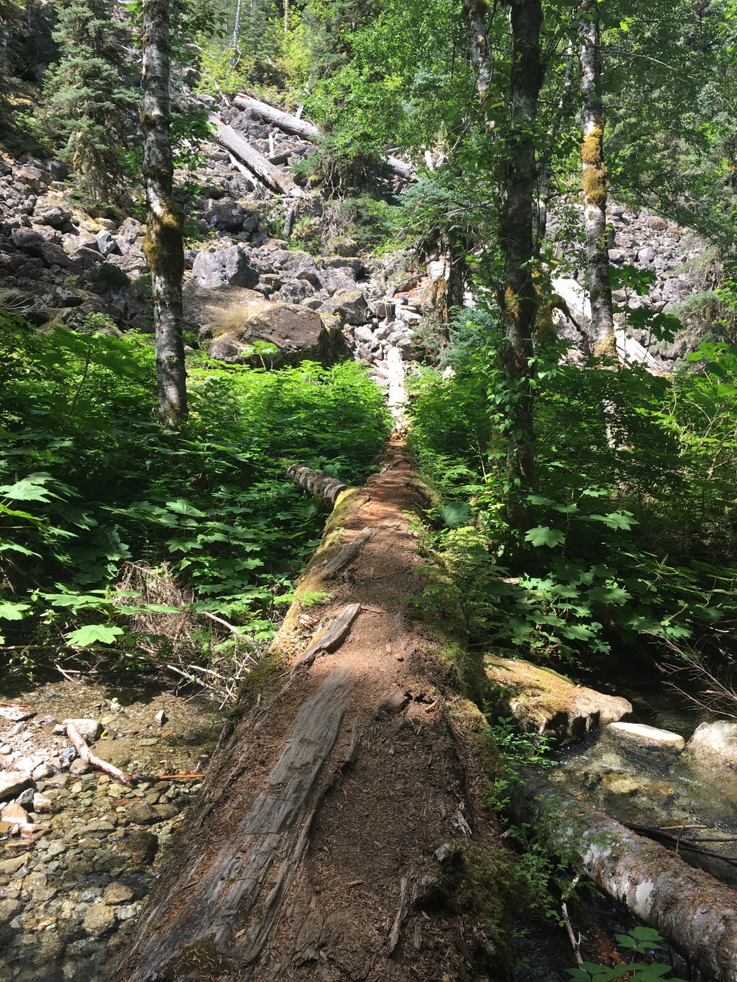
You'll cross a large creek and take a right to start scrambling up the mountain (see picture). Follow the cairns. Brace yourself, because this is the beginning of a long, long, seemingly forever long, tough hike up to the lakes (if you're quads don't have superpowers like mine). We took breaks relatively often to catch our breath, or stand in the shade when we could. But then bugs would bite us so we had to keep moving.
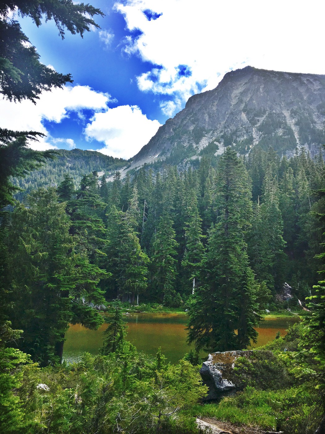
Once we got to mile 7 marker, there was still about a mile to go to the first lake. Only one camping spot (a great one, but only one) at the first lake. To get to the lake just above the first one, cross the creek, then cross the other part of the creek to find the trail on the far right of the first lake. The trail to the second lake is enjoyable, through really beautiful meadows. Lots of campsites, a cabin and a toilet are available at the lake. Tons of social trails to other lakes.
Hike down was easy of course. Later found out this hike is rated most difficult by USFS... it is not for the fainthearted, especially with a pack on!
Highway 2 has terrible traffic on Sundays, so go through Index on Avenue A, then Reiter Rd for a nice drive around the mess. You'll pop out near Gold Bar. Ended up at Route 2 Taproom in Monroe for a post hike burger and beer.


Comments