
This was a great hike for a sunny, warm late October day. The destination is spectacular, and while not a lengthy hike, it is a serious workout. You will gain well over 2,000 feet, but it is the trail conditions that add to the effort---and ultimately provide a satisfying sense of accomplishment. This is a trail that demands your near constant attention and respect---it can take you down if it doesn't get it. There are blowdowns (though only one is somewhat challenging), LOTS of roots (many wet and slippery), rocks, and mud, along with some overgrown vegetation that tries relentlessly to trip you or take your poles from you, and the trail angles oddly across a few slopes. There are relatively short, but very steep sections where you are basically using roots as a staircase. Route finding skills come in handy in a couple places. There are several places near the pass where you cross wet, mossy granite slabs with water running over them. Frost or ice here would add to the adventure, though that wasn't an issue this time.
Of note: when you step out of the forest and arrive at the huge granite slab used by rock climbers, the trail to the pass is to your right, not the left. There is a small cairn to the right, but the trail left does look like the more logical way to go. However, the trail left quickly becomes quite steep and rocky--it is for rock climbers to access some of their routes. Go right and save yourself the scary descent that you need to make once you realize you couldn't possibly be going the correct way!
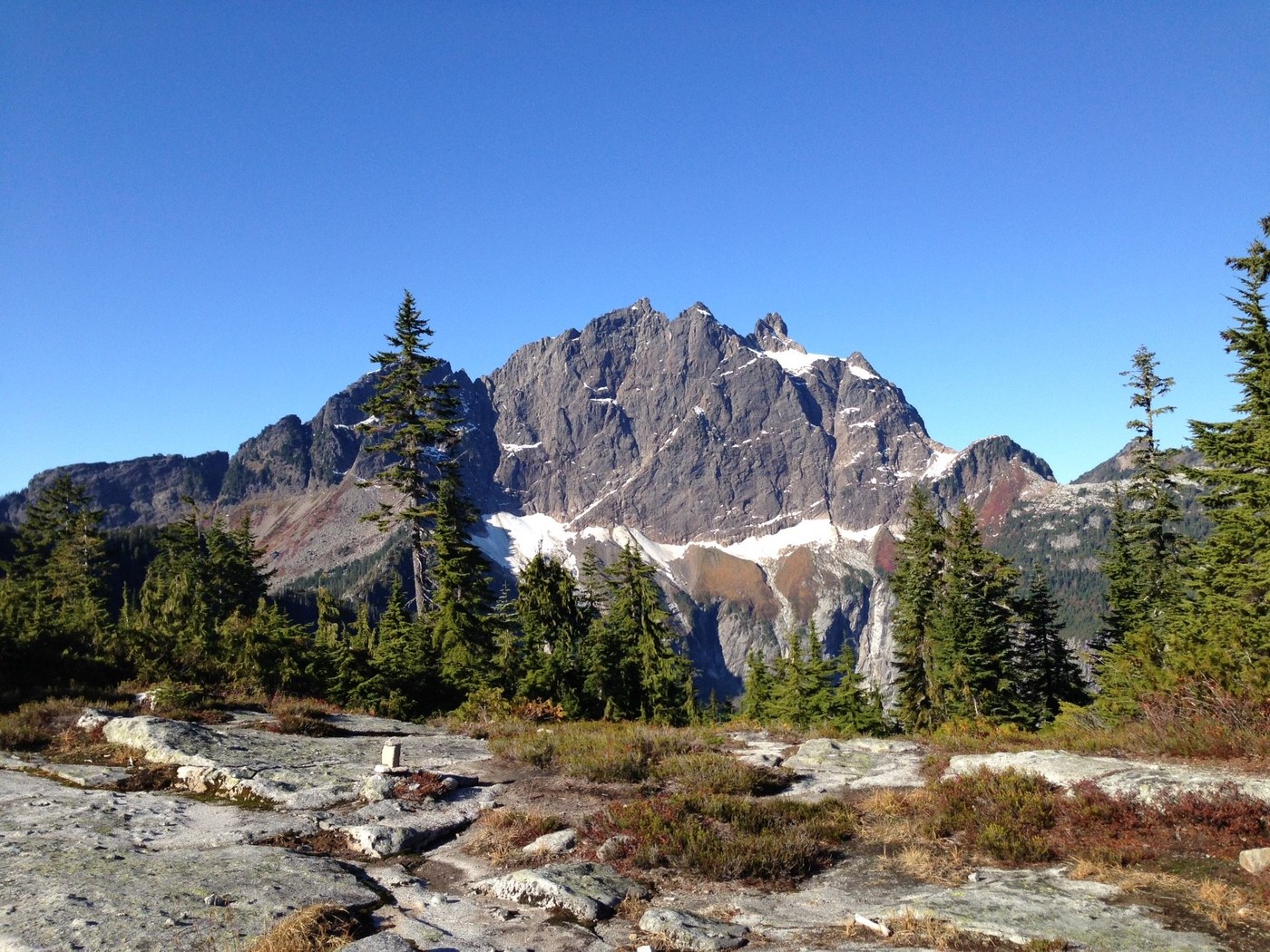
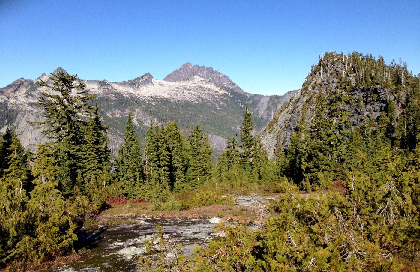
The views don't really open up significantly until you are near the pass, but the trail offers other things of interest including some massive old growth cedars just as you enter the Boulder River Wilderness, an opportunity to watch rock climbers try to ascend a steep slab of granite, and some nice waterfalls (that are a little light on water right now). Lots of room to spread out and enjoy the views at the pass and it was very pleasant to sit in the warm sun, eat lunch and soak in the scenery. For me, going down is harder than up and I was very happy to have poles with me for the descent.
About two hours up and slightly shorter coming down, though I stopped on the way down to watch rock climbers for a while. The trail was very lightly traveled, even on such a sunny weekend day. I only saw four or five groups of hikers and three rock climbing parties. I had the summit at the pass to myself for about 30 minutes. Two other cars at the trailhead when I arrived, 7 when I left.
As for the road to the trailhead from Mountain Loop Highway, I would recommend a high clearance vehicle with four wheel drive. While much of the road is in pretty good shape, there are some fairly deep potholes hiding in the sun-dappled light, some rocky sections, and a creek to cross.
Comments