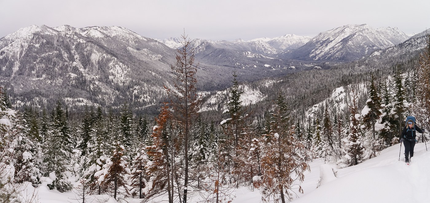
We took a trip out to see what the Jolly Mountain Fire area looked like, and to get some snowshoeing in. Salmon La Sac road was open, plowed, mostly clear, with some patches of snow and ice to MP17. We parked on the north side of the road in the Sno Park before Howson Creek and headed west into the trees.
Our attempted route was mostly along road FS 128 on the west slope of Sasse (which has been logged), and not the trail up Howson Creek. We cut a couple of the longer switchbacks through the trees, but trees are thick in places given they are post-logged young regrowth. There was not much snow, but we slogged through about a foot of fresh over the old mid-Dec. crust, which made for slow going.
We were pleasantly surprised by the relatively few down trees (was afraid we'd have to spend miles of climbing over burned snags, but that was not the case). In general, much of the burned area on west Sasse slope was not nearly as destroyed as I'd expected; many sentinels still standing, while many younger small trees had been obviously burned. We topped out in the bowl north of the ridge around 4600, and, facing fading daylight, headed back down.


Comments