
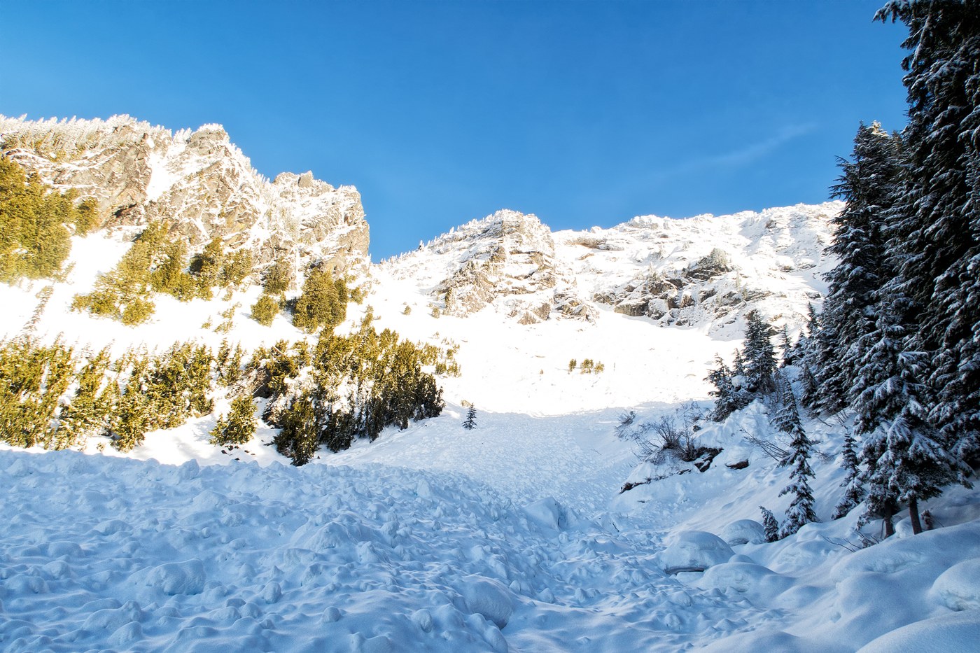
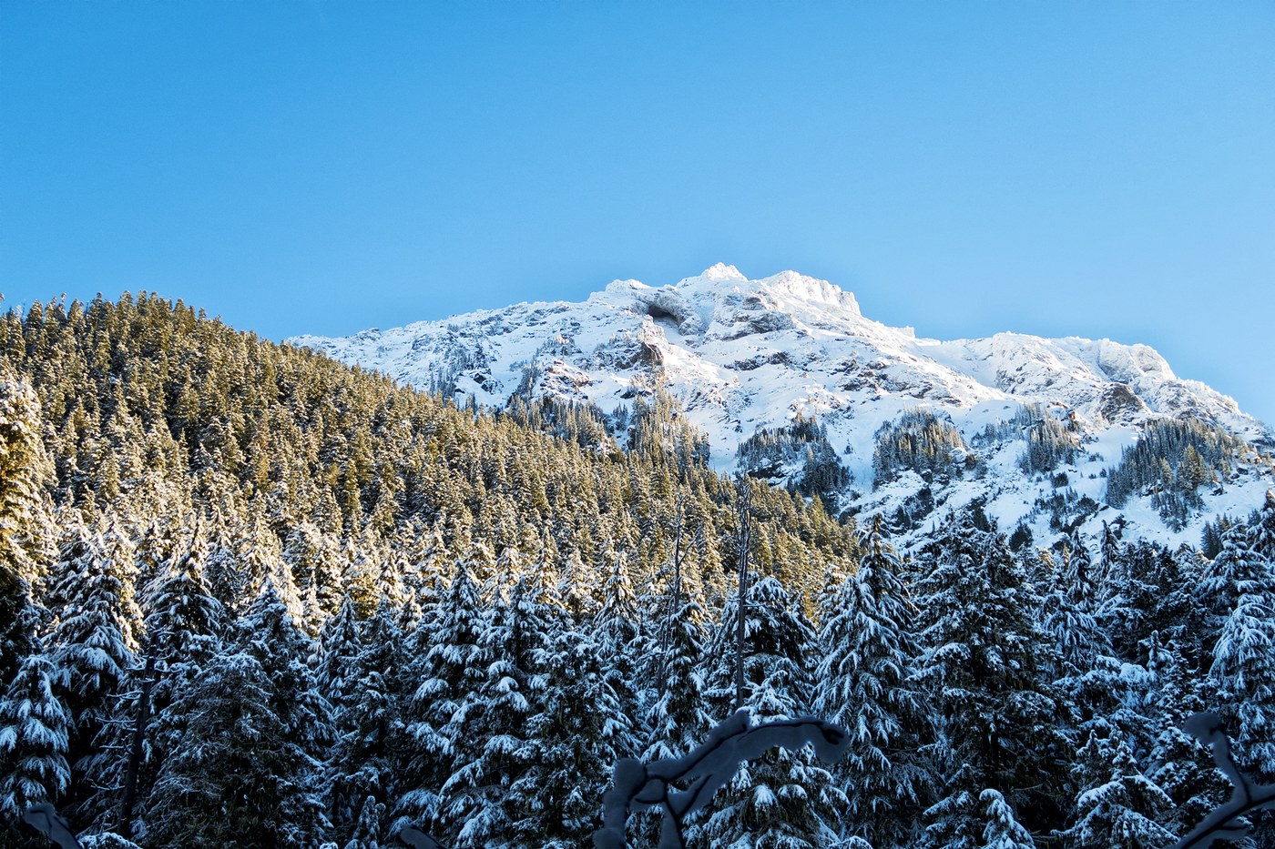
The last hike of the year may have been the best. I hiked the Mt Pugh trail up to the avalanche chute at the bottom of Stujack pass.
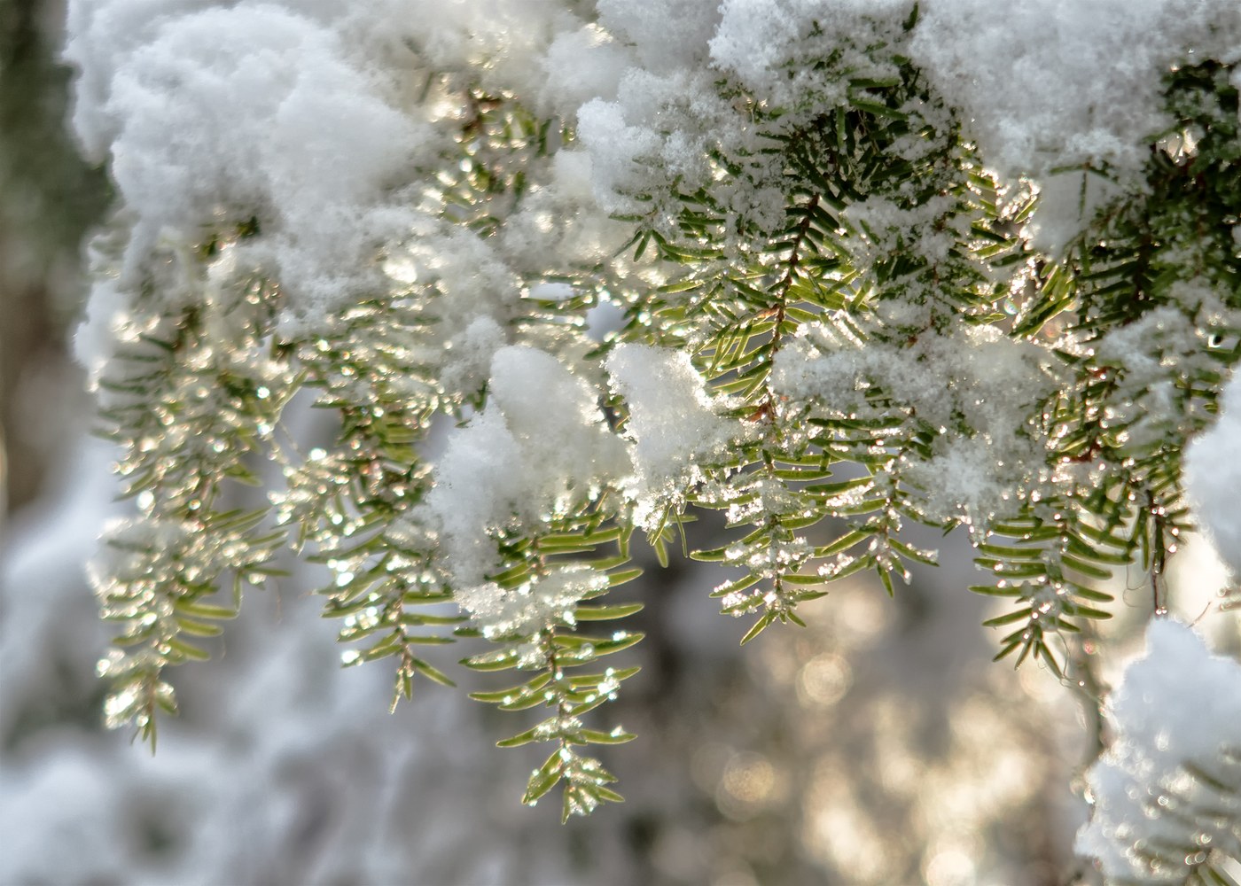
Mountain Loop Highway was entirely snow free with only occaisonal small icy patches all the way to FR-2095, which was also clear. I only saw one other truck on the MLH. You could probably get to the TH with good FrontWD compact and careful driving. The trail is damp at the TH, and there are three or four easy water crossings on the way to Lake Metan. By the time you reach Lake Metan, the snow was covering the trail but traction was not required. I put my snowshoes on at about 4300' when I was postholing up to my knees. The trail is easy to follow all the way to the boulder field; by that time, the snow is deep enough I just picked a path around the tree wells until I got to the base of the cliffs. Such a beautiful day! While it was bright and clear, I put on a rainhat and covered my pack because of all the melt coming off the trees. I saw no other hikers, but I did see several deer (also using the trail), grey jays, squirrels and rabbits.
I fixed myself a hot cup of coffee and some Chef du' Chateau d' Mont just outside the avalanche chute with a view to the mountains to the west, and watched several small avy's come off the top of the ridge in the sunshine.
It took me a little under four leisurely hours to get up there; I spent a lot of time watching the wildlife and taking photos. I cut back 2 blowdowns off the trail, and there are three others that will need a proper saw to clear. The only person I saw all day was at Lake Metan on my way back down. We chatted for a moment, she told me that the road to Rat Trap Pass has some good sized blowdowns across it.
All in all, the hike had everything I wanted from a winter hike - elevation, views, snowshoeing, wildlife and solitude. As a bonus, I got beautiful light and some beautiful pics that will look great framed on my wall.

Comments
TonyB on Mount Pugh
How did you drive to trailhead? I hiked to the ice caves last week and had to park at locked gate and hike 2.5 miles to trailhead. Did you drive from Darrington? Is the road open on that end of ML?
Posted by:
TonyB on Jan 06, 2018 10:52 AM
SomeGuy on Mount Pugh
MLH gets closed at Bedal Pass pretty early every year. Once there's some accumulation, they close the southern section of MLH past Deer Creek. The western section between Darrington and Bedal Pass stays open, but is poorly maintained - be prepared for snow, ice, blowdowns etc.
You can check the status of the roads on the MBSNF website:
https://www.fs.usda.gov/detail/mbs/conditions/?cid=STELPRDB5126323
Posted by:
SomeGuy on Jan 07, 2018 08:43 AM
SomeGuy on Mount Pugh
My bad, MLH gets closed at Barlow Pass.
Posted by:
SomeGuy on Jan 07, 2018 12:49 PM
TonyB on Mount Pugh
Thx
Posted by:
TonyB on Jan 08, 2018 05:55 AM