

We hit the trail at 8 a.m. Saturday morning and were surprised that there were already several dozen cars in the Mount Teneriffe lot. The road in was fine headed to the lot but note that the way out is undergoing major construction and pretty rough for now.
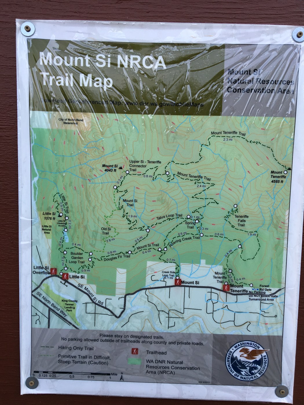
We decided to piece together several smaller trails to construct our hike, and my husband took a picture of the map at the trailhead, which we found incredibly helpful—we didn’t find anything with this amount of detail online so sharing here in case it’s helpful to others.
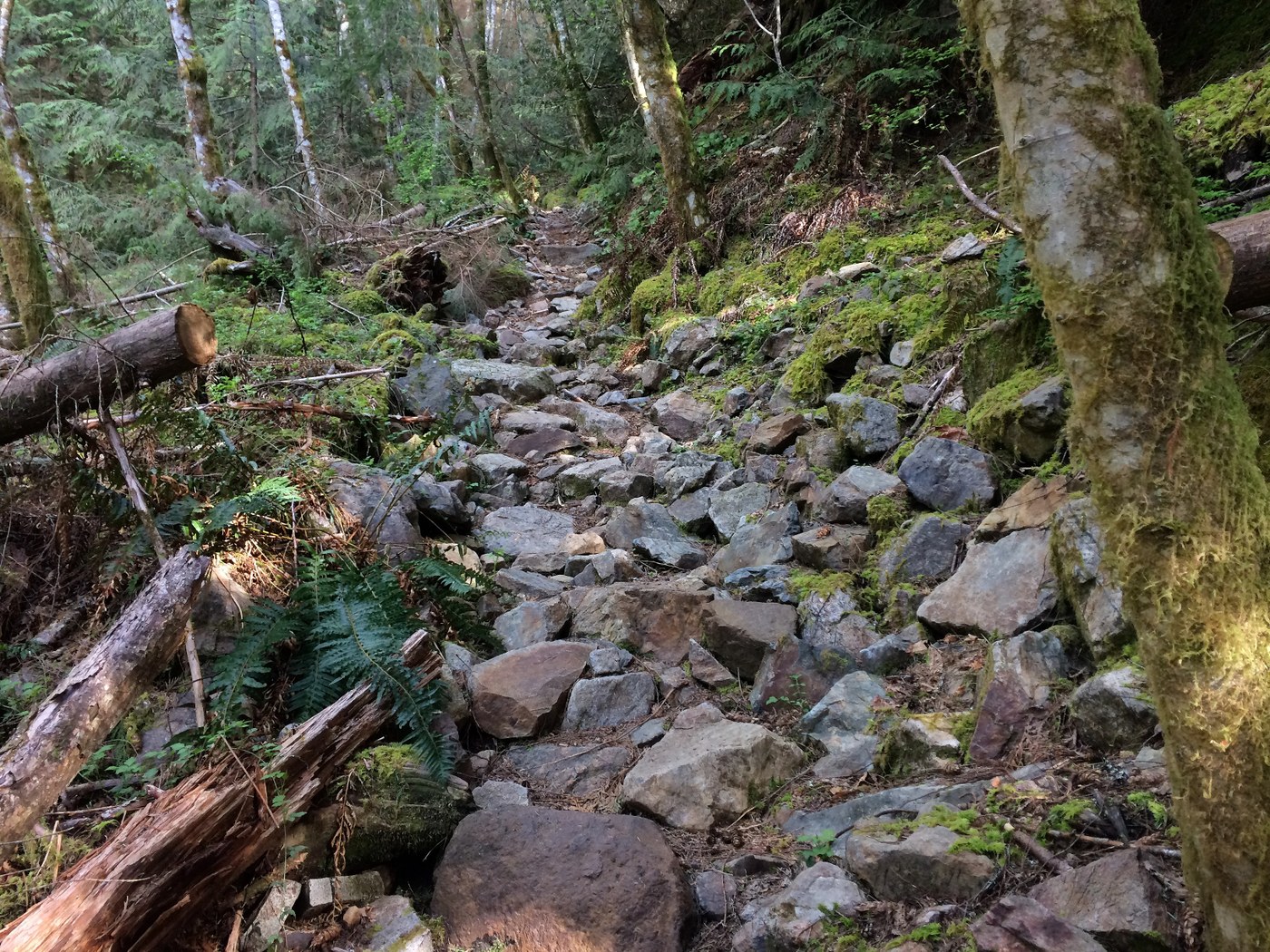
We began on the Mount Teneriffe trail and then took the upper leg of the Talus Loop Trail toward Mount Si. This is clearly a less traveled path—we didn’t encounter a single person. It was a nice, uphill climb through the woods until we reached one large section of rock that provided a wide-open view of the surrounding area. We hadn’t expected the clearing to be quite so large or to offer such great views and ended up staying a while to take some pictures and enjoy the beautiful weather.
From there we met up with the Mount Si trail and headed back downhill until we reached the Roaring Creek trail, which we used to cut back over to the Mount Teneriffe trail, making a nice loop. We only encountered one person on the Roaring Creek trail--also clearly a less popular route.
Our overall hike ended up being just under 6 miles with 1,200-foot elevation gain and took us about three hours. Really nice option if you’re looking for a reasonable workout and great views, and prefer to avoid the traffic of the busier Mount Si and Mount Teneriffe trails.

Comments