Finished my last final of junior year at UW so my partner and I headed to Necklace Valley for an overnighter. The first five miles are very pretty through the forest. Pretty flat, but there are lots of bugs and spiders. We used our poles to knock down spider webs because we kept running into them. There is also a lot of devils club and some stinging nettle so watch out.
We were planning on camping up at Jade Lake but after thinking about camping in snow and seeing how nice the campsite at five mile looked, we decided to camp there. We had a very nice camp with the river running loudly next to us. Didn't really see any wildlife, just more bugs. I left the shorts I had hiked in out in the camp overnight and when I woke up the next day, a dead mouse was in them. Not really sure what the story is behind that.
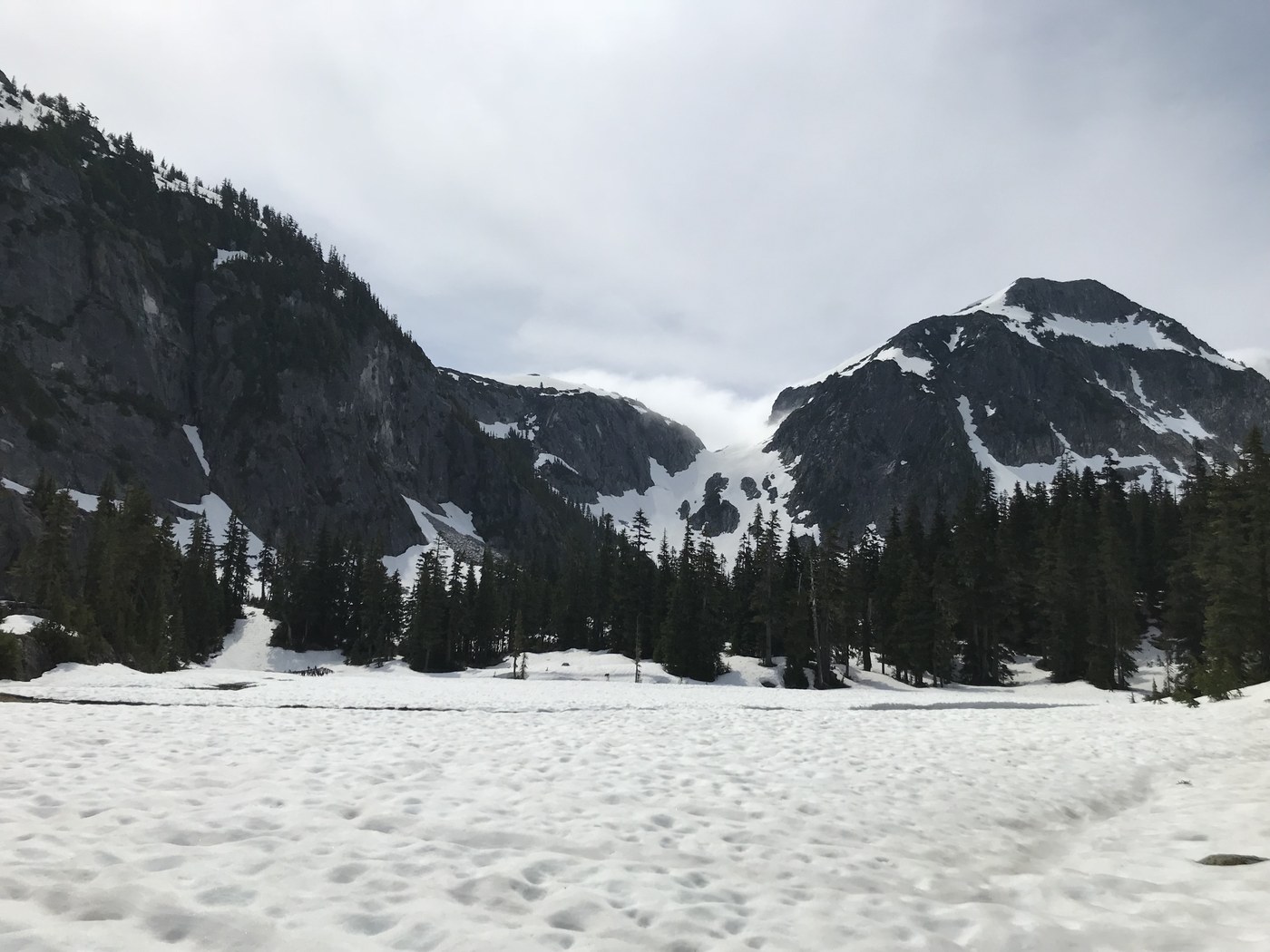
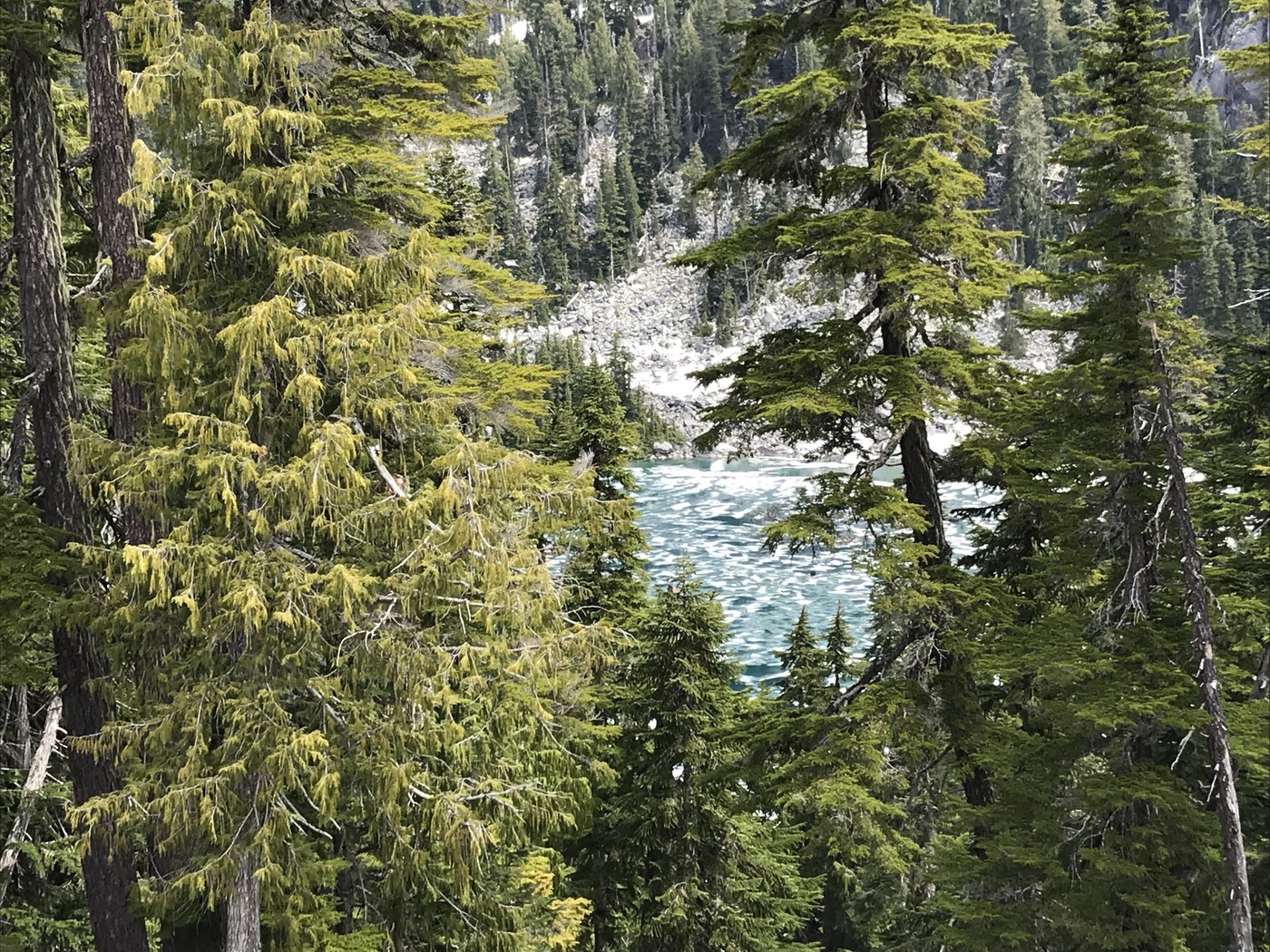
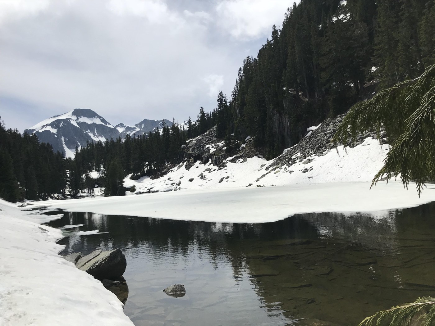
We started hiking up to the lakes at 7 am the next day. Trail is uphill for some parts but not the worst with one big tree down to walk across. It took us about three hours to get up to Jade lake which is longer than we expected but we were in no rush. The intermediate snow that starts around 3700' was very thin and soft. We really had to watch out for falling through so we kicked out a lot of chunks. Trail becomes all snow just before Jade lake. The lake is about half thawed with interesting blue/green colors and very clear. The trail goes right along the lake and in some cases even too close (ie the trail is in the lake) so we forged uphill a bit. We then continued on through more snow fields to Emerald lake and Opal lake. Both are about the same as Jade in terms of frozen. We really wanted to see if we could continue on to tank lakes but we didn't have time unfortunately. Although, with the right equipment, I see no reason why this couldn't be done. As the snow is very thin, I would be careful going across bolder fields because falling through could be painful and into crevices of an unknown depth.
We also did a bit of an off trail expedition to get a peek of Lake Ilswoot. This was probably when our college stupidity came out the most because it was kinda sketch but also we got to see it. We climbed to the top of the ridge but the actual lake is way further down and through the trees and there was no way we were climbing down there. Maybe if we had planned a better route we could have. There might have been a passable route by going between the two ridges on the other side of Emerald Lake from the trail, but going up and over is probably not a good idea because the way down is very steep as far as we could see. Ilswoot is more thawed out than the three smaller ones. It is mostly light blue with some ice chunks in it. We could only see a glimpse through the trees but it looked really pretty.
We headed back down and the sun came out for us (the snow did become softer and easier to fall through though). Very pretty vistas of mountains heading down from the valley. And the five mile hike back to the trailhead was more of the same. Overall great trip. I would love to come back later in the season when there is less snow and I have more time to explore beyond Opal lake.
I have included pics of the four lakes we saw but the google drive folder has all the pics I took


Comments
How was the river crossing? Prior trip reports said it was pretty washed out.
Posted by:
FugaBidone on Jun 12, 2018 01:58 PM
Yeah, we noticed this too (the picture in one of the last reports had it very, very high). This is why we were super surprised to find that when we crossed it was running a few feet below the bridge and was absolutely safe and easy to cross. It looked pretty normal. This means that the river height is either quite variable based on rainfall or is down for the season (but that would be surprising). Best of luck to you if you head out on the trail!
Posted by:
ChloeST97 on Jun 12, 2018 02:31 PM
I should also mention that the bank on the other side of the bridge is covered with water in the other trip report pic and when we hiked it was totally exposed/dry. We ate a snack there :) If that was covered, it would be very hard to cross.
Posted by:
ChloeST97 on Jun 12, 2018 02:33 PM