Approach
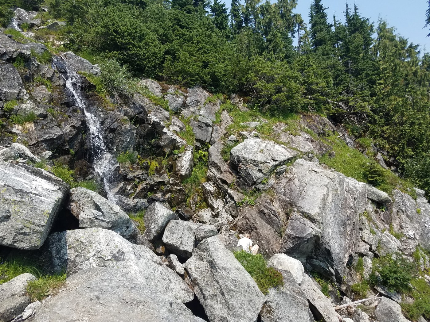
My friend Erin, and I went for a two-day approach of Eldorado peak, and we got lucky with nice weather and good trail conditions! First off, the real route-finding crux of the approach really is within the first hundred feet of the road with log crossings over the Cascade River. While there are cairns roughly marking the logs to cross, I would suggest referring to buritoburito's trip report on May 27, 2018. They have pictures and descriptions which made it so that we didn't even have to search very hard - so thank you buritoburito! Once you cross these logs, and you find the trailhead sign, the path is pretty straightforward, albeit STEEP until the boulderfeilds. Once you are at the boulderfields, the "path" isn't too straightforward, and there are cairns speckled throughout the fields. Here, there isn't really a "right" way up, you'll get to the right spot no matter which cairns you follow! We found it nicer to follow the cairn trail to the climbers right of the fields however, as this "trail" would occasionally become a dirt path every once in a while - which we appreciated! As for water sources, the first one we encountered this time of year was a waterfall at apx. 5,000 ft. which was just at the top of the boulderfields (see pic below) but after this, there was plenty of water on the rest of the approach. Getting across the ridge was pretty straightforward, with now snow this time of year, and well marked with cairns. It was at about 6,000ft. Once you are over the ridge, the "trail" is again pretty nondescript, but if you stick to the climbers right side of the area, and follow the cairns that are there, you'll be in good shape for the glacier portion. My climbing partner and I ended up camping at 6,400ft. due to it being late in the day, however this seemed to work well for us, as this put us just below the glacier with lots of water sources. The only difficulty was finding a flat spot, but after some searching we found a decent spot and slept well.
Summit
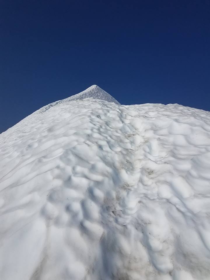
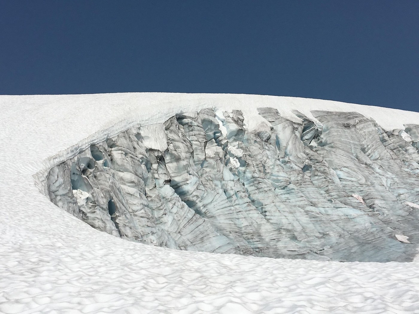
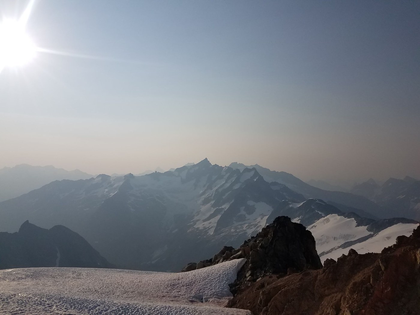
We decided that for this climb we didn't need a super early alpine start, so we got up at 4:30am and started walking just as dawn was breaking. We stuck to climbers right of the glacier, and the route was really straightforward and smooth. Nothing really notable until the ridge, where we chose to stay on snow as long as we could, and had to cross onto the rocks just below an opening crevasse. There are plenty of places to cross over. The ridge was very stable and felt very secure for both the ascent and descent. (See pic below). We brought pickets for protection, and used them mostly for peace of mind on the ridge, but really not incredibly necessary. No notable crevasse crossings either (only two little slivers before high camp).
Overall a great day in the mountains, which left us sore, tired, happy, and in awe that we live in such a beautiful state!
(Side note: I did download a GPS route from summitpost (see link below) and this was accurate and reassuring when we needed it!)


Comments