First of all, a big shout out and Thank You to the WTA work party we encountered at the Copper Creek crossing after having just descended along a beautifully maintained trail. Also, Thank You to the two gentlemen who had horse packed in all the work party gear - you were absolute trail magic when we encountered you during our final miles walking down the road to our car and provided us with cold beers and trail stories! And a final thank you to the two men who we had run into on the ridge above Marmot Pass going the opposite direction and later ran into on the road at the trail magic moment, for giving us a ride the final 2 miles or so to our car.
Ok, now the trip details:
We parked at the Dungeness River trailhead around 6:30 on Friday evening and walked the easy 3.5 miles to Camp Handy in time to set up camp and cook dinner before sun down. Camp Handy has lots of space which we were thankful for because the main area by the shelter was taken by a large group of boy scouts.
On Saturday we trekked up the gradual 3.3 miles to Boulder Camp where we topped off on water, knowing there would not be a source until Buckhorn Lake. From there we went up to Marmot Pass, with the views becoming more and more breathtaking. Also, there were still an abundance of wildflowers in bloom. Upon reaching Marmot Pass, we stopped for a snack and to take in the views. If we were to stay at Marmot Pass (or come back on another trip) the climb up to Buckhorn Mountain would probably be well worth it! We continued on toward Buckhorn lake and were astonished that the views got even better! Seriously y'all, so beautiful I almost cried. Also, we were super fortunate that the smoke had cleared and visibility was awesome! Then we descended, coming back into the forest where the split off to the lake was. This little trail was actually rockier and rougher than anything else on the whole loop. There are small campsites tucked away along the trail to the lake and a large site off to the right as you get a bit closer to the lake. There are many streams running through the area, so be responsible about where and how you relieve yourself and plan ahead for your poop spot!!!
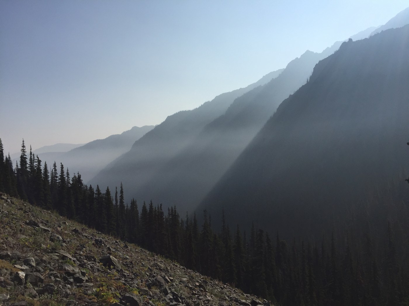
On Sunday the smoke returned and it was THICK. We made our way along the freshly maintained trail down towards the Tubal Cain Mine site and took the side trail up to the B17 crash site. The side trail was STEEP but once it flattened out, the wreckage was not too far. Also, the creek area was a hotbed of butterfly activity! After descending through the woods, the final 2.5 miles or so to the Tubal Cain trailhead was a tunnel of rhododendrons which must be absolutely spectacular earlier in the year. From the Tubal Cain trailhead, if you can't hitch a ride, it's an easy 3.7 miles downhill back to the car at the Dungeness Trailhead.


Comments