My wife Pauline has always wanted to climb Mt Shuksan. A couple of weeks ago, we were on a WTA weeklong logout in the Pasayten Wilderness that required a 16-mile hike each way to/from our camp. We figured that, after that workout, we were in as good shape as a mid-60s couple is going to get.
So we packed up for Shuksan. We decided the best route for us would be north on the Shannon Ridge trail and north on the Sulphide Glacier to the summit pyramid. As rock climbers, we had no desire to ascend the standard third-class gully up the pyramid (with other people likely above and below us). We opted instead for the next easiest choice, the low 5th-class SE ridge of the pyramid.
There's a lot of helpful information about climbing Shuksan on the Internet, including WTA trip reports and the North Cascades National Park website. I'll try to give some extra pointers here.
(1) To summit Shuksan, we needed a high camp on the Sulphide Glacier. This is a limited access area: To camp, you have to get a permit from the Nat'l Park Service. There are a limited number of groups allowed there at any given time. If you're heading north on I-5 / Rte 20, the best place to get a permit is the ranger station at Sedro Woolley. Check their website to find out what time they open ... then arrive early. Also, make contingency plans for a different climb in case the permits are all issued. (We brought enough food to sleep for two nights, not knowing in advance how long we'd be out.)
(2) We did not adequately appreciate that the Shannon Ridge trail goes up a ridge. After passing two streams in the first few minutes of hiking, we encountered no water for a number of hours until we neared the glacier. We started out with a liter apiece so we had some dry hiking. Do-able but not optimal.
(3) The trail is in great condition except for a short section where a seasonal stream (dry when we were there) has adopted the trail bed. There, the trail is in a trench with many tree roots to step over.
(4) There are a couple of nice campsites just outside (south of) the park boundary if you can't get a permit for the Sulphide Glacier. There are some tiny tarns or large puddles there that might be a source of water.
(5) After hiking north across the park boundary, the whole area becomes populated almost exclusively by mountain hemlocks, with occasional Pacific silver firs. The formerly glaciated scenery gets beautiful as you go through "the notch," a large break shown on the NPS map online.
(6) When we were there, a stream was gushing out of the bottom of the glacier. Wildflowers, ferns, and grasses grew all around the stream as it flowed downhill. Quite pretty! We refilled our water there, maybe 15 minutes before reaching the glacier.
(7) Some trip reports (on other websites) from Aug 2018 say there's no water above 6,000' at the bottom of the glacier. If so, that must have been during a cold spell. When we were on the Sulphide, there was plenty of running water at almost every elevation.
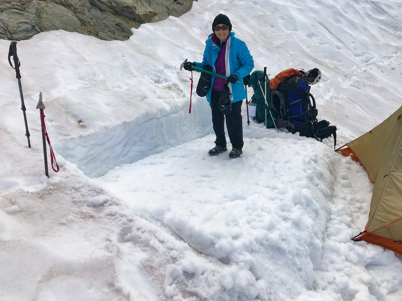
(8) To be specific, we camped on the glacier at around 6,400', a few hundred paces north the upper privy. (Exact UTM coordinates of the two privies are on the NPS map online). We found water gushing off rocks near the west side of the glacier at about a 10-minute walk north of our tent. Water=https://eur02.safelinks.protection.outlook.com/?url=https%3A%2F%2Fmaps.google.com%3Fq%3D48.8045617752232%2C-121.611177530253&data=02%7C01%7C%7C5cd7e1120e474b5144e508d60d1c4427%7C84df9e7fe9f640afb435aaaaaaaaaaaa%7C1%7C0%7C636710812426570974&sdata=PFnbt%2BpnS0u%2FleKVdkDRoAOfF5Rv3x4NcVLvADxjA48%3D&reserved=0
The flow was robust in the afternoon. We filled collapsible containers when we made camp, not knowing if water would be flowing the next morning.
Skipping ahead, under sunny skies, we found water here and there higher up on the glacier flowing over about 25% of the rock outcroppings sticking out. We didn't expect this, so we carried 3 liters each for the climbing day and that was sufficient without refilling.
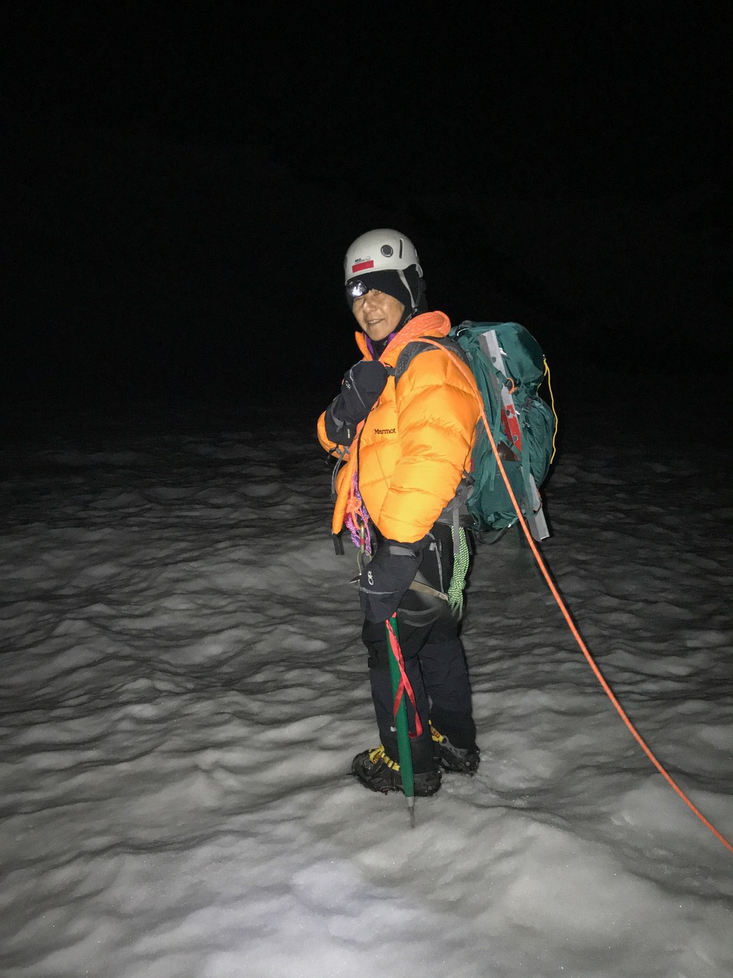
(9) We're not fast anymore, up or down. We woke up early and headed upward with crampons and headlamps at 4am. Climbing in late August, I assumed we'd encounter (a) bare icy patches, and (b) numerous crevasses. We didn't. There was ice here and there but we could easily avoid it. And higher up, going up the west side of the glacier, there were a small number of crevasses that we could either avoid or jump over or cross on snow bridges. (The farther east on the glacier you get, the more crevasses there are until it becomes impassable.) We wore full crevasse rescue gear but fortunately had no use for it.
(10) Teams of younger people occasionally caught up with and passed us. Wow young people are fast!
(11) Where the glacier meets the summit pyramid, we assumed as usual that there would be a potentially difficult bergschrund. There wasn't. We doffed our glacier gear and most of our baggage and cached it in a stable spot. Then we donned our rock gear.
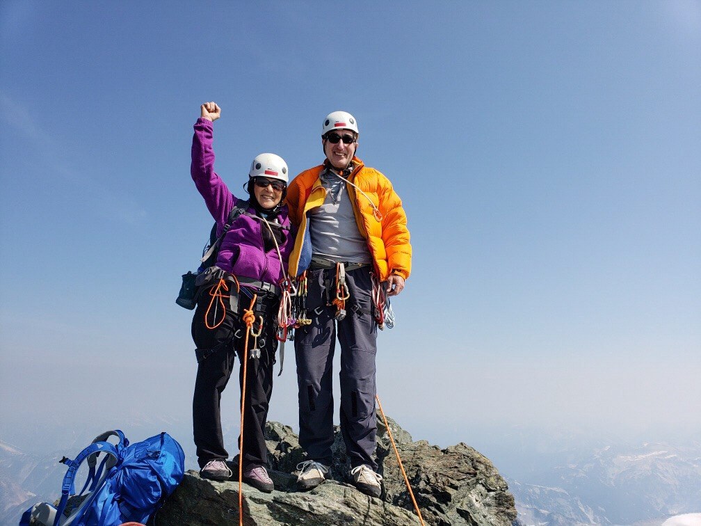
(12) We had a light alpine rack of 6 small-to-mid sized pieces of protection. We also had several single and two quad-sized dyneema runners. We brought one 7mm x 60m rope. And rock shoes. After scrambling up to the SE ridge of the summit pyramid, the route to the top is straightforward: Just follow the ridge with its ups and downs. If I were to do it again, I'd probably bring less pro or no pro except for a couple of quad-sized runners. The only protection I placed was to show the direction I took, plus looping some rock for belays.
(13) If you want to know what it feels like on the summit, just go there. :)
(14) On the way down the pyramid, we did one short-ish rappel and then ran into a backlog of a guided group of 11. We bypassed them by simply walking the rest of the way down the rock, not on their rappel route.
(15) After switching back to our glacier gear, we found running water on the rocks to our left, just 50' below where we began our descent. We slowly headed down to our camp at 6,400'. Meanwhile, the younger people all passed us again, going twice our speed. I think we were first out of our tent in the morning and last into our tent in the evening. We were beat and didn't even consider hiking down to the car that evening, which some other people did. Two nights on the Sulphide for us. We couldn't beat the view!


Comments
HusbandWifePuppy on Mount Shuksan, Shannon Ridge
Super helpful, thank you!
Posted by:
WifeHusbandPuppy on Aug 31, 2018 06:44 PM