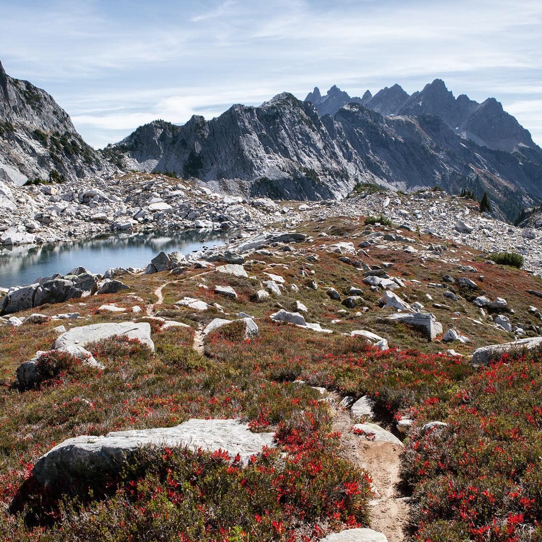
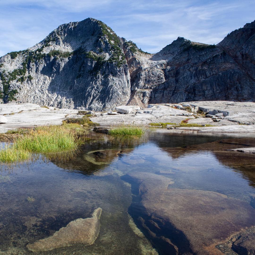
Ambitious loop hike planned, starting from Necklace Valley, around Iron Cap Mountain and down all the way to the West Fork Foss Lake Trailhead. A bicycle, which I dropped off at W Fork Foss TH, would be my connection between the trails. There were a handful of cars in each parking lot and spoke with one man who was going to stay at La Bohn that night. Hit the trail at 6:50 AM. Just under 700 feet gained in the first 5 miles, then nearly 2500 feet elevation in 3 miles before finally reaching the first of many lakes: Jade Lake. Nice and peaceful with a nice view of La Bohn Peak. Spooked a young black bear snacking on berries by the trail after Jade, just prior to passing the rustic Necklace Cabin, built in 1950. This area was beautiful - fall colors and interesting trails to explore. Hiked to an overlook to see Al Lake, then moved on to Emerald and Opal Lakes. Waved at two guys camping in a nice place between Opal and Cloudy Lakes.
The way to La Bohn Lakes: When you reach the valley opening below La Bohn Peak, stay left after the vegetation and head toward the waterfall. Follow cairns to the right of the waterfall, which will lead you up a very steep fisherman’s trail. When you reach the top, enjoy stunning views and an area that some, including me, say reminds them of a mini Enchantments area. Enjoyable hiking on the benches up here. Looked down on Chain Lakes before deciding to descend down the steep talus of La Bohn gap. Not for the inexperienced and there are lots of ways to skirt around La Bohn Peak base and enter the wide-open, trail-less Tank/Foehn Lakes area...a choose-your-own adventure type of area. The southern-most Tank Lakes offer the best views of Summit Chief, Chimney Rock, and Overcoat Peak across the valley...and is the last stop before crossing over toward Iron Cap Mountain.
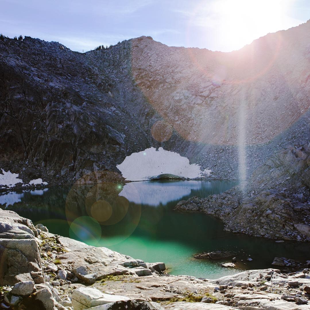
There are some promising detailed routes that I won’t get in to, but just know that it takes longer than you think to cross this area and great route-finding skills. I was able to get to Iron Cap Lake by staying around 5600-5800 feet elevation on the N/NE side, but even this probably wasn’t ideal. Iron Cap Lake was a beautiful turquoise color and is a must-see, from above or below. Unfortunately, everything after this point is where my adventure gets a bit dicey. I made a critical mistake of getting sucked down way too low and was funneled into some of the lake basins. Intense elevation change and found myself in many precarious situations. By this time it was early evening, and I was having to scramble my way out of my mistakes. There was plenty of water available and I had plenty of food, light and energy, thanks to the “fight or flight” adrenaline. The struggle continued as darkness set in and my phone died as did my source of GPS - 17.82 miles by Azurite Lake. I then had to rely on my print maps and headlamp to hike throughout the night and morning all the way back to the West Fork Foss Lake Trailhead - an estimated 13 miles/10 hours later. Rode my bicycle and finally arrived at my vehicle - an unreal sight. Drove and was FINALLY able to notify my distraught wife at 6:45 AM, 24 hours later :( This went down as an adventure that I want to remember and forget, all at the same time. Let my mistakes be a reminder to always be prepared with the 10 essentials, to keep your wits about you and take extra time to plan your route and review often along the way. I’m humbled by my experience and happy to be standing upright still. Safe hiking everyone!


Comments