
Some unexpectedly nice, late-season weather and Mountain Views that I can’t even begin to find words to describe made this a memorable and breathtaking hike!
Got to the trailhead right around 8:00 as 3 or 4 other cars were pulling in. The trailhead was very intuitive to find; like some of the other reports say, parking on both sides of 410, four miles in (south) from the wooden entry arch. Between mile marker 61 and 62 if you’re looking for those.
Right off the bat you come across a pretty cool log bridge with a creek. By my Fitbit, the junction for Crystal Lakes trail came right at the two mile mark. Those first two miles are fairly steep and consistent. There really wasn’t any leveling off or breaks from the incline. A little over a mile in, there was a cool boardwalk/footbridge that someone had built a cairn on. I always love seeing things like that.
At the junction, I kept right and there was a slight elevation loss but it was short lived. After you cross another creek with a log bridge, you’re climbing again and it doesn’t stop until you reach the summit. My calves and hamstrings cursed me on the way up, and me knees cursed me on the way down...but that view at the summit makes every step worthwhile, in my opinion.
Shorty after the second log bridge, the trail opens up into a rock slope and I found this to be a great place to sit on the makeshift wall and take in some fluids. This area is short, and quickly you’re right back in the forest and still climbing....climbing...climbing.
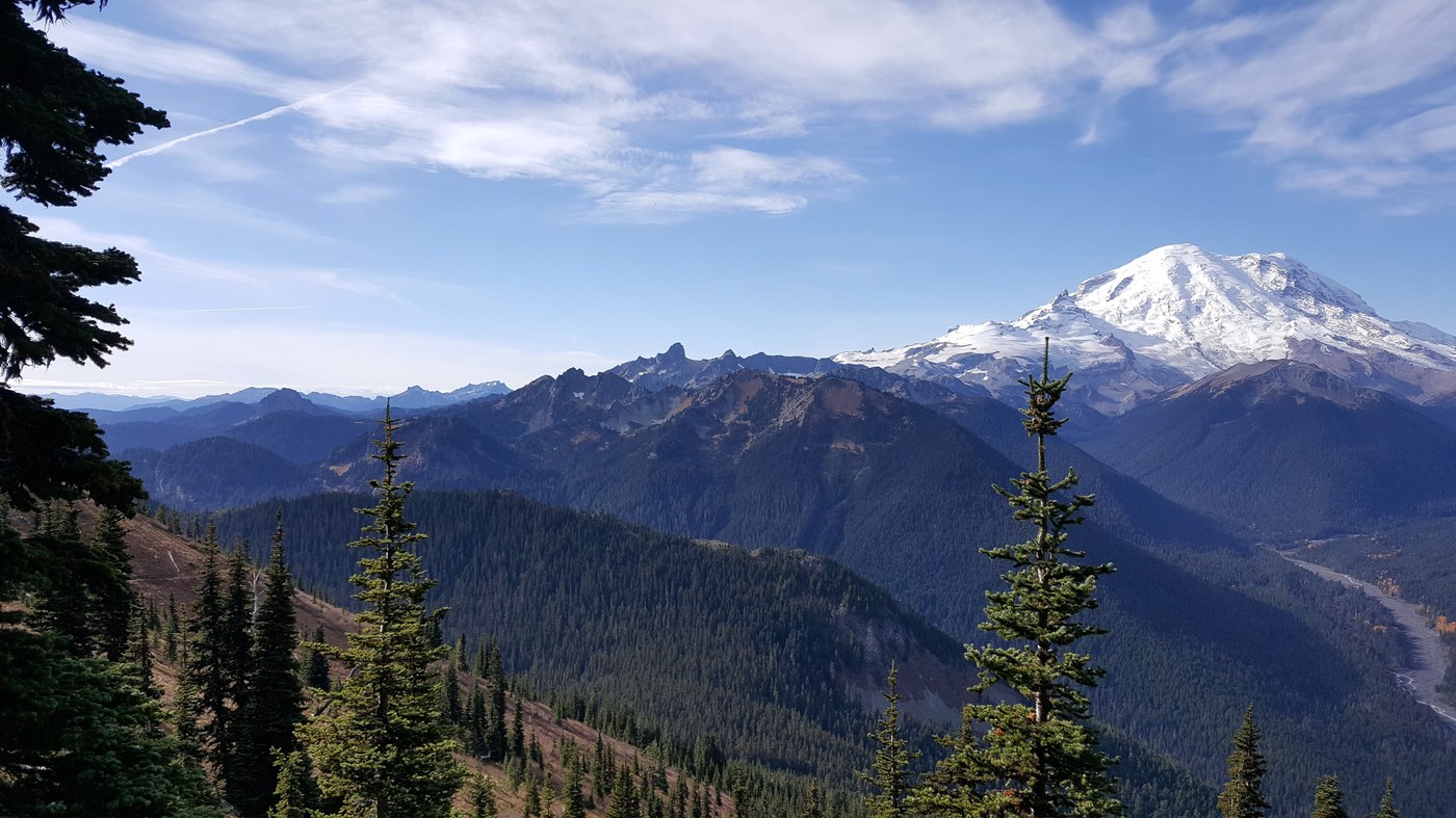
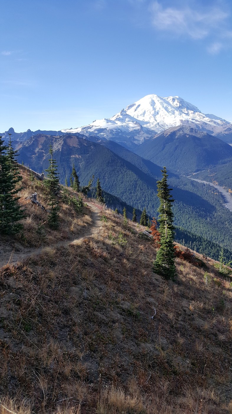
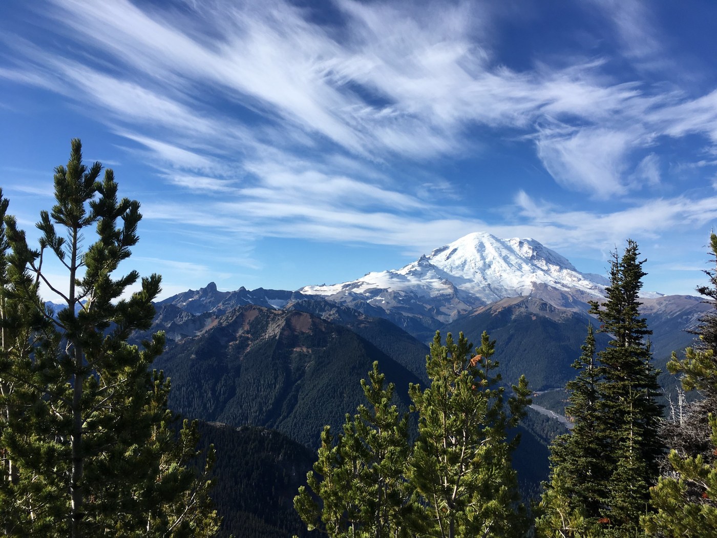
Around the 2.5-3.0 mile mark, the trees noticeably get thinner and the ground cover appears more abundant. The view to Rainier off to your right in stunning. Eventually for the last mile or so you’re walking through meadow type of vegetation and the views of Rainier and the Valley are non-stop. Hard as I tried, I couldn’t help but to just stop and stare (and catch my breath) every 5 or 10 minutes.
By my device, the end of the trail was 5 miles. That’s probably more than it really is. Most things I’ve read say 4 miles. Either way, you’ll come to a beautiful area of stone outcrops and see some old footings from a lookout tower that used to occupy the area. Stunning views, all the way into Oregon, from here. I could see Mt. Hood and St. Helens easily. Off to your right, there is another small, steep trail that will take you a bit higher to the true summit. It’s mostly rock, and easy enough to navigate. Very short too...maybe a couple hundred feet.
It was cold up there; the ground was frozen and despite the steep climb I was never tempted to take my jacket off. A little windy too, but it felt nice. On the way back down, that’s when the never ending descent really got to my knees. No traverse’s or anything to break it up. Total time to the top, for me, was just over 3 hours and I made it back down in 2 hours. This hike quickly became one of my faves, and I will definitely be back for more, and to explore the lake trail also.

Comments
Jeno on Crystal Peak
Great photos!
Posted by:
Jeno on Oct 29, 2018 11:38 AM