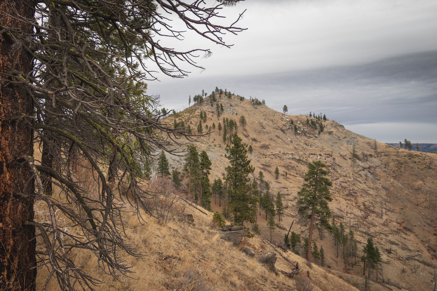
Quick-and-dirty version
Access: Swakane Road/NF-5215 at mile 2.8Round trip: 4.7 milesElevation Range: 1,460′-4,297′Gear: none
Approach
- Northbound scramble on Southwest rib to 4,000'.
- Northeastbound road walk to west saddle.
- West ridge scramble to summit.
Highlights
- Fall foliage
- Views to Columbia River Basin and City of Wenatchee
- Expansive views to Waterville Plateau
- Rain free
- Solitude
Lowlights
- Sounds of target shooting in lower elevations
- Summit wind gusts


Comments