With a bit of a chest cold and a sketchy forecast for the mountains, we decided to explore Lord Hill today. After a delicious breakfast at the Maltby Café, we drove up and around to the parking lot on the north side of the park, off 127th Ave SE. Take advice from the WTA Pro Tip in the description and print yourself some maps from the Snohomish County website beforehand. We brought along the primary trail map with its messy spiderweb of trails, as well as the simpler-but-less-complete Trail Mileage map. I also had my GPS with me, which was a big help exploring around and searching for views.
We decided to turn right at the first intersection after the boardwalks, unlike most hikers/walkers, and go by the equestrian entrance and onto the Main Trail. From here we took the first right onto the West View trail, hoping that with names like West View Loops, Devil's Butte, and a listed View Point ahead we'd find some views. Unfortunately, whatever views once existed on this side of the park are now blocked by trees, even in late November with bare branches.
Staying straight at the intersection with the Devil's Butte Trail, continuing west, brought us to what's listed as South Loop on the trail map or Loop Trail on the mileage map. We turned right to take the lesser trail around the South Loop. It winds along a hillside and gives glimpses to a pond below to the north (outlined with a thin, blue line on the trail map), and then eventually leads to the designated View Point 650' on the mileage map, which appears as just a little spur on the main trail map. Here there is a bench, picnic table, and what may have once been nice views, but all directions are now blocked by trees with just some peekaboo sights between.
From here we wound north to the West Loop, taking the route left around the loop, the path signed for horses at the junction rather than the bicycle-signed path to the right. While wandering through this area, we encountered a couple other hikers who asked if we'd found the viewpoint. We told them about the spot with a picnic table and bench, but they described some location they'd found on a prior visit where the trail drops down and leads to a large rock that you can climb on top for great views with a sheer drop below. This sounded intriguing, and I thought maybe it was at the end of one of the dead-end spur trails shown leaving the park off the North Loop on the main trail map, so we headed left on the North Loop, zig-zagging toward those spurs.
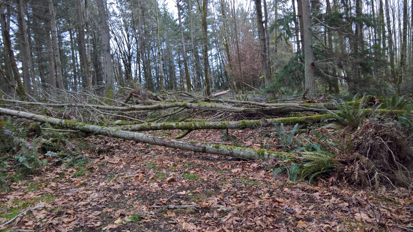
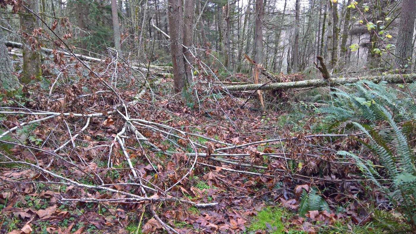
We found the side trail heading off that would take us to the spurs but people had laid a pile of branches across it and tried to disguise it as much as possible. There was a faint footpath to the left, so we followed that around the blockage and reconnected briefly with the old trail, only to then see why people had blocked off the start of this path: a massive blowdown of trees completely smothered the trail ahead. Enter my GPS! Thanks to having a constant view from above on my little Garmin, we were able to work our way around the blowdown and venture out to the north spur. It ended on the shoulder of a hill, but with no views, and several boot paths descending further down the hillside in different directions. We decided there wouldn't be any views further down so we headed back to the blowdown, climbing over some trees and connecting with the south spur. This led steeply down, getting us excited that maybe we'd found the path the other hikers described. But then our excitement was extinguished when it ended at private property and a No Trespassing sign. There was a little flat area just beyond the sign that had a bit of an overlook of the valley below, but no real views because once again there were tall trees in the way.
After our search ended in disappointment, we climbed back up and around the blowdowns and returned to the main Devil's Butte trail. We followed this east where it descends and goes past the pond we'd seen from above earlier on the South Loop. By now it was getting late so we circled south along Devil's Butte trail back to the West View trail and retraced our route to the car. The search for views never succeeded, but we did manage to spend hours enjoying the beautiful forest and photographing all sorts of neat trees, plants, fungi, and water, making for a great, low-key day.


Comments
Muledeer on Lord Hill Regional Park
Welcome to Lord Hill...now get lost! Truly this should be the entrance sign! You haven't really hiked Lord Hill until you can say you have gotten lost,turned around, off trail or taken the scenic route. We actually FOUND that viewpoint getting 'off trail' on the Midway. Last time we did what you did and never did find the viewpoint. I couldn't tell you where it is, but there is actually a bench and nice view of Mt Rainier. Lord Hill Bandit has great trip reports on Lord Hill trails
Posted by:
Muledeer on Nov 26, 2018 01:22 PM
Thanks for the tip!
Thank you, I'll definitely check out Lord Hill Bandit's reports before my next trip up there, and maybe explore off-trail along Midway ;)
While the West View Loops seem to have lost their views to growing trees, at least we can be happy the forest is thriving!
Posted by:
Wilderness Photographer on Nov 26, 2018 02:26 PM
LordHillBandit on Lord Hill Regional Park
I rarely go to the West View Loop area, as it's the least interesting in the Park. But you're right - there hasn't been a "view" there for quite some time. The real Viewpoint is the one shown in the center of the Park map. (It's worth the trouble to find.)
The blowdowns and blockages were done on purpose to keep hikers from straying onto private property on the NW boundary. There used to be a maze of unofficial trails there, but nothing interesting.
Sorry about your adventure. Your first mistake was turning right instead of left at the boardwalks...
Posted by:
LordHillBandit on Nov 27, 2018 08:39 AM
Communication Towers
While we explored the West View Loops area, we spotted two radio towers with satellite dishes on a separate hill. It appears some small paths on the official Trail Map go in their direction. Are any views to be had up there, or are the hilltops with communication towers completely surrounded by tall trees as well? With so many different sections, Lord Hill is worth lots of return trips!
Posted by:
Wilderness Photographer on Nov 27, 2018 06:33 PM
viewpoint
So THAT'S where we ended up! Looking at the map, that makes a lot of sense now. We lost the Midway around the viewpoint area and ended up with the bushwhack up there. We ended up at the radio tower last time, no views, but we did see a deer.
Posted by:
Muledeer on Nov 27, 2018 06:38 PM
LordHillBandit on Lord Hill Regional Park
Here's a tip for both of you - an easy way to find the Midway from the boardwalks :
At the end of the boardwalks, take a left at the "T". (ignore the kiosk map) At 75 yds. take a right on Waynes World. (unmarked trail, with signpost "no bikes/horses") At another 75yds, the trail skirts left around a wet area, and just past this, it "Y"s at a tree.
A right will continue on Waynes World, and will hit the Main Trail at the intersection with the West View Trail. A left will put you on the Midway. (Look for the green hiking symbol on a tree.)
If you stay on the Midway, and directly cross all other trails, you will end up clear at the Southend by the beaver pond and Quarry Bowl. Halfway there, you will pass just east of the Viewpoint. It basically parallels the Pipeline, but is a lot nicer walk.
Other good choices are Ear Therapy (short), Red Barn, Temple Pond, and Riverview (with a scenic spot above the river). Some good bike trails are Liquid Bread, Springboard, and Second Spring - watch for bikes.
If you can find all those, report back and I've got some more...
Posted by:
LordHillBandit on Nov 28, 2018 06:31 PM
trails
Thanks Bandit, I just printed your directions to take next time I head over to Lets Get Lost Park
Posted by:
Muledeer on Nov 28, 2018 07:20 PM