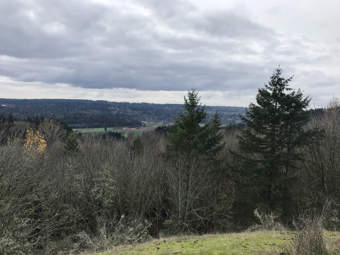
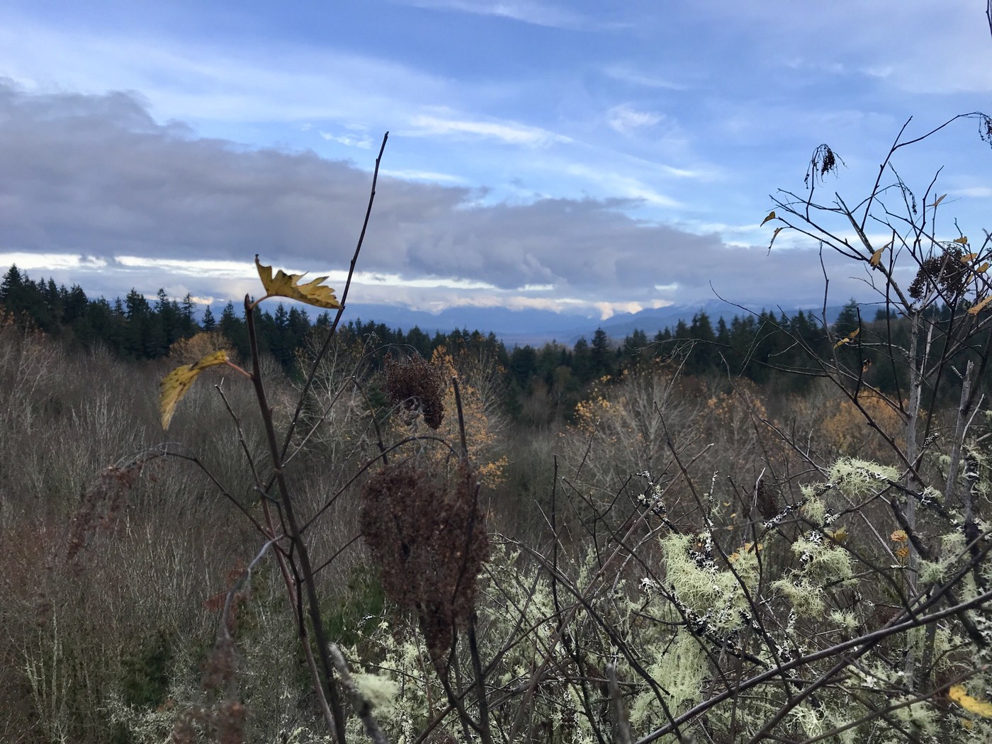
Got a late start so opted to go for a snow-free hike with the dog on a low-land winter trail. Had heard of the park so decided to give it a try. As per other trip reports, found that the TH map can be confusing. Ended up using the Gaia app which was much easier to follow (and showed us where we went wrong!) Started at the northern TH which was quite full when we arrived. Lovely saunter through the woods. Took a wrong turn and ended up missing Beaver Lake, although Gaia indicated that we were very close to the western side, just that bush-whacking through the grass was not what we wanted to do when there were other things to see. Walk to English pond was pretty, expected to see thatched houses nearby! Met a nearby homeowner who was clearing a tree that had come down on the the trail the previous evening. Sauntered around Temple Pond then headed to the Snohomish River to take a peek. Wanted to get a view so headed up Liquid Bread trail (who comes up with these names?) to the Pipeline Cutoff Trail and the view point just off of this trail. There is a clearing with a bench and a nice view facing west but make sure to take the tiny trail loop and see the view on the eastern side. It was starting to get dark so we took the Main trail and Ewe Tube (!) to head back to the TH. Easy walk on a pretty November day. Highly recommend using the Gaia map to see where you are going, or just let your feet take you on an adventure!
Trip Report
Lord Hill Regional Park — Saturday, Nov. 24, 2018
 Puget Sound and Islands > Seattle-Tacoma Area


Comments
LordHillBandit on Lord Hill Regional Park
From English Pond to the river via the Viewpoint - you pretty much did the Grand Tour! There's a big grassy bowl at the Southend, but you hit most of the highlights.
Beaver Lake is not so much now. (see my report on 4/20.) And the funny names are usually the bike trails. Must be a biker thing...
Posted by:
LordHillBandit on Nov 27, 2018 07:53 AM