The road: Plowed to the Tonga Ridge junction. Beyond there it is compact snow, icy tire tracks with a high lump of snow in the middle. We made it in a 4runner, my Subaru would have high centered and not made it. Once past the junction with road 6830, the packed tread worsened and we opted to park at this junction and walk the last ~.75 miles or so to the trailhead. There are snowmobile tracks and the road was more packed when we returned on Sunday so with high clearance you may be able to reach the TH now.
We set off on Saturday morning hoping to reach Mount Hinman (ambitious), or at least check out La Bohn Gap to see how we felt about potential wind slab avalanche danger. Our party included snowshoe and skis, everyone got to break trail :/
There was a packed trail initially so we were hoping that it might lead to the E. Fork Foss River Crossing over 5 miles in, but the packed snowshoe/skin trail ended at the first bridge, which is maybe 1-1.5 miles in. At this point we started breaking trail in our 40+ lb packs. Route finding is sometimes simple (look for the wide gap in the trees) but in a number of the open areas we ended up off route so this took a bit of extra time. We finally reached the E. Fork crossing/bridge, looks like it is definitely MORE than the 5 miles typically promised. This is my 3rd overnight to the Necklace Valley and I believe it is more like 6 miles.
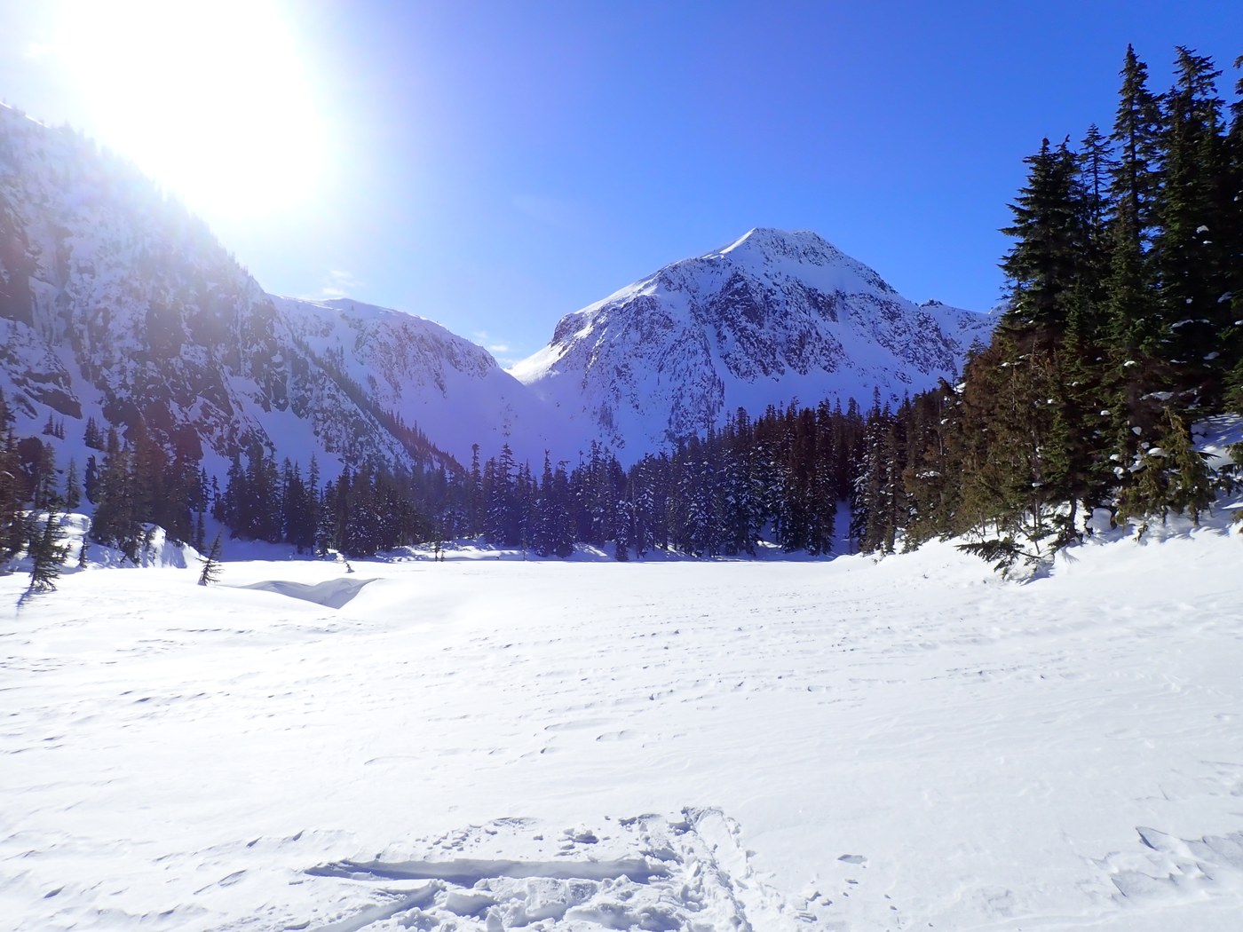
The bridge was pretty sketchy with all the snow, but we carefully crossed it and the second crossing (which is a huge log) without falling in. Initially the route to Jade isn't too hard to follow while it traverses, but it's easy to lose in the open areas. We totally lost the trail where it starts to significantly ascend to the lake and I fell in a number of tree wells. I was glad to not be alone! We found the trail again after a while and followed it on a steep traverse to Jade Lake. Jade is totally frozen over with windblown snow mounds so we crossed directly over the lake. The trail location would be potentially dangerous, lots of steep snow and rollerballs right over it. From here, we followed the trail route up some draws to the old cabin and finally to Opal Lake, where we selected a less windy location to set up camp.
Despite weather reports indicating that it would not be windy, it was really windy. We could see snow blowing around at La Bohn Gap and on the peaks surrounding us. Evidence of slab releases on La Bohn Peak as well. Did not look like a safe time to make a winter ascent of Hinman :(
We found better routes on the way down that avoided the tree well issue, although some of the water crossings are a bit dangerous right now.
Take advantage of our hard work and enjoy the broken trail! GPS tracks (my 3 so far) indicate that it is more like 11 miles to Jade and 12 miles to Opal Lake.


Comments