
With avalanche risk in the extreme zone, I decided to play it safe and walk a forest service road.
Its been ages since I was near the Heliotrope Ridge trailhead so decided to go explore.
Glacier Creek road was mostly clear for the first two miles. It was icy with snow patches and then completely snow covered just past the 3-mile marker. I parked at a pullout the other side of the large bridge over the creek.
Unfortunately that meant I had 5 uphill miles just to reach the FR36 turnoff. The snow is melting quickly between mile markers 3-5 which will allow a shorter approach.
I was fine in trail crampons. The snow is compacted by snowmobile use. The road is also clear of any downed trees.
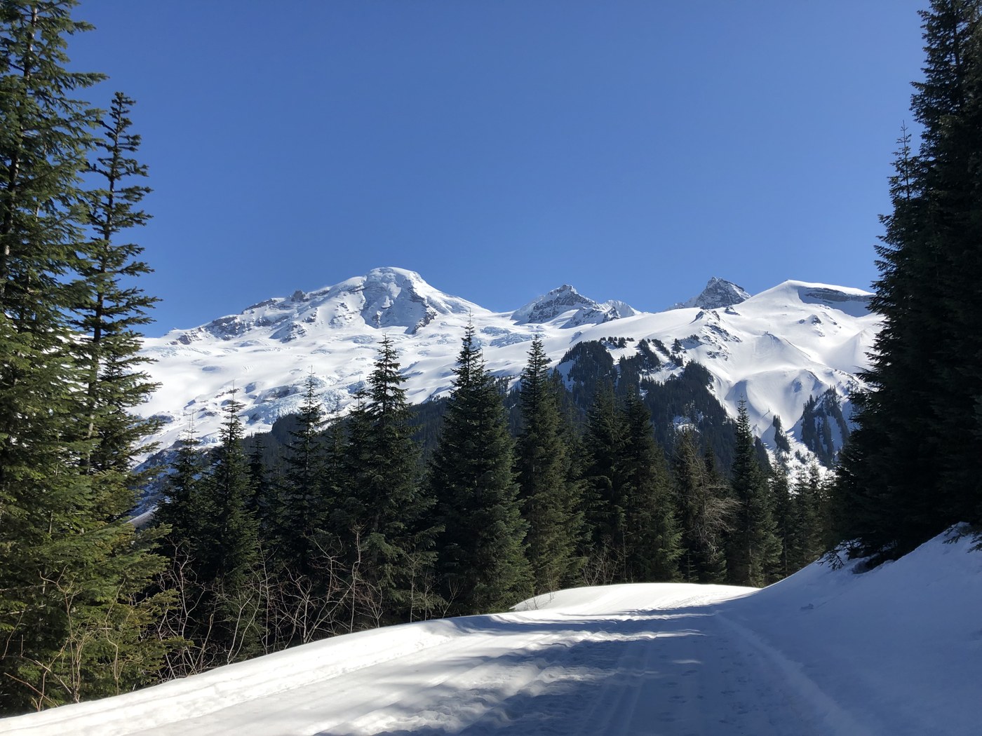
Instead of turning up FR36 I followed the road past the Heliotrope Ridge trailhead for another mile to reach a great overlook of Mount Baker.
PRO TIP - don’t bother hiking all the way to Baker Vista picnic area. There’s no view from there!
Comments