
The gentleman I met at the trailhead warned me that this is a steep hike. He wasn't wrong. This hike kicked my butt. I hiked through the winter but didn't get much vertical. This hike made up for it.
The trailhead is just off highway 821. It isn't marked but the GPS coordinates listed by WTA are accurate. Parking is limited, could probably fit 4-5 cars if everyone parked appropriately.
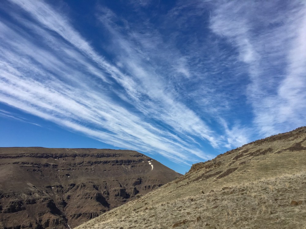
If you're facing the highway/river, the trail starts to your right. The trail starts off mild-ish but quickly turns steep. It levels off a bit after about a half mile, and then picks it up again after about another half mile and stays steep until the top. There was a tiny bit of snow on the trail near the top and it's a bit muddy in this area, but there are enough rocks here that you can avoid muddy boots.
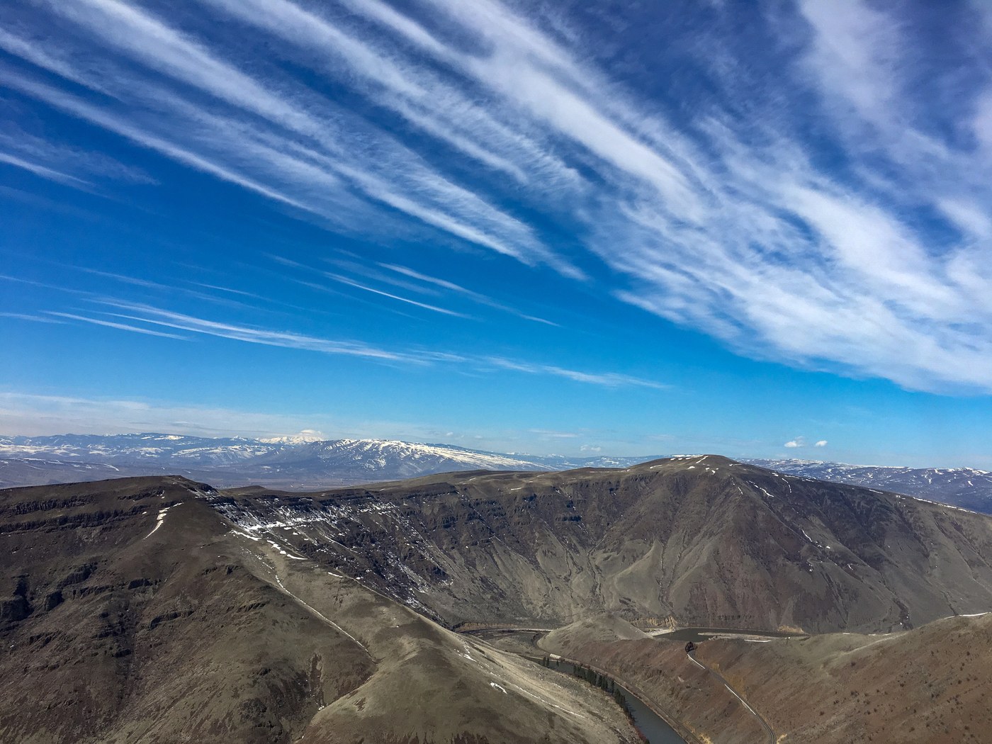
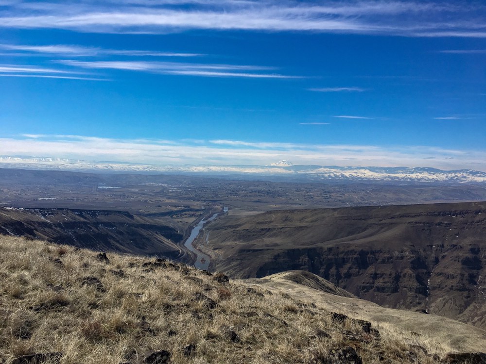
Great views of Adams and Rainier from the top and slightly obstructed views of the Stuart range. I noticed a few yellow and white flowers. Going down I was wishing I had my poles - slip risk was high in a couple spots due to steepness and a smooth, dusty trail.
There is a carcass of something at the trailhead and a good amount of beer cans. I picked up what I could and left the carcass to the flies.
Specs from Gaia: 2.8mi, 1hr 42min, 1430ft

Comments
zak_smiley on Selah Butte
wow!
Posted by:
zak_smiley on Mar 23, 2019 11:45 PM