
The other trip reports were not lying. This is the steepest hike I've done. It took us about 8.5hr total. Though that included going on the wrong trail at the beginning for a little bit so probably closer to 8. Our track can be seen in the CalTopo link.
Make sure you start on the right trail. It's the one right behind the bathroom.
After a little bit we looked at our map and noticed we'd missed the turn off to go up. Backtracked a little bit and saw what we were in for. The "trail" just goes straight up the hill side. The helpful pink flags and some boot pack make it so you don't get lost (generally up is the right direction). Watch out for slippery tree roots and have fun going up a few sections with lots of wet dirt and little footholds. You'll get up though!
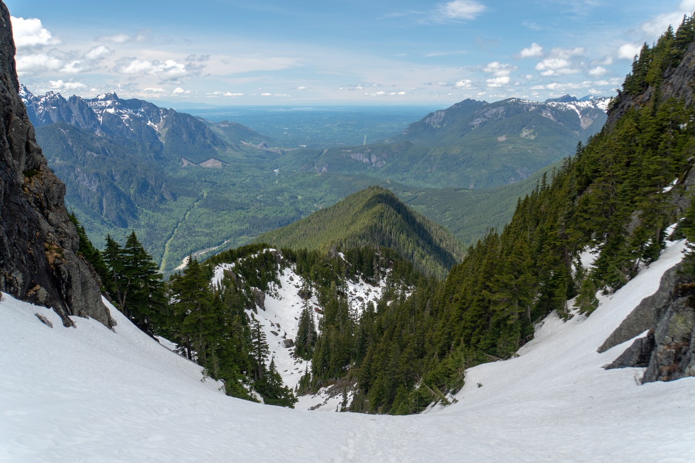
Looking behind us we could see waterfalls forming on the other mountains and when we finally got up to the ridge the views were even better. The ridge is enjoyable, not steep at all, does have some downed trees.
There's another section going up the hill again. And then we hit snow. It was fairly soft and only got softer and wetter as we went on, especially on the way down. You could kick in steps fairly well and use your ice axe to help as well. Our group put on spikes/crampons, but it was so soft I'm not sure they did much.
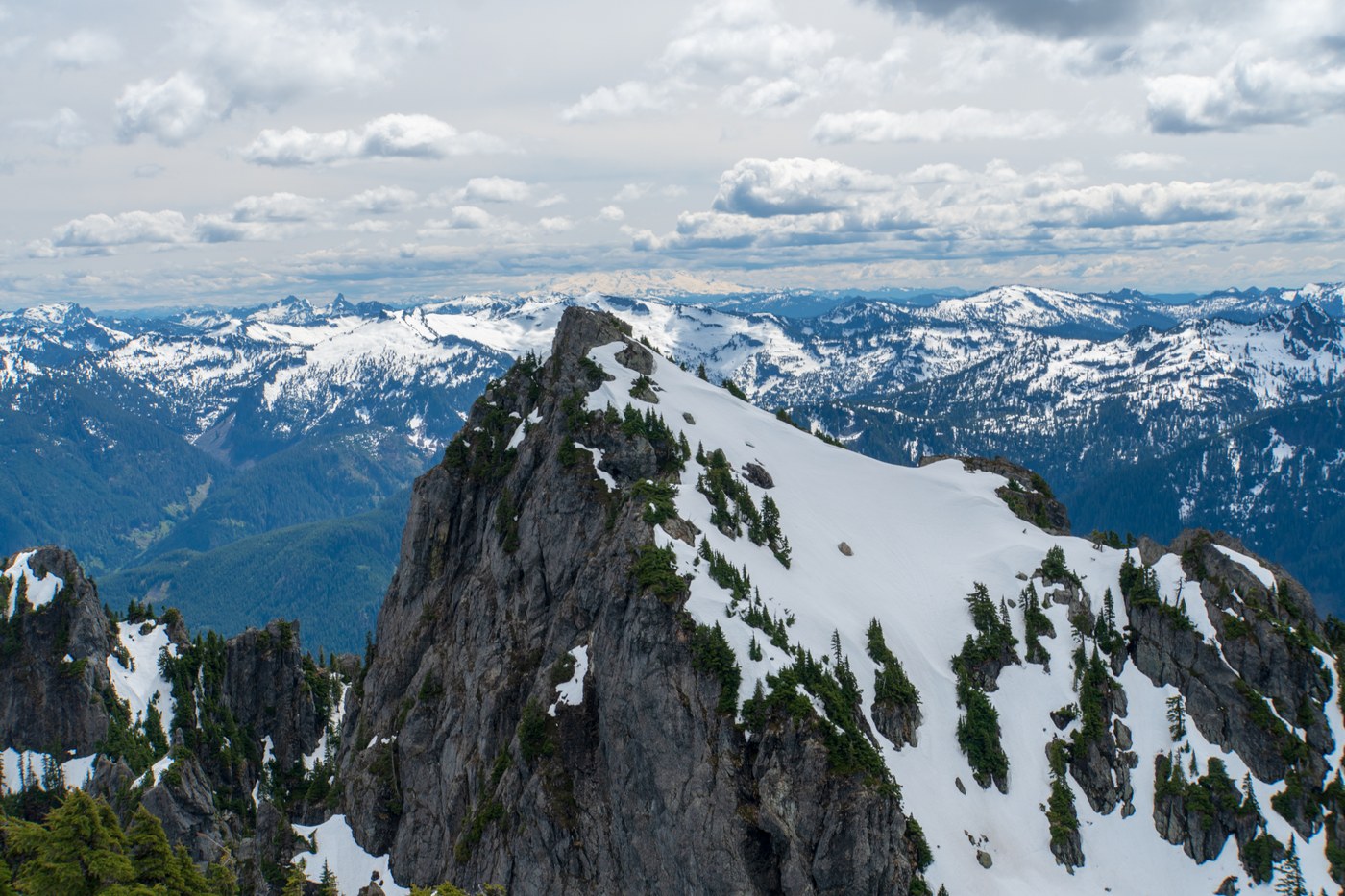
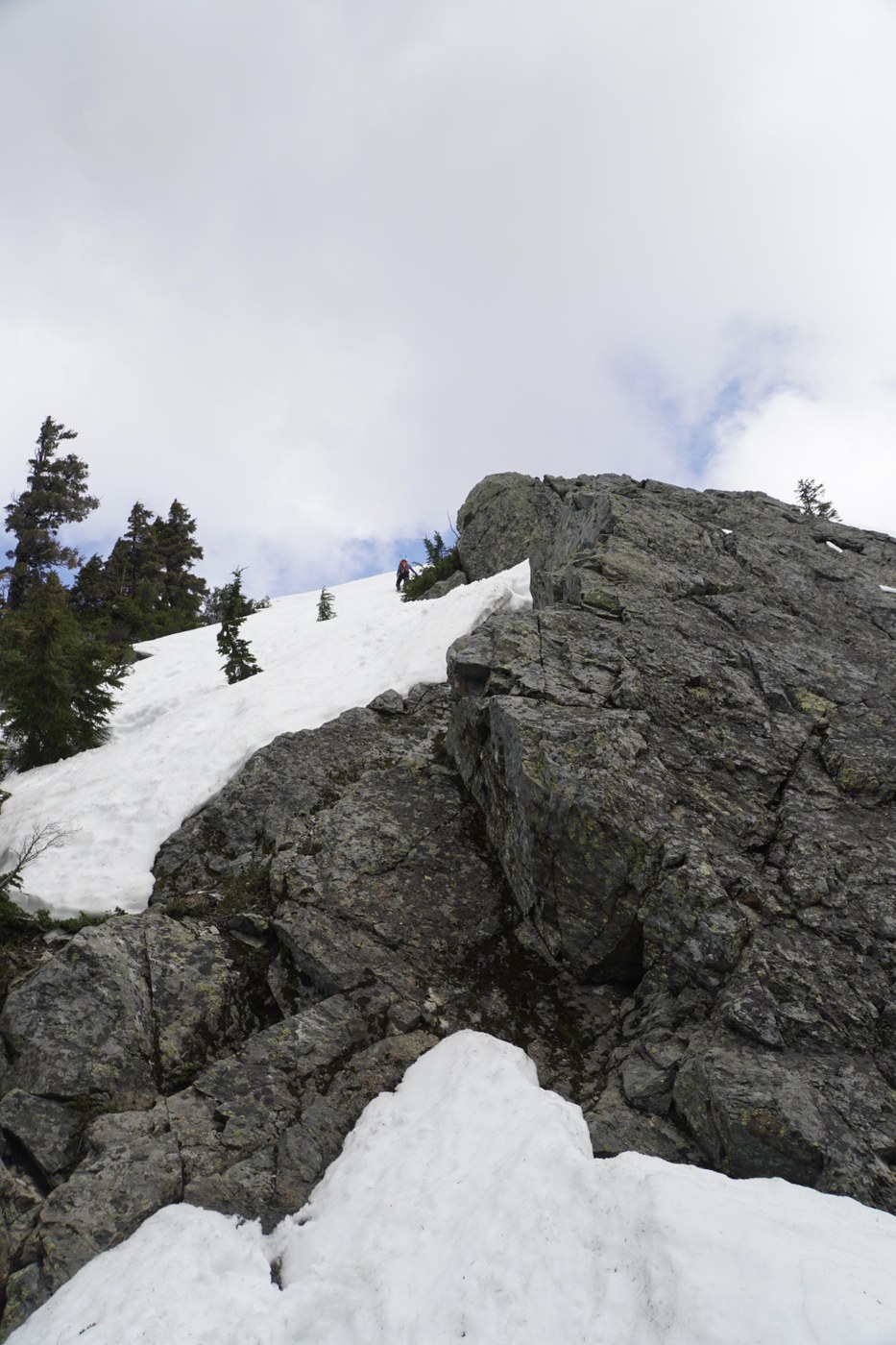
A few sections of snow/boulders were less fun to climb over before we got to the summit which was an easy scramble to the top. The worst one, right at the top of the chute is picture #4.
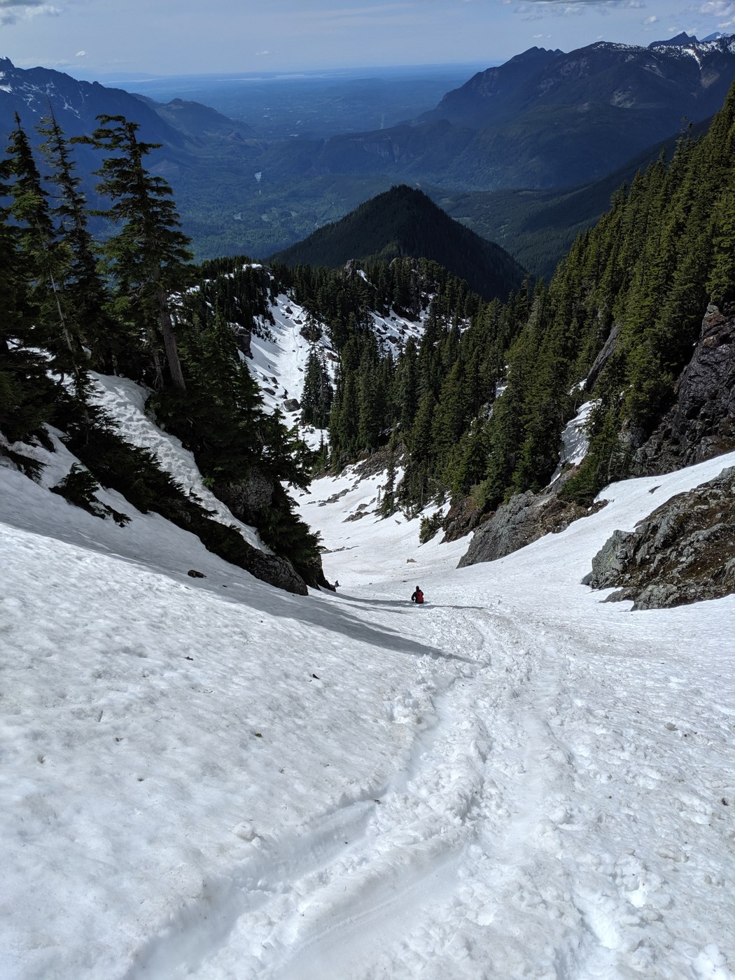
The way down isn't as bad as the way up. Glissading down the chute was a ton of fun. Highly recommend some poles for the forested sections.
Comments