
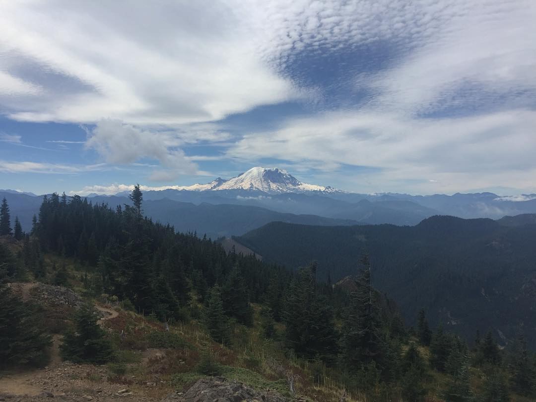
Really hard to find the trailhead using Google Maps to navigate. Lost service at some point and almost turned around. Highly recommend saving an off-line version or print out the driving directions. Once I found the parking lot and met friends there, it was much better. Gorgeous views of Rainier and surrounding mountain ranges. There's about a mile of really steep switchbacks. Well maintained so it felt safe but we took a few breaks. Once we got to the lookout building, we had a picnic and enjoyed the views. Loved it.
Type of Hike
Day hikeTrail Conditions
Trail in good conditionRoad
Road rough but passableBugs
No bugsSnow
Snow free
Comments