Holy geez this is one of my new favorite hikes.
Finding the trailhead was not difficult at all—it's across and up the street a bit from the Barlow Pass signs/lot/entry. It's right at the apex of the hairpin turn on Mountain Loop Highway.
Once you start hiking, the trail is not super well marked—but it's pretty intuitive to figure it out. By and large, if you're making any sudden turns/switchbacks/hairpins when the trail splits, you're going the wrong way. It's a fairly straight trail, and stays within earshot of the South Fork Sauk River for most of the hike.
The WTA stats on the hike seem pretty accurate—if you only hike to the entry of Monte Cristo, and don't explore it. We did about 11.5 miles in total, including a short jaunt from the car to the trailhead, and exploring all that we could find of Monte Cristo.
The log "bridge" you have to cross was no issue at all—the river has mostly rerouted, and while you still need to cross it, it's not as high-stakes as it sounds like it once was with a rushing river beneath you and wet log to walk on.
Take the time to go down to the part of the town by the old ore concentrator site is—it's fairly neato. Also, the view *up* the river from there is GORGEOUS.
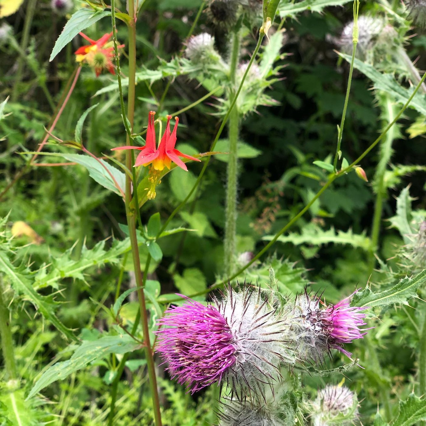
The wildflowers were INCREDIBLE.


Comments