
We arrived early evening (~5:30pm) and the road conditions were quite awful. There were a many potholes (not as bad/deep as the Mt. Pilchuck trail), a few washouts (passable), but about ~1.4 miles away from the trailhead, there is a pinhead shaped road where there is a VERY rough/boulder-y area. I would not recommend driving over that specific area if you have a sedan-like vehicle unless it's a junk car that you don't care about being scraped up badly; a high clearance vehicle is highly, highly recommended. Also FYI, the trailhead can be difficult to spot (a small opening/gap between trees/bushes) but look for the sign #1348.
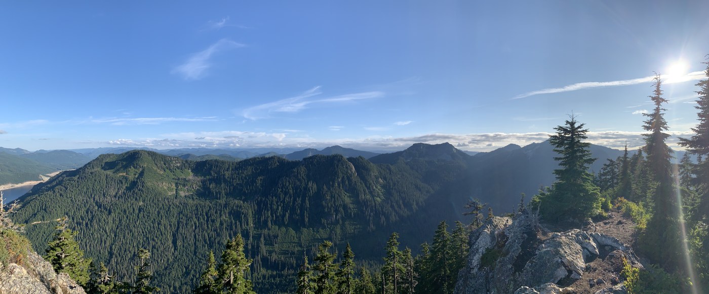
The majority of the hike (80%) was a moderate incline with a few plateaus in between. We didn't notice too many bugs. The top is a steep cliff with an almost 180 degree view of the mountains/hillside. Overall, it took about 1.5 hours to get to the top with frequent breaks and about 40 minutes to hike down.
Comments