

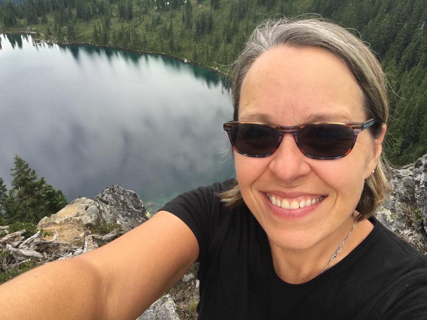
After waiting out four weeks for a broken toe, looks like this will be my one backpacking trip in this summer before returning to work. This was my annual trip on my adopted section of the Pacific Crest Trail with a side trip up to Bench Mark Mountain on the West Cady Ridge.
I started from the Smithbrook TH around 2pm on Thursday and made it to the small campsite above Glasses on the Pacific Crest Trail. No new logs down on the trail this year made for easy sailing. Janus had a handful of campers and someone was camped about 1.4 miles up from the lake at the small stream on the left before the ridge. I stopped for water on a turn above the campsite where there is a boot path, I knew my campsite ahead would be dry.
There had been no precipitation in the forecast for the weekend but that didn’t stop a cloud from parking itself at my campsite above Glasses Lake, I spent most of the night listening to condensation and pine needles dripping on the tarp over my hammock while the wind blew.
I awoke to a rosy sunrise and carried on up over Grizzly Peak, down Wenatchee Pass and up to Pear Lake where I took a site near the back where the Meadow Creek Trail heads up and over to Fortune Ponds. I had contemplated continuing on towards Benchmark but since I was heading out Top Lake, figured Pear Lake would be better tonight rather than Saturday night with possible crowds.
Since it was only noon at this point, I decided to do something I had always wanted to do in the times I had been to Pear, scramble over to take a peek at Peach Lake. So, after swinging in the hammock a bit I strolled over and begin making my way to the talus field on the other side of the lake.
I didn’t take the most direct up, heading for the notch at the ridge and once near the top noticed a VERY faint bootpath I stayed on to the top. It wasn’t graceful and thank goodness for veggie belay. The view down to Peach was worth it and in order to baby my toe, I basically butt crawled down on a much more direct route down that led to a small set of trees near the water’s edge. Would make for a good reference point if there is a next time.
All told, about a 3 hour adventure and it was back to swinging in the hammock until my regular Pear Lake routine of walking up the Meadow Creek Trail to the large boulder in the talus field there and watching the sunset. All my loved ones know this is where I want my ashes to be. White low level clouds drifted up from the meadow near the junction of Top Lake, tentacles coming over the ridge from Peach as well.
As a person who has hiked the Meadow Creek Trail many a time and not seen a soul, it was surprising at 7:30pm and again at 9pm to have hikers come over the ridge from Fortune Ponds to camp at Pear. They all knew each other but it can be hard to set up on durable surfaces when your large group arrives late to a popular lake on the weekend. Just sayin’.
The next morning I was up and walking north before the thru-hikers at the east end of the lake, continuing on the PCT towards the junction with West Cady. My plan was to summit Benchmark, spend some time and then make my way back down to camp for my third night somewhere before the junction with Top Lake (but not Pear again). I paid attention for campsites to judge where I might hang my hammock. The site before Saddle Gap had plenty of tent space and water but I wasn’t sure about the trees.
The slope up to Saddle Gap still needs some brushing and tread work, it would be easy to misstep off the side. Just down from Saddle, a marmot sat calling out to friends on the large boulder up from the trail and I was soon turning up on West Cady.
There was a trickle of water just up from the PCT and a nice campsite a few switchbacks up from there. No water source, unless you count a little puddle that’s probably home to a few frogs. The trees would be good for hanging, though, so I decided I’d be back down to stay here for the night.
The walk up to Bench Mark took about 1.5 hours but I have a lot of pictures to show for it and the blueberries were fierce. I was glad to see the FS had cleared the trees that blocked the trail back in 2016 when I was here last and the rest of the trail was in good shape. I opted for the boot path up to the summit from the west side, having done the other one and knowing it was not in good condition. I hadn’t noticed there was a campsite where that boot path headed up, it would make a good spot but I didn’t want to hike out from there the next day.
Benchmark was its usual stunning self and I enjoyed the summit to myself for about 3 hours which may have included a nap. The clouds had been summit high most of the day and luckily I woke up around 2:30 to notice a dark one coming in from the West just in time to pack up and start back down when rain and wind begun. So much for forecasts.
I waited it out for a bit at the campsite below the summit, it wasn’t strong and soon passed. Just long enough to get the meadow (and my shoes) wet, I made my way back down to the campsite closer to the PCT. The wind came in bursts so I sat for awhile gauging the best direction to hang my hammock. I’m not sure I did as well as I could have but I was definitely getting better at figuring out how to hang the tarp over it to protect from rain and wind. I was a little sad that fall seemed to have arrived already, definitely going to pack the underquilt from now on.
Hiking out and back down the PCT in the next morning, it was funny to see the same marmot chilling on the same boulder. I passed several PCT hikers heading north from Pear Lake and stopped to chat with Ranger Lulu from the Wenatchee District out to scout up where I had just been. I’m guessing I had the same blue tongue as she did from the plethora of wild blueberries on the trail right now.
Arriving at the junction for Top Lake, I was once again thrilled with the new check steps installed by our North 350 Blades crew earlier this month on my insistence. Now we just need better signage!
Continuing towards Top Lake with a short time to get to the trailhead to meet my husband for a ride back to my car, I was slowed down again by berries. SO MANY BERRIES RIGHT NOW! Top Lake was surprisingly empty (around noon) but I could see a small orange tent tucked back in the trees on the northeast corner of the lake so maybe everyone had already hiked out.
The clouds were high enough I had views across the valley along the slopes of Fall and passed a few hikers heading in as I headed down from Shoofly. I had been looking for the sign for the wilderness boundary at the end of the burn area and then noticed a new one hanging just outside of it. Must have not survived the fire. All in all a good trip, about 30 miles and my toe was only a little sore by the end of it.


Comments