Wanted to "scout" out these trails to get familiar with them as they are half of a planned double loop in this area. My only deviation from the route listed is I jumped on the Stilleto Spur Trail from the Bridge Creek Trail at the beginning.
Left Bridge Creek trailhead at about 8:00 AM. The half mile or so to the junction with the Stilleto Spur is in great shape.
Stilleto Spur trail is easily followed but definitely doesn't see as much traffic as the other trails in this area. A few overgrown spots to deal with and some blowdowns but nothing other than that to note.
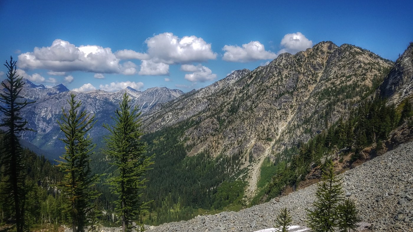
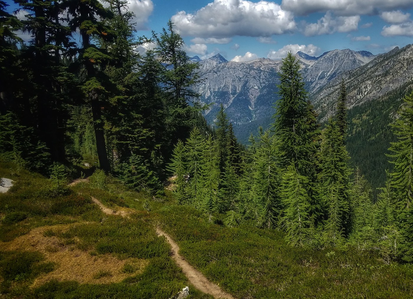
McAlester Lake Trail climbs gently through forest eventually leading to a large alpine meadow at the pass. This trail is in fantastic shape, has plentiful water sources and despite gaining altitude the entire way, never feels like a grind. I expected a bit more alpine views from the pass but regardless, it is a beautiful area.
Rainbow Creek Trail is a bit rougher at the upper part, but once you descend into the forested valley, it too is a smooth, easy cruising trail. Water sources aren't as numerous but there are a few along the way to the junction with Rainbow Lake Trail. On my trip, this is where the temps really started to soar as you are out in the open and exposed to the sunlight. The bridge over Rainbow Creek is in.
Rainbow Lake Trail starts with some steep switchbacks in the open before leading into the forest and a more gently climbing trail. Again, water sources aren't as numerous but you have a couple of spots before getting to the lake (and the lake itself). The climb from the lake to Bowan Pass is rocky with tight switchbacks but wonderful views. Had a fantastic bear sighting here and watched in awe as the bear sprinted up the flank of Bowan Mountain.
The descent on the north side has more fantastic views and tight switchbacks that drop you off in yet another forested valley. A couple of smaller water sources on this stretch and the lower elevation of the trail has some overgrown sections but the trail is still easy to follow. As you approach Bridge Creek, the forest opens up again exposing you to sunlight. I reached this section about two in the afternoon and it was quite warm!
Some previous intel had me to believe that Bridge Creek would have to be forded but when I got to the crossing, I spied a log about 25 yards downstream and easily walked across it (if wet, you will likely have to do the butt scootch). This dropped me off at a campsite and after some poking around, I found the trail that leads to the PCT/Bridge Creek Trail.
PCT/Bridge Creek is in great shape. Was back at my car after eight and a half hours. There was some jogging on the descents but the majority of this was just walking.
No bug issues along the way. I feel like this would be best in the fall when the foliage is showing off bright colors and the temps are a bit cooler. Great long day hike/run or overnight (or two) route. Totals were 32 miles with 7k of gain.
Trip Report
Rainbow-McAlester Loop — Thursday, Aug. 15, 2019
 North Cascades > North Cascades Highway - Hwy 20