
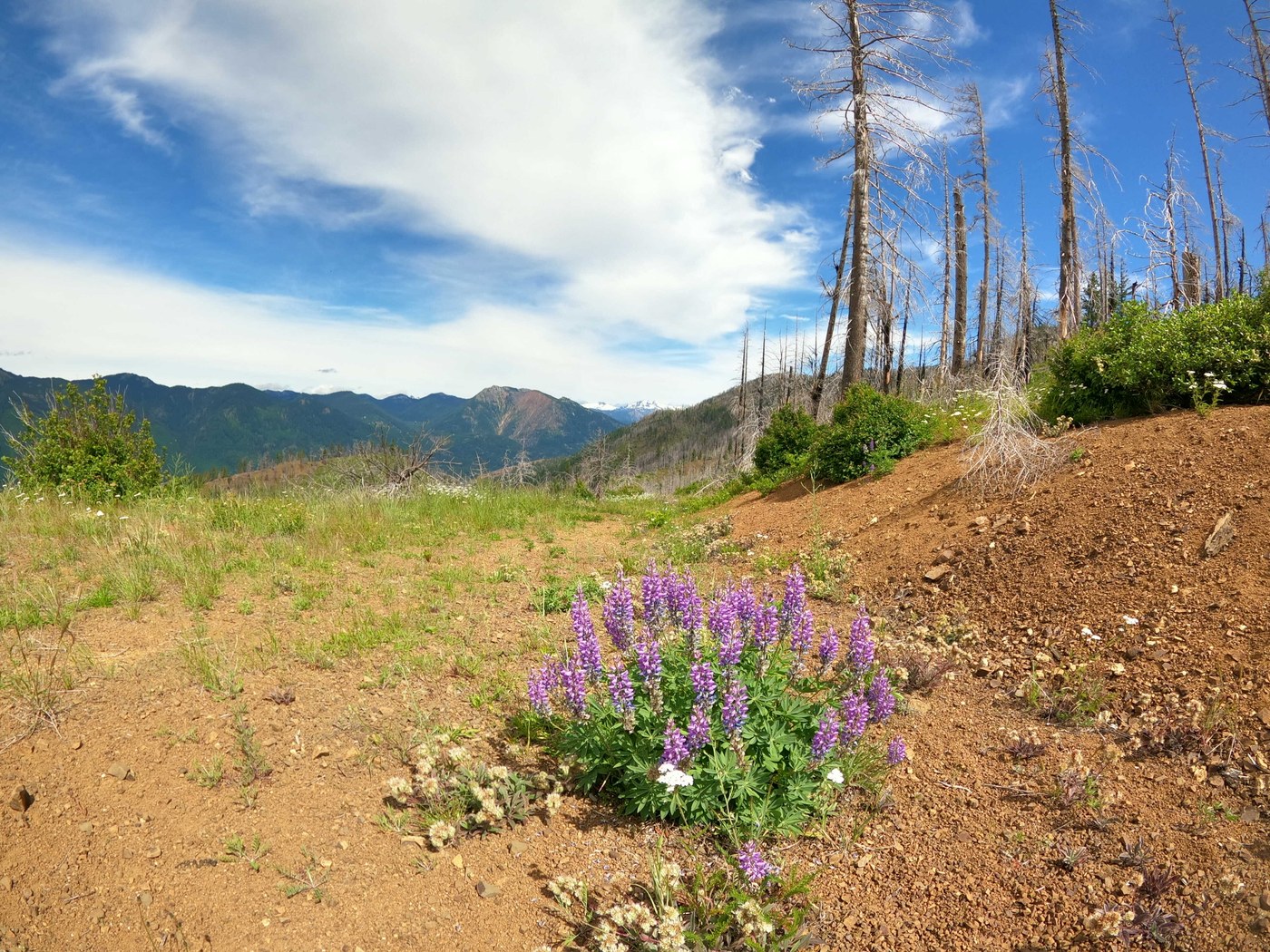
Did this hike with a Meetup group. The hike up to summit wasn't too bad. Trail gets steeper once on Hex Mt. trail proper. There is a cairn and sign that marks the beginning of the Hex Mt. trail (trail #1343) from Forest Service Road #116. Weather was sunny at times throughout the hike and a the summit. Trail can get slippery from the small rocks while descending the steep trail. Taking your time and hiking poles are helpful for those sections. The group also hiked over to the nearby secondary peak east of the Hex summit and descended down the spine near that secondary peak. We continued to follow the multi-use dirt bike trail that eventually connected back to FR #116. These trails are not very well marked and we had to use our best judgement based on the info we have from our GPS apps/maps. There were also a couple blowdowns noted. I got a chance to use my Sawyer filter for the 1st time to re-up on H2O for some group members from a stream about 1/2mi from where this dirt bike trail reconnected to FR #116. We only saw a couple other groups and a pair of dirt bikers on this trail today. It was pretty chill hiking adventure and would like to return in the winter to some snowshoeing out here. Happy trails!
Total milage: 9.2mi
Elevation gain: 2900ft
High point: 5034ft


Comments