I spent two nights camped at Marmot Pass and Mount Townsend. Some of my friends offered to meet me at Mount Townsend on my last morning, hike out with me, and drive me back to my car at the Upper Big Quilcene trailhead.
I arrived at UBQ around 9:30am. The road was fine for my old sedan, just a few larger potholes that needed to be carefully maneuvered around. There was space for about 15 vehicles in the lot. No privy.
Upper Big Quilcene TH to Marmot Pass:
The majority of this trail climbs gently through the forest alongside the river. There were no blowdowns or tricky water crossings (nothing hit above my ankle, and my shoes never got wet). The views start to open up in the last mile leading up to Camp Mystery. My intention was to camp near the pass, so I made sure to fill up on water at Mystery. I think there are about 10 campsites scattered around this area. This is also where I really started to notice the mosquitoes, which I thought were way worse at Mystery than they would be once I got to the pass. I doused myself in DEET and hoped for the best.
Beyond Camp Mystery, the trail switchbacks up a few times before entering a meadow. There are a few big shaded campsites in the trees on the left side of the meadow. I hiked up to the pass and made a right towards Buckhorn Mountain, where I pitched my tent at one of the few shaded flat spots on that side. Some folks were camped higher on Buckhorn, but there is zero shade up there. The views certainly get better the higher up you go, but since I got to the pass relatively early, I didn't think it'd be all that fun to set my tent up in full sun and roast all day. The last time I visited Marmot Pass, I camped up on Point 6294 (to the left at the pass), but also there's hardly any shade up there, and the farther you are from Camp Mystery, the farther you are from water should you happen to need a refill.
I didn't think the mosquitoes were all that bad at the pass, but that may be because I was entirely focused on the handful of massive horseflies that made it their personal mission to ruin my life.
I saw one marmot flopping around in the meadow in the evening.
Marmot Pass to Buckhorn Mountain:
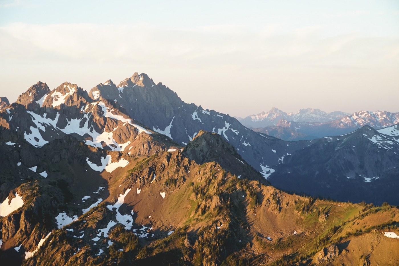
The next morning, I woke up early to watch the sunrise from Buckhorn. As others have mentioned, there are two ways to get up to the summit from Marmot Pass; you can drag yourself up the short (~0.4 miles) but steep/dusty/rocky switchbacks that are immediately visible from the pass, or you can head up the Tubal Cain Trail and turn right at the first juncture you encounter to approach Buckhorn from the north. This second option is longer (it's about 1.5 miles), but IMO it's much more gentle and the views are better. I climbed the switchbacks to catch the sunrise, and wandered back to camp the other way to get the full experience.
Marmot Pass to Buckhorn Lake:
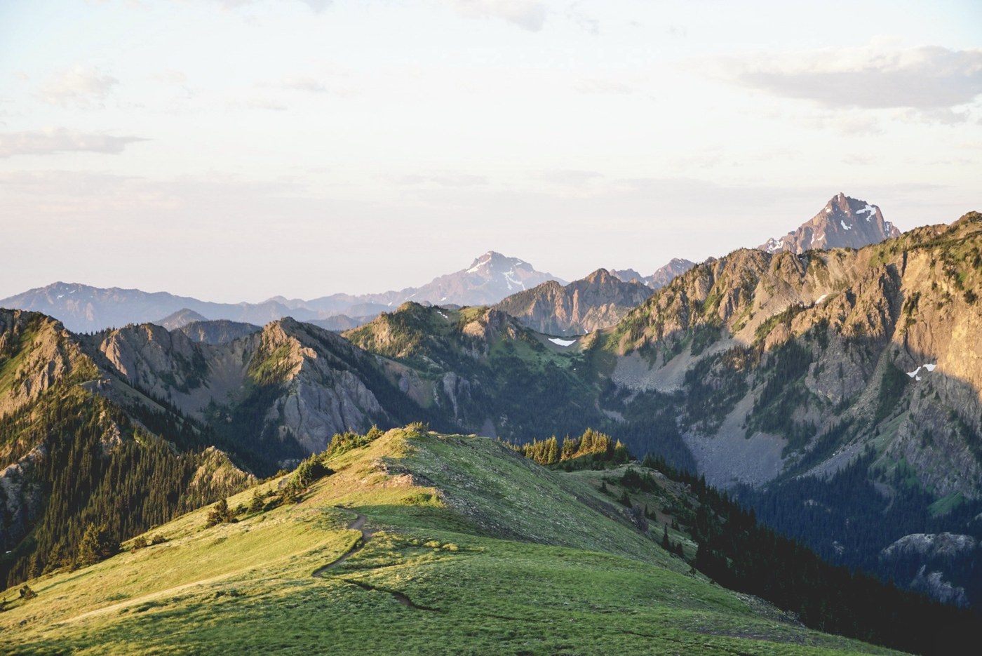
After getting back to camp, I ate breakfast, packed up, and started on the next leg of my journey. My first destination of the day was Buckhorn Lake, which is about 3 miles away from Marmot Pass on the Tubal Cain. This section of the trail is quite pretty, with sweeping views and wildflowers aplenty. The juncture to the lake is signed. I counted about 5 or 6 campsites tucked in the trees around the lake. After eating lunch, I lounged around for a bit and took a quick dip to cool off before continuing on.
Buckhorn Lake to Tubal Cain TH:
The Tubal Cain Trail is super evenly graded and well-maintained. Much of the trail is forested which provides a nice respite from the sun. I encountered a few parties camped near Copper Creek. Unfortunately, the rhododendrons were a week or two past their prime while I was out there. Since it was getting late in the day, I didn't take the detour to check out the mine/B-17 crash site. I'll have to come back to explore more another time. Before popping out onto the road, I refilled my water at Silver Creek because I knew that there was unlikely to be any water on my route beyond that heading up to Townsend.
Little Quilcene TH to Mount Townsend:
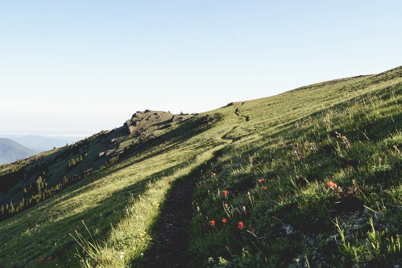
From the Tubal Cain TH, I turned right and walked up NF-2870 a bit before finding the Little Quilcene TH on the left. This trail really just goes straight up and up and doesn't really start to level out until you gain the ridge about 1.5 miles in. Thankfully, the steepest parts of the trail were pretty well-shaded, otherwise I'm certain I would've simply expired. I hiked by a few west-facing campsites on the ridge that looked nice, but the lack of water thing would be a big drawback to staying up there.
The trees thinned out as I approached Townsend. I checked out the North Peak first before eventually setting up my tent closer to the South Peak. Nothing beats big meadows and big views, and Townsend has both. I made dinner and ate while I watched a spectacular sunset. I think there was one other party camped up there for the night. Flies and mosquitoes were a bit of a nuisance here, too.
Mount Townsend to Mount Townsend TH:
I woke up early again to peek at the sunrise. My tent became unbearably hot as soon as the sun hit at around 6am, so after a leisurely morning and an oatmeal breakfast, I packed up quickly and scurried around chasing the shade for an hour or two before my friends arrived. I saw a fair amount of unburied toilet paper and poo. :( Big sad.
After I met up with my buddies, we hiked back down together. The hike out was all downhill and uneventful. The turn-off for Windy Lake is about 1.3 miles down from the summit, though we didn't stop. The privy at the trailhead was still closed.
After my friends ferried me back to my car, we drove back out to Quilcene and stopped at Gear Head Deli for some big ole sandwiches and spicy waters.


Comments
Looks like quite a journey. Did you have or need permits for any of these campsites? I’m not aware of camping farther out from Camp Mystery without a permit. Or on Mount Townsend. Thx
Posted by:
shegoat on Sep 01, 2022 09:19 PM
Hi! I didn't need to apply for campsite permits for either area. At Marmot Pass, there are established campsites in the bowl/meadow beyond Mystery. If you go south on the ridge once you hit the pass, you'll pass a handful of established sites, and there are at least three on point 6294, which is where I camped last time I was up there. There might be more in that area, but I'm not sure. I camped at an established site north of the pass this time around (heading towards Buckhorn). I saw a few tents pitched closer to the Buckhorn summit, but I'm not sure if those were established sites.
Townsend was trickier for me because I had never camped up there before, so it took me a little while to find a spot that I felt comfortable setting up on. I'm sure there were more sites, but I only noticed two spots that seemed legit; one directly north and a little bit of a drop down from the north peak if you're approaching from the south, and a bare spot that seemed to double as a viewpoint and a campsite south of the south peak.
Posted by:
britt_le on Sep 02, 2022 12:16 PM
Thanks for the information.
Posted by:
shegoat on Sep 04, 2022 08:53 AM