I completed a long hike yesterday in the Ingalls Peak area, visiting three lakes and one peak. This route is not for the faint of heart - lots of scrambling in the middle section on rock and some snow.
15.3 miles, 4,850' of elevation gain, 10:22.
ROAD: I drove to the Esmeralda TH, arriving about 7:15 AM. The road is in great shape - a bit of washboard but no issues for any car. There were about a dozen cars at the trailhead, mostly backpackers I think. The bathroom is clean and stocked.
INGALLS WAY: The Ingalls Way Trail is in excellent condition with no blowdowns. It was a smart move to do this one early in the morning - pretty much the entire trail up to Ingalls Pass was in the morning shade. There are loads of wildflowers blooming, and the rock gets more red and more interesting the closer you get to the pass. Some parts of the trail are fairly narrow and on a steep side slope, so watch your footing.
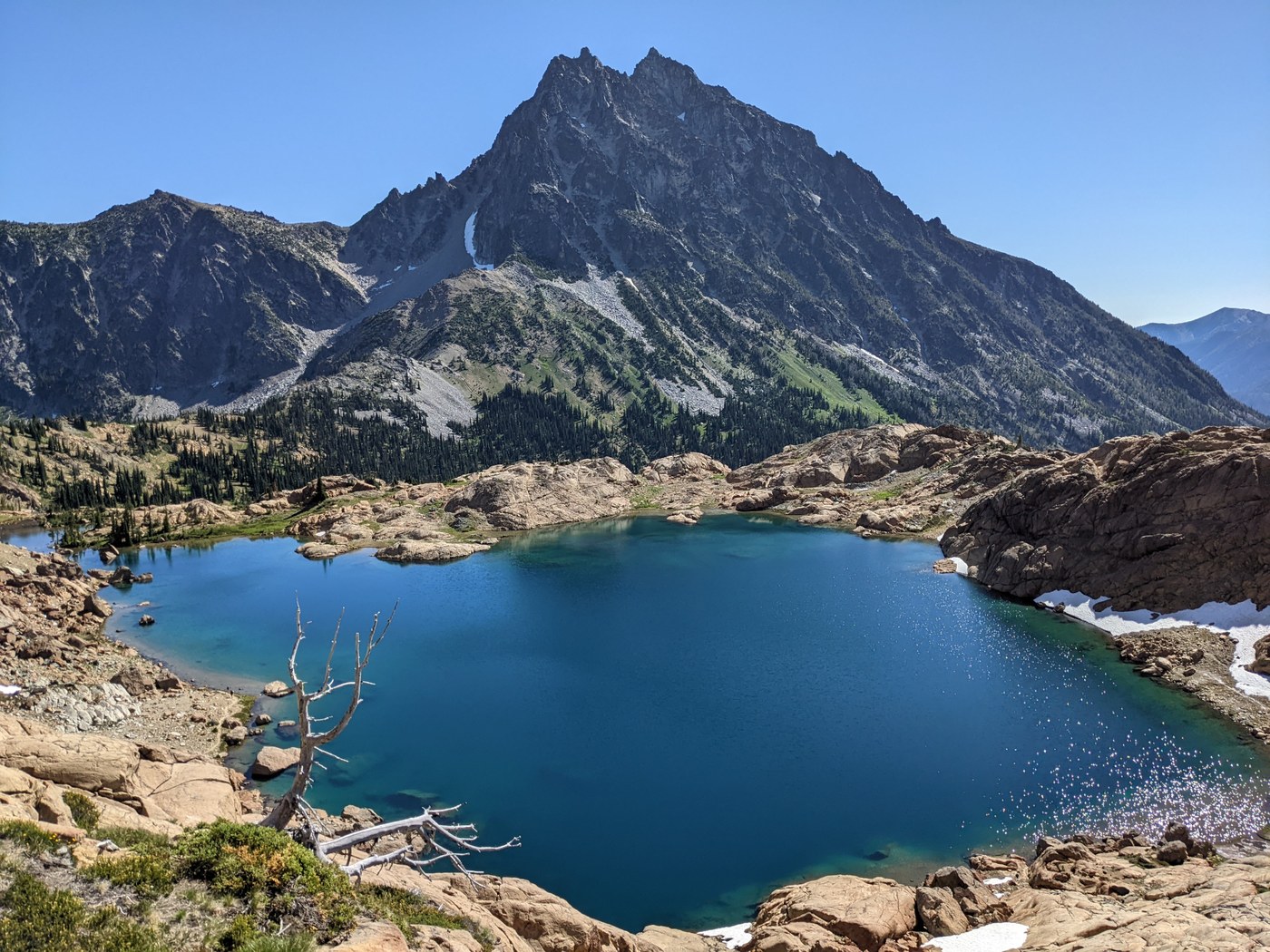
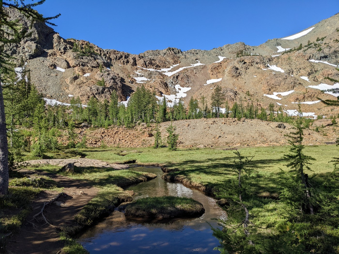
HEADLIGHT BASIN / LAKE INGALLS: Once reaching the pass, the views are amazing. Headlight Basin is a wonderland of slabby red rocks, green meadows, and snowmelt streams. I took the upper trail through the basin, and encountered 2 large groups of mountain goats right on the trail. I made a wide detour around them, but they definitely seemed very curious - one large one followed me for a bit before losing interest as I continued down the trail. I lost the trail one time when I missed a turn, ending up in a pile of car-sized boulders with no apparent way through. I retraced my steps and found a left turn that I missed. A little bit of mud in places through here, but not a big deal.
The trail seems a bit chaotic as you climb the final rise to the lake. Apparently one way goes left and one goes right, as I later found by looking at my map. Both routes eventually take you to the lake. The lake is a beautiful blue color and the scenery is astounding. I now fully understand why people flock to this hike - it's hard, but not too hard, and the red rocks seem like a slice of Arizona or Utah has been dropped into our midst. I only saw five people on my way to the lake - all backpackers except one Mount Stuart climber who started out about the same time I did, but quickly passed me on the way up.
I saw no one the rest of the day, except near the bottom of the Esmeralda Trail, where I saw three backpackers heading up.
SOUTH INGALLS PEAK: To get to South Ingalls, the easiest route is to climb up the gully due west of the lake, aiming for the col (pass) between Ingalls and South Ingalls. At the bottom part you can go up the rocky gully, or just scramble up the slabby red rock south of the gully. I chose the slabby scramble, which was really fun and well protected in most places. After you reach the top of the slabs, you still have more gully to climb, and ultimately there is a path of sorts through the loose rock. You want to aim for the "tooth" or "fang" rock at the top, which is right at the pass. The large pyramid-shaped tower you can see from the bottom is south of the pass, so stay right of that. There is still plenty of snow in some parts of the gully. You might be able to avoid it by being creative, but it was easy enough walking up with my mountaineering boots, which I carried all the way up in my pack.
Once at the pass, I followed directions from earlier reports, and dropped down the other side to find a way to scramble back up to the ridge. There is a shorter way where you only drop about 30', and an easier way where you drop more like 80'. Either way, you will scramble back up gullies and solid rock to attain the summit ridge south of the pass. Once you are back up to the ridge, it's pretty obvious how to follow the route to the summit, and it's just a walk-up. Mind the drop-offs on the west side, they're quite severe!
The views at the top of South Ingalls are phenomenal. You can, of course, see Lake Ingalls and Stuart, but you get 360 degree views into the Stone Kingdom, Mount Daniel, north to Baker and Glacier, and south to I-90.
DESCENT TO LAKE ANN TRAIL: After lunch at the top, I returned to the col and then dropped down the NW gully to eventually connect with the Lake Ann Trail about 3/4 of a mile north of the lake. The top 500' of vertical here is some loose rock, and lots of HUGE boulders, combined with a few snow fields here and there. There are some cliffy rocks in places, but it's not hard to find a way around. I got out my ice axe for a few steeper snow sections, but usually there was a way down on rock nearby. Once I reached flatter terrain, I contoured roughly NW through open woods until I reached the trail. If I had to do it again, I would just continue following the stream gully west and directly downhill to the trail, which would minimize the off-trail stuff. However, the brush through this area was not bad at all.
VAN EPPS PASS / SPIRIT LAKE: Continuing north on the Lake Ann Trail, you will eventually reach a road, 4W303. This is about 0.3 miles from Van Epps Pass, and it's eventually merged into 4W302 about halfway to the pass. Views at Van Epps are pretty nice, but better yet there is a refreshing breeze. From Van Epps Pass, I followed a road east and then a boot path toward the Van Epps summit. At about 5970' I dropped of the ridge and bushwhacked NE toward Spirit Lake. There are way trails down the hill in places, but they all seemed to peter out eventually. The lake is not far, but the terrain is quite steep, and it's easy to get lost in the forest - only recommended for those with routefinding and off-trail skills. There was more brush than I expected here, but most of it is just steep forest. Spirit Lake is quite pretty - I suspect most people would be content to observe it from above, on the boot path up toward Van Epps Peak.
LAKE ANN: Returning to the Lake Ann Trail, I walked back past Lake Ann and then down Esmeralda Basin to the car. North of Lake Ann, this is mostly quite a nice trail, with a gentle grade. There are some muddy spots, and a few places where the trail seems to disappear in a grassy meadow. When in doubt, just traverse across - there are no switchbacks on this part of the trail.
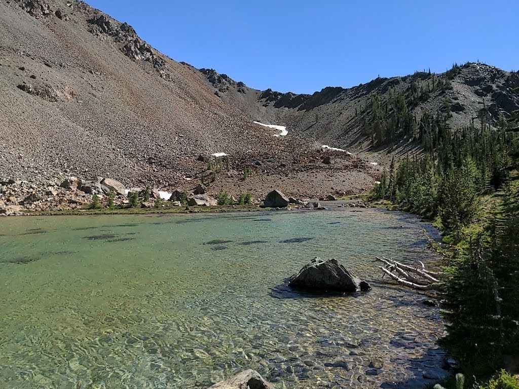
Lake Ann itself is very shallow but also very pretty. I had seen it from atop South Ingalls and it looked like a muddy pond, but it looks quite different when standing next to it. I suspect one could wade across the entire thing since it looks to be about 3' deep at most, but the color is beautiful and it's striking next to the rock of South Ingalls. There are several camp sites on the hill next to the lake. The climb south to the pass leading to Esmeralda is rocky and potentially hot, but fortunately it's not long. The worst part of the trail (IMO) is the section south of the pass - it's full of loose rocks almost all the way down to the Esmeralda Trail - this was hard on my tired legs, but poles helped a lot.
Once joining the Esmeralda Trail, the way is smoother, and the slope is very gradual. The last few miles take longer than you expect due to the many switchbacks in the trail. Views are less impressive here, but it's still open in many places so you can see the Esmeralda Peaks. Also, the wildflowers are good on the Esmeralda Trail and you cross the same stream 5 times in case you need to refill your water, LOL.
BLOWDOWNS: There are maybe 3-4 blowdowns on the Lake Ann Trail north of the lake, and perhaps 2-3 between Lake Ann and the Esmeralda Trail. On the Esmeralda Basin Trail itself, I would say about 4-5 blowdowns. Pretty much all of these are small or medium, and could be easily taken care of with a hand saw.
BUGS: Bugs were a non-issue, even at the lakes and other areas with water. There was a nice breeze in most places that probably contributed, but even when there wasn't, the insects were tolerable and I didn't use any insect protection. Hopefully that means we are past peak bug season!


Comments