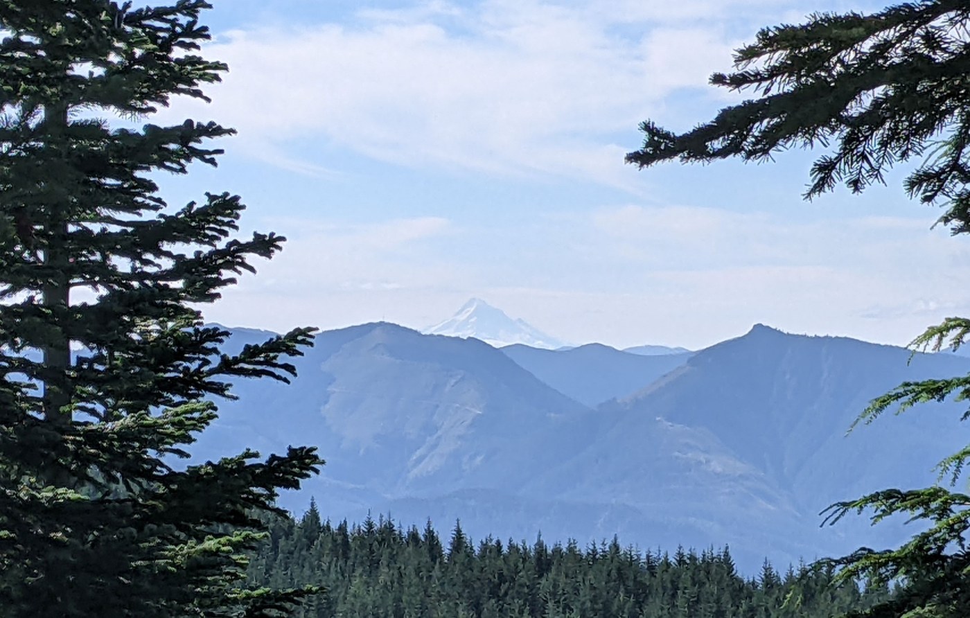
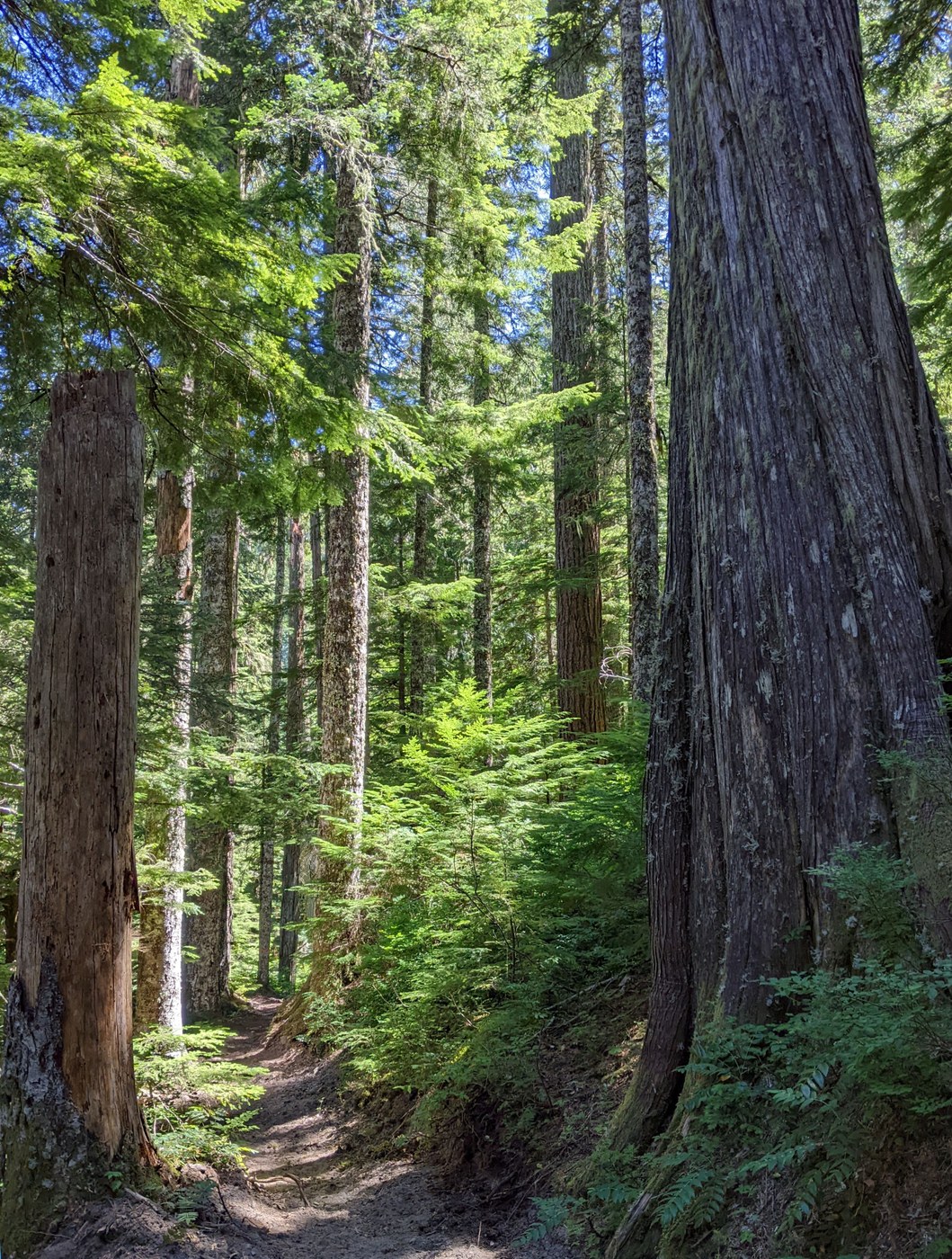
This trail offers panoramic views of Mt. St. Helens and glimpses of at least three more volcanoes – Adams, Hood, and Rainier. You also get to hike under lots of big trees – noble firs, Douglas firs, hemlock, and western cedar - while following a trail which undulates along ridges and switchbacks up and down the mountain. Forest bathing at its finest!
For the easiest trail experience, leave one vehicle at Kalama Horse Camp, and take a second means of transportation five+ miles to the Red Rock Pass Trailhead (despite the potholes on gravel NF-81 between the two sites). This permits traveling the Cinnamon Trail from East to West. The legs involved will thank you for the more than thousand foot lower elevation of your destination in this direction.
The Cinnamon Trail begins across the road from the Red Rock Pass parking area with some brushy sections before and after you take the unsigned fork to the left to switchback up the initial 600'+ climb. A shorter horse or person might find the brush obscures their view of the trail in spots. Some large noble firs bracket the trail. The trail grade varies, with some short, steeper sections, but was well laid out. Near the end of the first mile, keep your eyes peeled for Mt. Adams peeking out above the shoulder of Mt. St. Helens slightly N of East. A great place to stop and enjoy fresh, juicy, Washington cherries this time of year.
The next .5 mile's nearly level through younger firs before the trail gently descends about 500' to a saddle over about .8 mi. The trail then gradually climbs a little more than 700', mostly along ridges which narrow to arêtes in some areas as the north side steepens. Mt. Hood and Silver Star were visible along this stretch, a ways east of Cinnamon Peak to the southwest. You pass the end of one logging road, and cross NF-8303 three times. I really savored the glorious views of Goat Mountain, Mt. St. Helens, McBride marsh, and the Butte Camp area also.
You can appreciate where the Back Country Horsemen (BCH) folks have been clearing near the trail in places. We crossed six blowdowns, but they were all small diameter, in places easy to cross or dodge, not obstacles for human or horse. Most of the trail sloped well, but several areas had deep rutting.
I was glad for Deet on my face and neck, and long sleeves and pants. I wished I'd applied Deet elsewhere before taking a carefully placed off trail bathroom break. 7 bites in less than a minute to sit on for the next few days!
We were ready for lunch by the time we reached our peak altitude, just under 4,000', a little over 5 miles along the trail. Instead of sitting in the small clearing at the end of NF-8303, we stayed on the trail and picked a big log near some large trees to provide seating between tiny seedlings.
The last 3.6 miles feature LOTS of very large trees , including the still-standing, near hollow hemlock pictured by bobcat on the Oregon Hikers trail page. The cool shade felt great as the trail wended its way down the north side of the mountain to the Kalama River. I heard its many small waterfalls, and felt the increased moisture on my skin. Walking in a tree cathedral.
Once we crossed NF-8022 the first time, we could appreciate the recent work done to remove deep rutting, add water bars and check steps, and widen the corridor. That equipment operator was sensitive, skilled, and brave. Thanks to the Washington Trail Association volunteers, (WTA), Mt St Helens Institute, and BCH for all the hard work they've done, assisted, or sponsored to keep this trail available! You can marvel at several huge fallen logs which had been handsawn by WTA volunteers in years past to clear the trail.
I like to savor the view and subtle spray from the rushing water below at the Kalama River bridge to refresh myself before that last little 40' climb over a couple tenths of a mile to the parking lot. The temps measuring about ten degrees cooler than back at home helped too.
This trail well rewards your effort. With many breaks for picture taking, snacks, enjoying the views, and lunch, we completed a leisurely hike in less than 7.5 hrs.


Comments