

Left Seattle at 2pm for a last minute overnighter, and had camp setup by 7pm!
The road up to Rachel Lake TH is gravel, but probably the best washboard I've seen all summer. All cars can make the drive no problem, and there's a fairly large lot at the top. Some cars did have notices on their windshield for not displaying permits (or using a Discover Pass instead).
Rachel Lake
First 3.5 miles are fairly flat and featured a lot of folks coming down with various doggos. The trail does get pretty rooty and rocky, especially in the section that follows a dried creekbed. The ascent packs about 1400ft in 1.5 miles, which might make for a tougher hike for casual dayhikers, but typical terrain for most backcountry folks.
Rachel Lake sits on a shelf, and can be shaded at times. Camps line the shore turning left from the main junction.
Ramparts
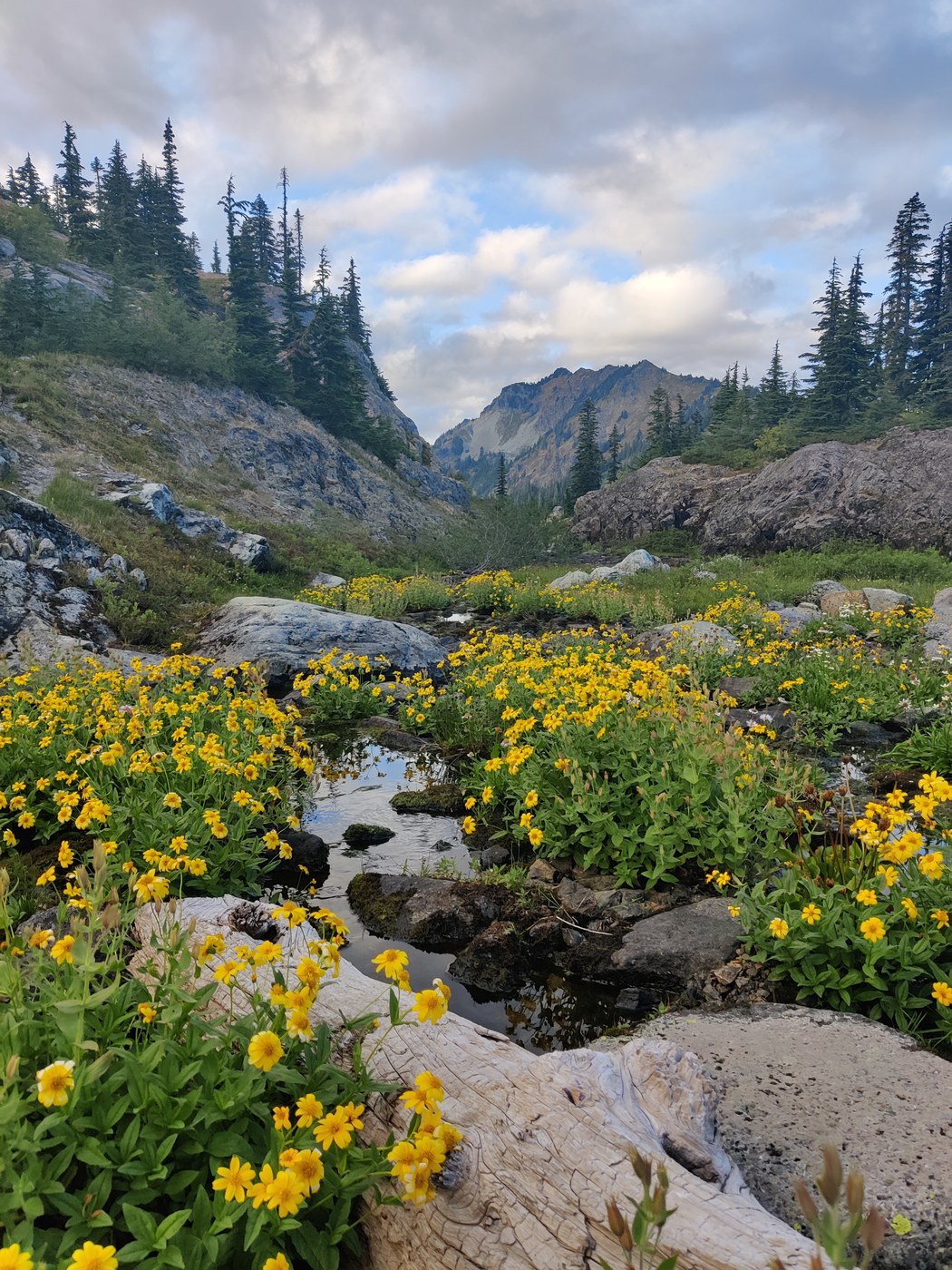
Climbing up to Ramparts is another half mile, with a reasonable elevation gain and some patches prone to sliding. Turning left takes you to the Ramparts, where a ton of social trails cut between the fragile meadows and many ponds. As a late arrival, we dropped our packs and scoured, but had to settle on an exposed slab by the water.
In the daytime, Ramparts are quiet, but the wind started to pick up as the sun neared sunset. Our tent nearly flipped into the water when setting up (with our packs inside as weight!). We used some fallen logs as tiedowns, since the stone slab was impossible to stake into. The wind howled throughout the night, so bring earplugs if you're a light sleeper.
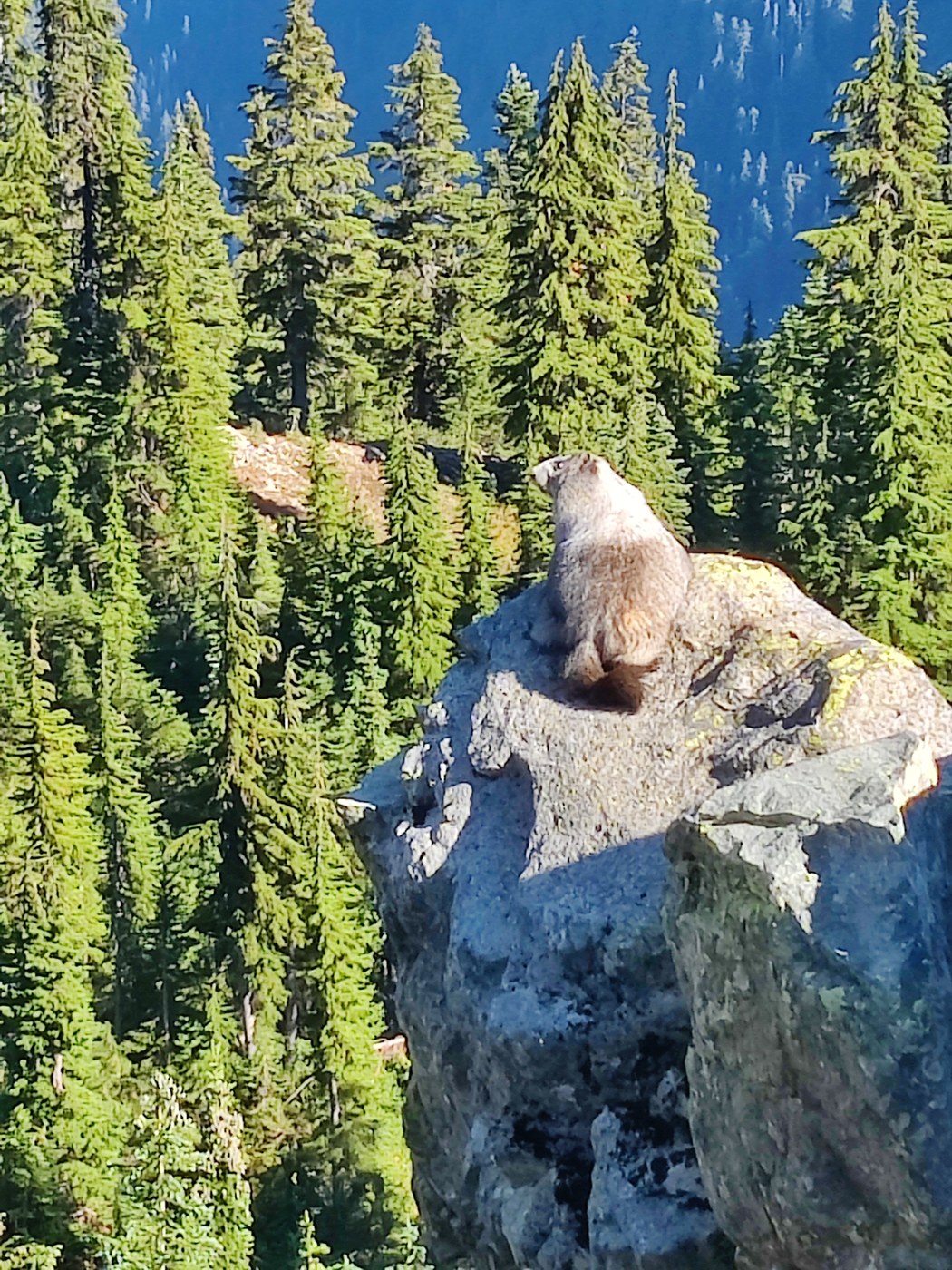
The next morning, we climbed up the western bootpath to Rampart Ridge, stopping for pikas scurrying with fern clippings in their mouths. The ascent to the peak is a short climb with views of Ramparts and Rachel to the east, Rainier and I-90 to the west.
Lillian
Dropping down we followed a drying creek with lingering flowers, and rejoined the main trail. Heading south, the descent to Lake Lillian is steep and prone to sliding, and a hiker tumbled off the trail (dragging a dog with him!). Use your poles and side steps to navigate the sandy slope.
Lillian had a social trail on the northern shore that led to a nice sunny shore. We saw a campfire ring, with partially burned plastic wrappers. :(
Lila / Alta
Climbing back up, we followed the 'main' trail this time and returned to Ramparts, packing up our camp. Continuing northbound, we hit Alta Mountain -- and although the peak is one mile in, you reach the ridgetop halfway.
Dropping down, we hit Lila Lake for a quick swim. The trail doesn't round the lake, so retrace your steps counterclockwise for an easier return. There are some tarns to the north of Lila, but from Alta they looked a bit dried and small and we opted to skip them.
From Lila, we pushed back to our car, plowing down the steep descent and letting the jiggly legs relax on the flat stretch along Box Canyon Creek.

Comments