Trying to beat the smoke moving in for the weekend (and from the Goat Rocks Fire), I decided to head for a new spot in Goat Rocks that promised to be free from crowds, McCall Basin under the northeast face of Old Snowy Mtn.
Starting at the Scatter Creek Trailhead, the hike follows the North Fork Tieton River trail (#1118) for about 2 miles through forest burned in the 2018 Miriam Fire. The forest is recovering rapidly and new growth of flowers, shrubs and trees is vigorous everywhere. Do be careful, though, as on the way down during windy Friday (9/9) a burned tree trunk fell down with a very loud "WOMP!" After 2 miles you pass quickly out of the burn and enter beautiful forest with many creeks flowing surprisingly well this late in this hot dry summer.
At about 5 miles at Tieton Pass you'll join the PCT and follow it south with only gradual elevation gain for about 1.5 miles. This is where I met nearly all the other hikers in the 2 days I was out, with half being thru-hikers on their way north. At 5200' you'll meet the Y junction for the trail dropping a bit down to McCall Basin, marked with a placard down the trail reading "McCall Basin Trail - Dead End."
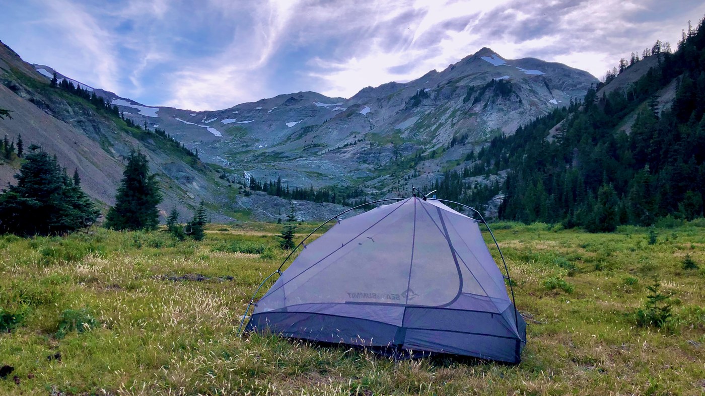
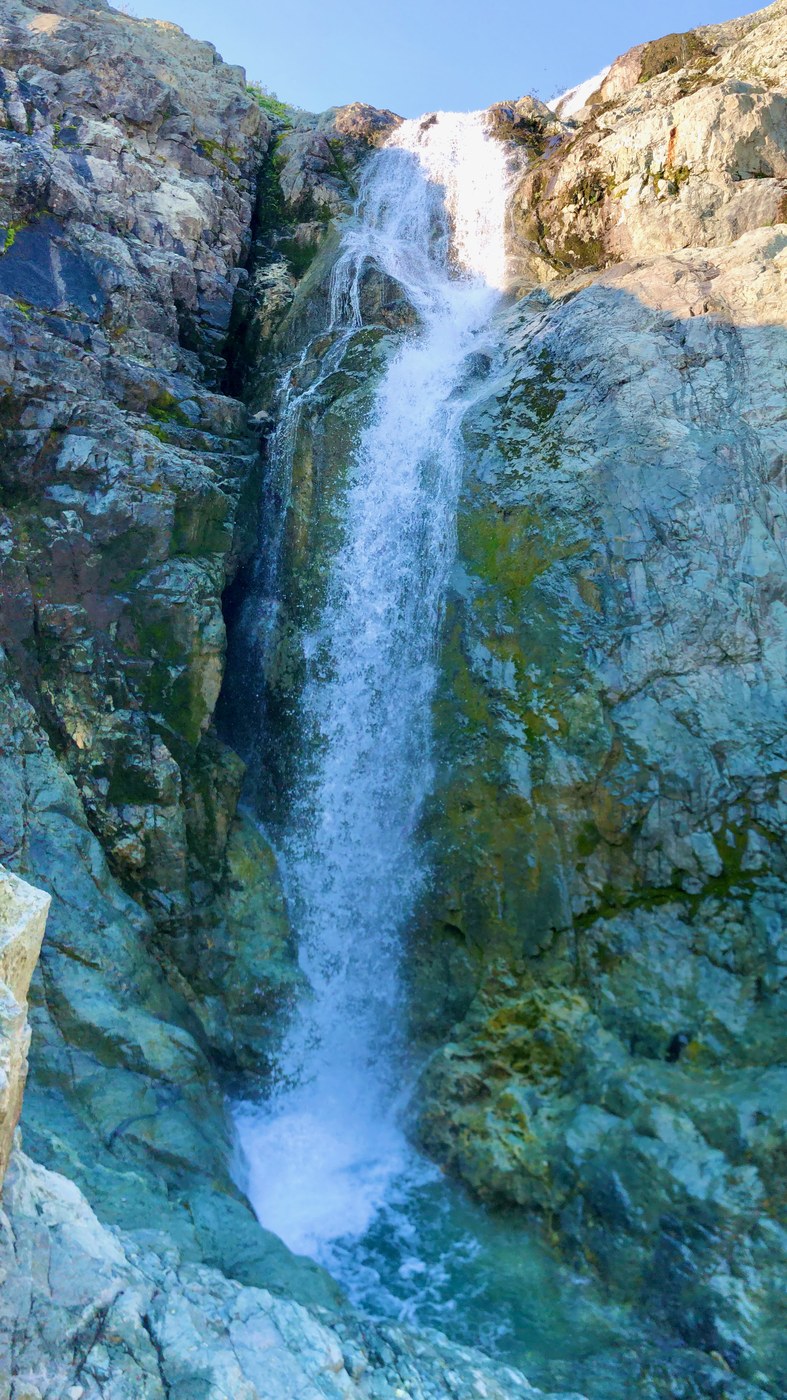
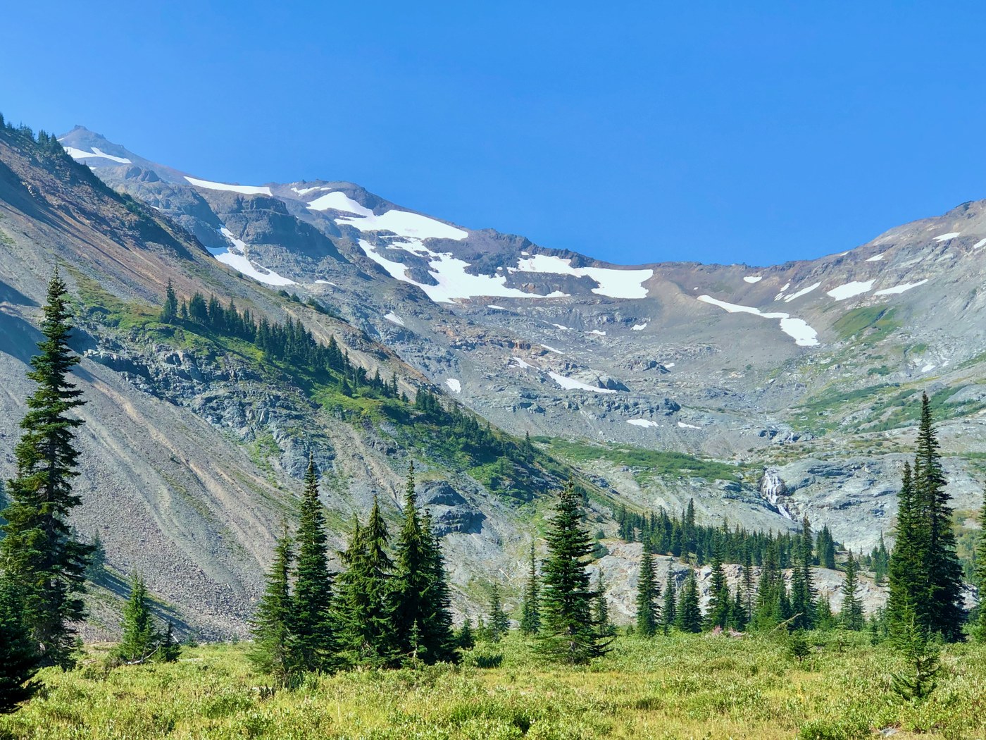
McCall Basin has a few progressively larger connected meadows with many large campsites. The basin is also used by stock, with plenty of evidence for that. haha. Follow the trail through the basin to the final campsite near the river and climb about 100' up the well marked trail south through the forest within earshot of the waterfall. There, you'll enter a much bigger 1/2 mile long meadow that appears to be the remnants of an Ice Age glacier outwash plain. The upper end is very rocky from seasonal flooding but the lower end of this meadow has many suitable grassy areas for camping. The views are spectacular, but unless you're camping on the far right side of the meadow, Old Snowy's summit will probably stay hidden from view. Still, the entire ridge leading up to Old Snowy is visible and this is where the PCT traverses going north after climbing out of Lily Basin on Goat Rocks' west side.
This huge basin affords much to explore, including lots of waterfalls and high grassy areas with lots of evidence of elk and mountain goat.


Comments