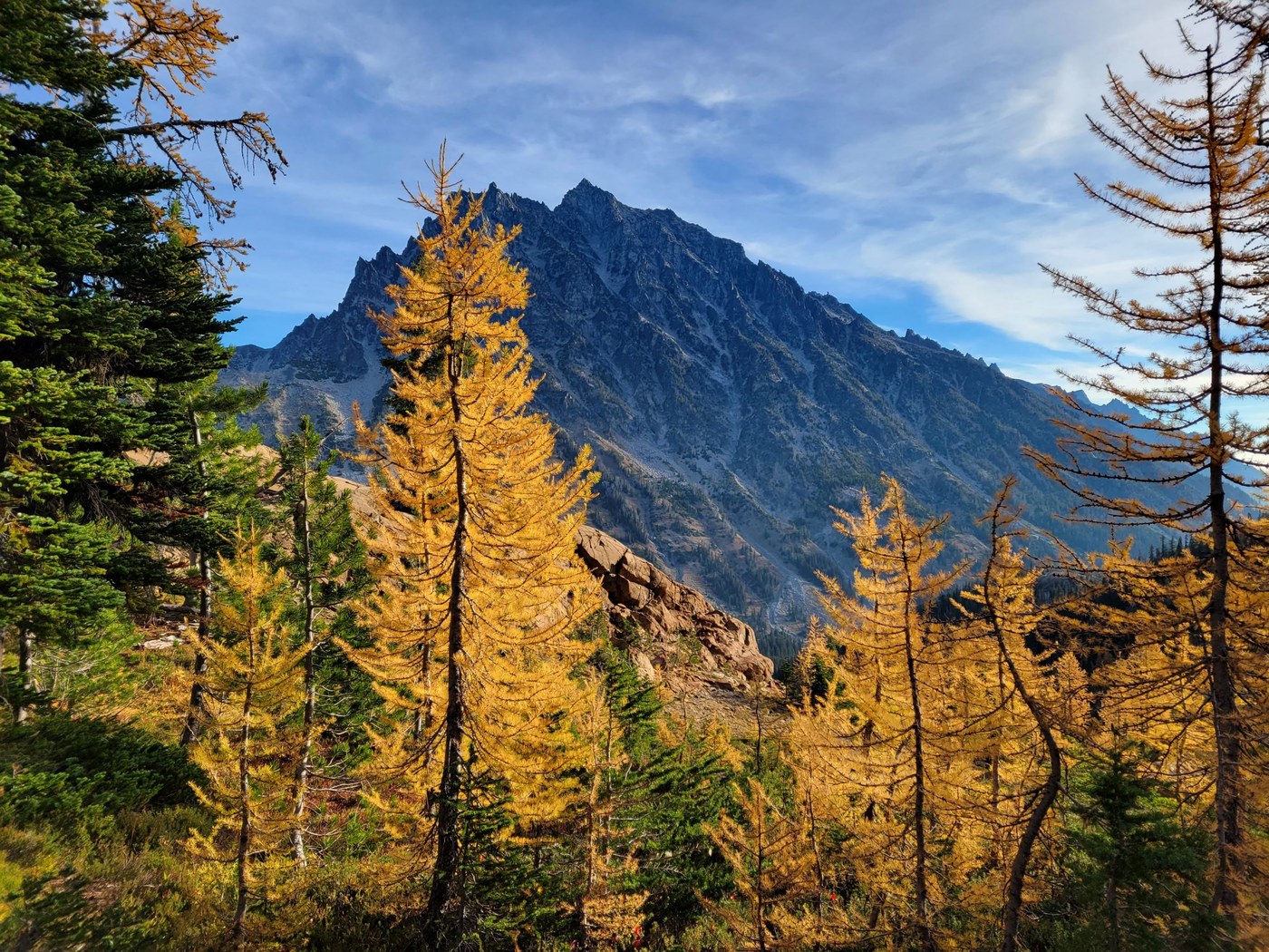
This loop hike is perfect for the more advanced hiker/adventurer that wants to see some larches, avoid the crowds, and get a good work-out while enjoying more up-close views of Mount Stuart...but it is not recommended for the casual larch viewer. On Gaia we clocked just over 11 miles and ~3700’ of elevation gain.
My friend and I arrived at the Esmeralda/Lake Ingalls TH at 7:20am on a Friday and had our pick of parking spots in the main parking area. By the time we returned at 2:20pm there were cars parked probably 3/4 of a mile down the trail...and we were shocked. The way we did this loop provided unbelievable solitude.
We made it up to Ingalls Pass fairly quickly, seeing only a handful of other hikers on their quest for larches. It was smokey, but not unbearable. Larches were in full color, likely at their peak as some are already dropping needles. We opted to take the right-hand trail through Headlight Basin past the camp areas but having been to Lake Ingalls before in larch season; both paths are spectacular, and for those only going to/from the lake, do both!
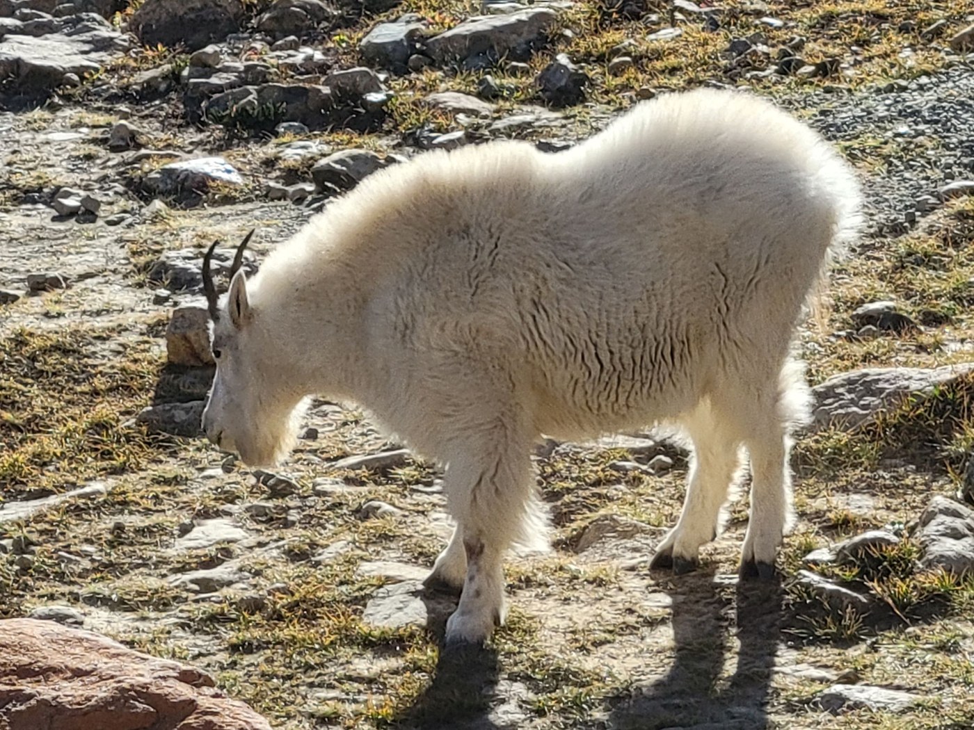
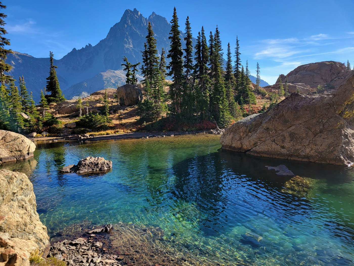
There were a handful of other hikers at the lake when we arrived, including a very handsome goat, that was clearly used to humans being around, but seemed more curious than aggressive. After a nice break, we headed left around the lake to connect to the Ingalls Creek trail on the back side. There are some cairns, but it was slow going climbing over the rocks as many of them have been polished smooth from all the foot traffic, so they are quite slick in many spots. The view from the back side of the lake was one of my favorites from the whole hike.
There are enough 'social trails' at the back side of the lake, that it was nice having Gaia (or whatever GPS you might use) to do quick checks to ensure we were on the right trail. It became even more useful as we descended down the Ingalls Creek trail, which is far less traveled and has places where you can easily wander off trail when avoiding small blowdowns or crossing drainage paths that look like the trail more than the trail. It was a long, relatively easy descent down the backside of Lake Ingalls to Ingalls Creek camp. Then the real fun began. You climb ~1,000' in less than a mile with no switchbacks. We didn't expect it be as challenging as it was, but after already having gone 8 or 9 miles, the straight up ascent on a hot, smokey day, with minimal/no switchbacks was a grind. It is the last 200’ of ascent that make me caution less experienced hikers away. It is very steep, very slick in places due to the lack of traction on gravel, required a bit of scrambling and good traction shoes. Poles were essential!
The positives included spectacular up-close views of Mount Stuart, a large grove of larches as you ascend to Long’s Pass, AND solitude. On a crazy, busy larch viewing Friday, we saw exactly 4 people from the time we left Lake Ingalls until we reached the junction to the main trail again. The descent back to the TH from Long’s Pass is a veritable freeway (without people), smooth, and nicely graded switchbacks, compared to the straight down gravel on the backside!
If you’re looking to add a little adventure to your larch hike this year, do this loop. Just be prepared with route-finding skills, good traction, poles and lots of water for this unseasonably hot weather!


Comments
surrational on Lake Ingalls, Longs Pass, Ingalls Creek
Hey, we found a trail without any crowds, so I think I should share it on a public website... is that the thought process that went through your head?
Posted by:
surrational on Aug 13, 2023 11:56 PM