Bottom Line:
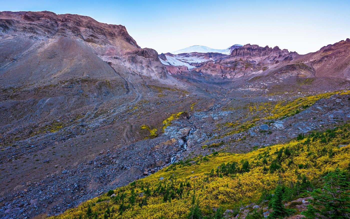
I headed over from Naches Peak Loop in the morning, to find this trail relatively tranquil despite the crowded parking lot at White River campground. Beautiful fall color up in Glacier Basin itself, although with a later afternoon start, one can expect a mainly shady basin this time of year (which rapidly cools once the sun sets behind Rainier and the lip of the basin). This is a great spot to see wildlife, from goats to bears - today was a goat day :)
Stats:
- Distance: 8.9 miles
- Duration: 3-1/2 hours
- Vertical: 2340 feet
- Road/Parking: Hwy 410 summer construction is finally finished, and the road is a thing of beauty. The Ranger station is still manned on Sunrise Road, so a daily fee or annual National Park pass is required. The trailheads for Owyhigh and Summerland were packed (cars lining the road beyond the Summerland trail head for quite a distance), as was the White River Campground, which is "the end of the road" with the road up to Sunrise now closed for the season (seems early); White River was predictably busy as a result, but was able to find an open parking spot in the lot in the afternoon, despite cars being parked along the road all the way back to Sunrise Road
- Weather: Sunny, warm (70s - 50s), a little hazier than the morning at Naches Peak but still not smell of smoke; breezy up in Glacier Basin with a chill - I changed into 3 wool layers and put on a wool hat
- Trail: Given the later afternoon start, the sun was just setting on Glacier Basin when I reached Glacier Basin camp (only one tent); the trail up to that point is relatively uneventful (an old mining road most of the way), but there are many pretty stream crossings along the way (a surprising amount of water this late in the season), views of Rainer and White River, the spur to view the terminus of Emmonds glacier, etc. From Glacier Basin, the rest of the trail is marked "unmaintained", but do not let that you deter you - continue for a rocky, near/above tree line adventure up to the end of the basin. I have never done this hike this late in the season, which now substitutes flowers and alpine streams for fall color and deep shadows. We always see goats on this hike, and today was no exception, although guys, I am not that scary! (they were pretty skittish)
- Takeaway: A mix of fall color on this trail, with mostly green vegetation down low, and some beautiful fall color in the upper reaches of the basin; a little dark (and chilly) for an afternoon hike, making photography a little more of a challenge, but I can say that I caught the area in a different light than I have before. I might have stayed until sunset for better light.


Comments