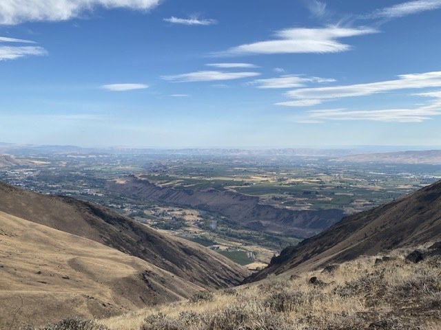
Got to the trailhead (1600 feet elevation) about 11:30 am with the intention of hiking up the canyon and back. This part of the trail is delightful as it winds up the canyon, crossing the dry creek several times, passing through areas of shrubs and brush with quite a bit of fall color, and even a few late flowers. The aspens had not turned yet. It's been brushed out fairly recently, so though rocky, it's easy walking. Saw a herd of about 15 bighorn sheep across the canyon at about 1.5 miles in. When we arrived at the point where the route turns sharply right to ascend the saddle, (about 2 miles in and 1500 feet of elevation gain from the trailhead), we decided to change plans and go on up to the ridge top and complete the loop in the reverse direction from the WTA hike description. Don't make our mistake! If you decide to hike the loop, we strongly advise that you do it in the direction described in the hike description.
As we ascended the saddle, the "trail" became more of a boot track that climbs the ridge top up to point 3582. Great views all along the ridge, though the mountains were in clouds. To close the loop, we then followed the boot track down the crest and spur back to the trailhead. This is the part that was challenging. It's steep, dropping nearly 2000 feet in about a mile and a quarter, and conditions were extremely dry, so the track was a mix of fine dust, loose gravel and small stones--very unstable footing. It took jamming poles into the ground to minimize slipping, and overall was pretty tough on knees. It required slow going to avoid falling. It would have been easier and safer to do this part of the hike going uphill rather than down.
Don't let this discourage you from going. It's a beautiful area with great views and wildlife viewing opportunities. Just follow the route in the suggested way, or do an out and back up the canyon.


Comments