My birthday gift to myself was to be photos of the B-17 crash site off of Tubal Cain Mine / Tull Canyon Trail. I studied up online as much as I could learn from previous finders. As it ended up, it wasn't enough information, and the weather conditions didn't allow my birthday gift to materialize.
I gleaned from years of Trip Reports that rarely / no one visited in the months of January - April. That was concerning immediately. Despite this, my sister and I packed up, prepare as best as we could with ski pants, layers, water, etc.
My 1989 Dodge Dakota pickup seemed to be up to the task of driving on NF roads. Based on the written driving instructions, we were disoriented at the NF - 2880 split. We turn down the right fork which eventually turned into NF 2927, and NF 2870. We lost about an hour traversing that mess, and back tracking to the junction.
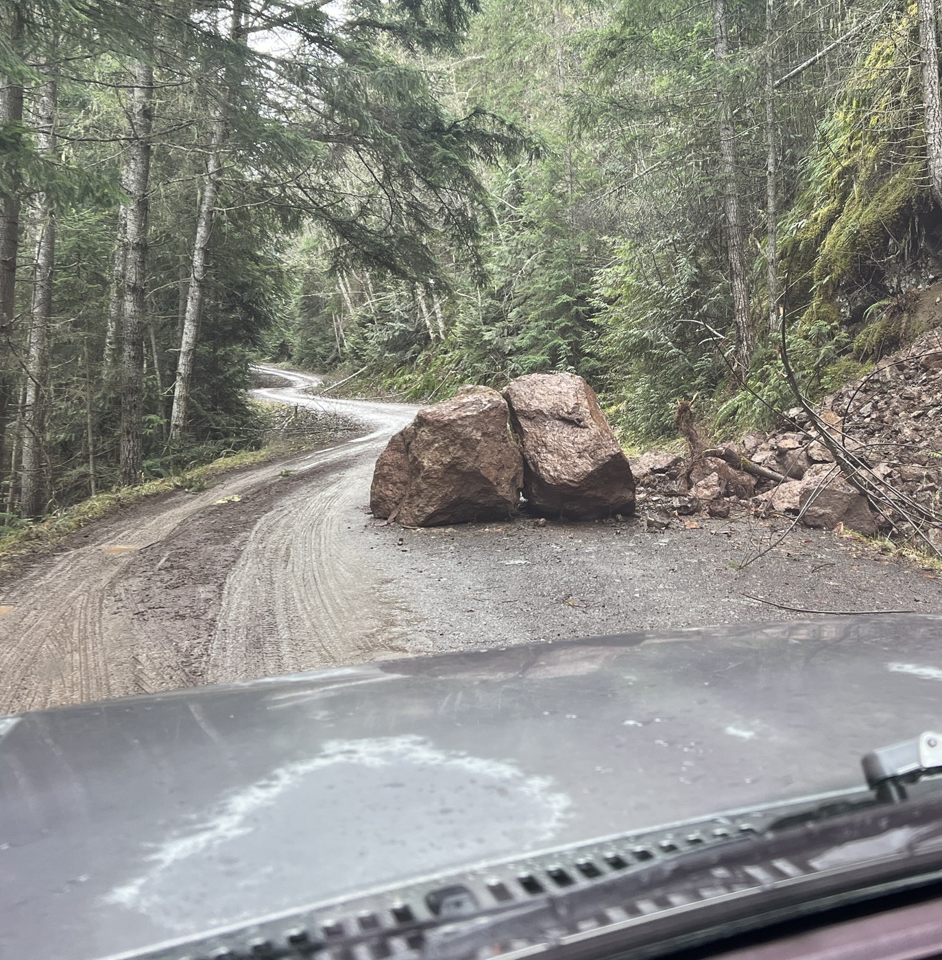
At 47.952654, -123.111759 (approximately) we encountered a couple of boulders had fallen down, and damn-near blocking the road. In hindsight, we should've turned around. (see photo below) We didn't.
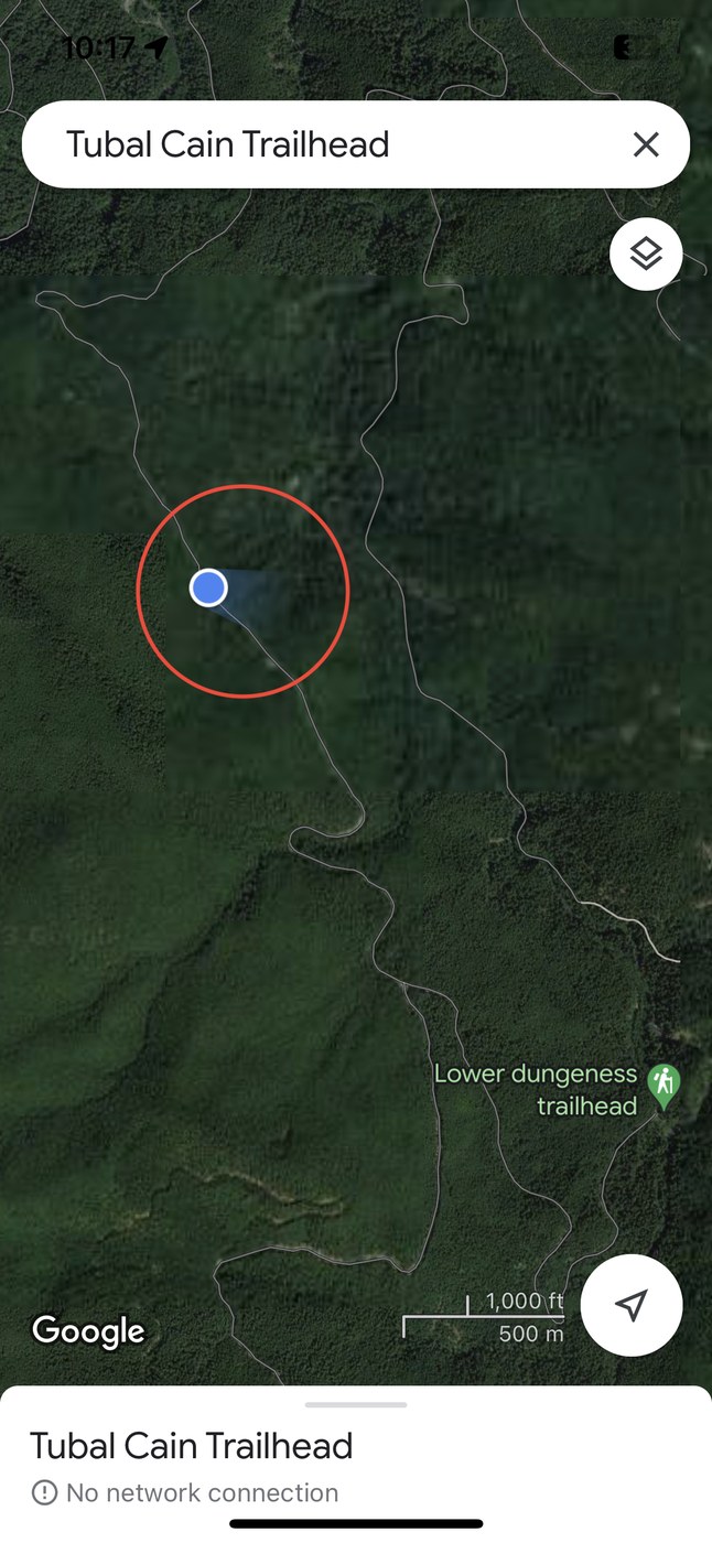
With a weak signal from Google Maps to my iPhone, we successfully navigated to the TH. The weather forecast called for 45%-50% chance of snow fall at 4,300 elevation later in the day, which we knew we couldn't face anymore delays.
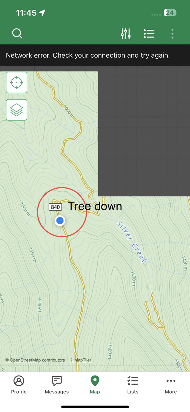
The snow-free beginning lulled us into a false sense of security. We trudged up the slightly inclined trail of 840 en route to 847 for the B-17 crash site. By the time we had hike to the junction, we were observing snowflakes dropping from the tree canopy. I was determined to find this B-17. I left my sister at the junction, and scampered up the trail. After a couple hundred feet, and out of sight from my hiking partner I encountered icy covered rocks, and if not, then sheets of ice on parts of the trail that if you slipped on you would be deposited off the mountain into boulders below.
As I stood there calculating the risk of hiking further, and assessing my lack of gear, the snowflakes were getting more frequent and increased in size. It broke my all-determined heart, but I decided on safety. Even if we had hiked back to the truck sooner, we still had 21 miles to reach pavement while it snowed on us.


Comments